2000s (21st Century) Maps of Vernon Township, Michigan
Explore 20 historic maps of Vernon Township from the 2000s (21st Century). These maps offer a rare glimpse into what life looked like during the 2000s — showing old roads, neighborhoods, homes, and landmarks that have changed or disappeared over time.
Whether you're researching your family's past, planning a metal detecting trip, or studying how Vernon Township's landscape evolved across the 2000s, these high-resolution maps are a powerful tool for exploring the history of this region.
- Focus on a specific era: All maps on this page are from the 2000s, giving you a focused view of this time period.
- See what’s changed: Compare century-old streets, trails, and buildings to today's modern landscape using overlays and satellite layers.
- Research with precision: Use these maps for genealogy, historical research, land use analysis, or educational projects.
- View, download, or print: Maps are fully viewable online in high resolution, and can be downloaded or printed for your own records.
Start exploring Vernon Township's history through authentic maps from the 2000s. This is your window into the past.
Vernon Township, MI maps
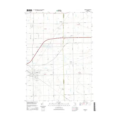
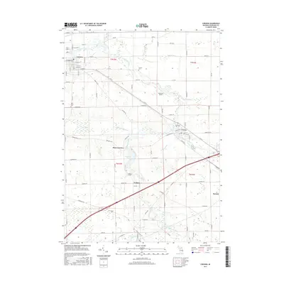
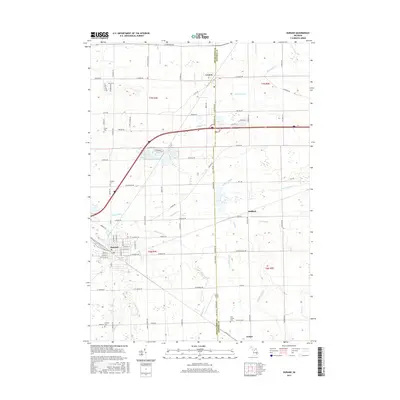
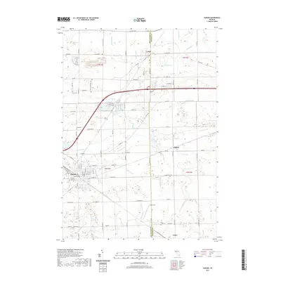
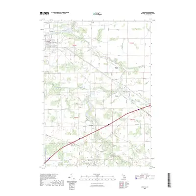
(20)- 2011 Map of Corunna, 2011 Print
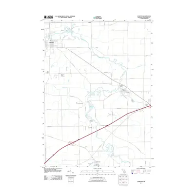 2011 Corunna2011 Print · USGSCovers Vernon Township, including Durand, Corunna, and other nearby areas
 - 2011 Map of Corunna SE, 2011 Print
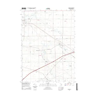
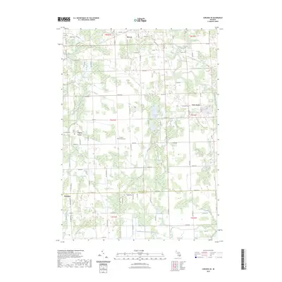
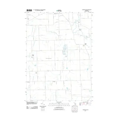 2011 Corunna SE2011 Print · USGSCovers Vernon Township, including Conway Township, Cohoctah Township, and other nearby areas
 - 2011 Map of Durand, 2011 Print
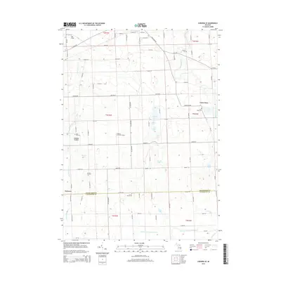
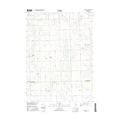
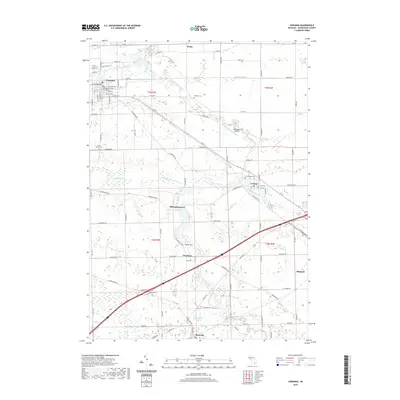
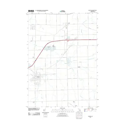 2011 Durand2011 Print · USGSCovers Vernon Township, including Durand, Lennon, and other nearby areas
 - 2011 Map of Byron, 2011 Print
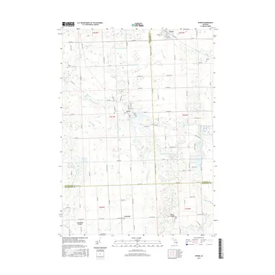
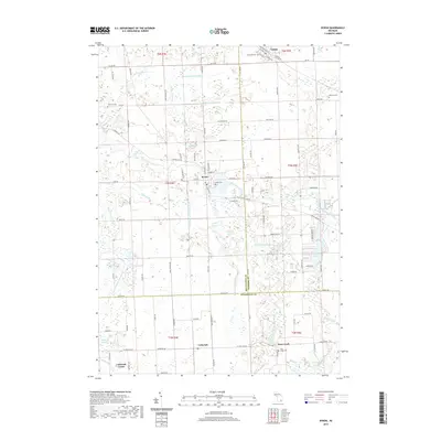
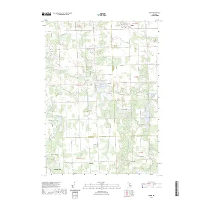
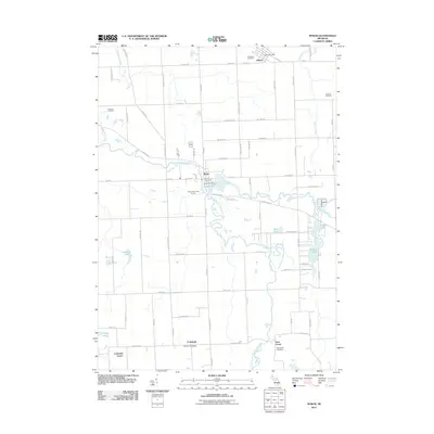 2011 Byron2011 Print · USGSCovers Vernon Township, including Deerfield Township, Cohoctah Township, and other nearby areas
 - 2014 Map of Durand, 2014 Print
 2014 Durand2014 Print · USGSCovers Vernon Township, including Durand, Lennon, and other nearby areas
 - 2014 Map of Corunna SE, 2014 Print
 2014 Corunna SE2014 Print · USGSCovers Vernon Township, including Conway Township, Cohoctah Township, and other nearby areas
 - 2014 Map of Byron, 2014 Print
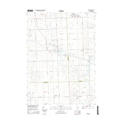 2014 Byron2014 Print · USGSCovers Vernon Township, including Deerfield Township, Cohoctah Township, and other nearby areas
 - 2014 Map of Corunna, 2014 Print
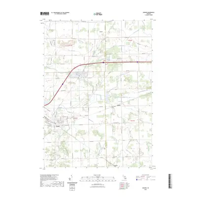
 2014 Corunna2014 Print · USGSCovers Vernon Township, including Durand, Corunna, and other nearby areas
 - 2017 Map of Corunna, 2017 Print
 2017 Corunna2017 Print · USGSCovers Vernon Township, including Durand, Corunna, and other nearby areas
 - 2017 Map of Corunna SE, 2017 Print
 2017 Corunna SE2017 Print · USGSCovers Vernon Township, including Conway Township, Cohoctah Township, and other nearby areas
 - 2017 Map of Byron, 2017 Print
 2017 Byron2017 Print · USGSCovers Vernon Township, including Deerfield Township, Cohoctah Township, and other nearby areas
 - 2017 Map of Durand, 2017 Print
 2017 Durand2017 Print · USGSCovers Vernon Township, including Durand, Lennon, and other nearby areas
 - 2019 Map of Byron, 2019 Print
 2019 Byron2019 Print · USGSCovers Vernon Township, including Deerfield Township, Cohoctah Township, and other nearby areas
 - 2019 Map of Corunna SE, 2019 Print
 2019 Corunna SE2019 Print · USGSCovers Vernon Township, including Conway Township, Cohoctah Township, and other nearby areas
 - 2019 Map of Corunna, 2019 Print
 2019 Corunna2019 Print · USGSCovers Vernon Township, including Durand, Corunna, and other nearby areas
 - 2019 Map of Durand, 2019 Print
 2019 Durand2019 Print · USGSCovers Vernon Township, including Durand, Lennon, and other nearby areas
 - 2023 Map of Corunna SE, 2023 Print
 2023 Corunna SE2023 Print · USGSShiawassee and Livingston Counties are captured in this recent survey, showing the rural landscape surrounding Bancroft and Antrim Center. Researchers can locate several historic burial sites, including the Union Plains Cemetery and Scribner Road Cemetery, alongside landmarks like Pingston Aeroworks Airport.
 - 2023 Map of Corunna, 2023 Print
 2023 Corunna2023 Print · USGSShiawassee County in the early 2020s remains a landscape shaped by its river systems and historic town centers. Researchers can trace family sites at Greenwood Cem or Fremont Cem while following the path of the Great Lakes Central RR through Bancroft and Vernon.
 - 2023 Map of Byron, 2023 Print
 2023 Byron2023 Print · USGSThe rural borderlands where Shiawassee, Genesee, and Livingston counties converge are captured here in the early twenty-first century. Genealogists and local historians can trace family plots at Pine Tree Cem and Deer Creek Cem or locate the historic Byron Mill Pond.
 - 2023 Map of Durand, 2023 Print
 2023 Durand2023 Print · USGSMid-Michigan rail and agricultural history come together in this survey of the Durand and Lennon areas at the start of the 2020s. Genealogists and local historians can locate Saint Joseph Cem, the quiet hamlet of Duffield, and the namesake Lovejoy Cem.
End of results
Showing maps 1-20 of 20
Top cities near Vernon Township
- Flint historical maps
- Owosso historical maps
- Hartland Township historical maps
- Oceola Township historical maps
- Tyrone Township historical maps
- Flushing historical maps
See more
Top neighborhoods of Vernon Township
Frequently asked questions
- What are the different types of historical maps available for Vernon Township?
- What is the oldest map of Vernon Township?
- Where can I purchase historical maps of Vernon Township for my home or office?
- Where can I download high-res historical maps of Vernon Township?
- Are there historical topographic maps available for Vernon Township?
- Is there historical aerial imagery available for Vernon Township?
- Where are historical maps of Vernon Township sourced from?