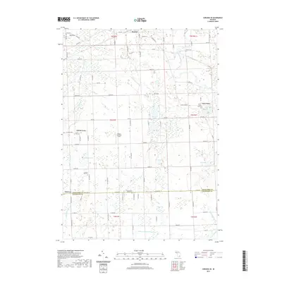
2019 Map of Corunna SE
USGS Topo · Published 2019About this map
The Shiawassee River and Looking Glass River headwaters define the drainage of this rural landscape straddling the border of Shiawassee and Livingston Counties. Small agricultural settlements like Antrim Center, Union Plains, and Nicholson serve as focal points for the surrounding farmstead grid. For genealogists and local historians, several burial sites are documented across the townships, including Union Plains Cem, Glass River Cem, and the Conway Antrim Baptist Cem. The terrain is characterized by numerous small glacial lakes and depressions such as Aginaw Lake, Euler Lake, and Merrill Lake, many of which are linked by man-made drainage systems like the Conway Cohoctah Union Drain. The presence of the Pingston Aeroworks Airport and a network of gravel and paved roads, including Bath Rd and Lovejoy Rd, illustrates the persistent infrastructure of these mid-Michigan farming communities in the early twenty-first century.
Find a feature on this map
83 named features on this map. Tap any name to fly to it.
Don’t see what you’re looking for? This feature index may not catch every label — zoom into the map to look around manually.
Map Details
Editions of this 2019 Corunna SE Map
This is the sole edition of this map. No revisions or reprints were ever made.
Other maps of this area

1907 · Howell
USGS Topo · 1:62,500

1908 · Fowlerville
USGS Topo · 1:62,500

1909 · Howell
USGS Topo · 1:62,500

1910 · Fowlerville
USGS Topo · 1:62,500

1922 · Durand
USGS Topo · 1:62,500

1926 · Corunna
USGS Topo · 1:62,500

1929 · Corunna
USGS Topo · 1:62,500

1943 · Durand
USGS Topo · 1:62,500

1944 · Corunna
USGS Topo · 1:62,500

1954 · Detroit
USGS Topo · 1:250,000