Old Maps of Akron Township, Michigan for Academic Research
Study the evolution of Akron Township with 27 high-resolution historic maps. Whether you're teaching, researching, or modeling changes in land use, these maps provide essential visual documentation of urban, environmental, and geographic change.
- Analyze long-term change: Track patterns in development, transportation, and natural features.
- Ideal for environmental or urban studies: Support academic projects with primary historical map data.
- Use in the classroom or lab: Educators and researchers rely on these maps to bring historical context to life.
These maps are a powerful tool for teaching, research, and visualizing how Akron Township has changed over the decades.
Akron Township, MI maps
(27)- 1954 Map of Flint, 1968 Print
 1954 Flint1968 Print · USGSThe industrial corridor and fertile Thumb region of Michigan come alive in this mid-century survey. Genealogists and historians can trace the rail networks of the Grand Trunk, locate established settlements like Bad Axe and Sandusky, or explore the 1950s shoreline along Saginaw Bay.4 unique versions available
 - 1958 Map of Flint
 1958 Flint1958 Print · USGSThe Michigan Thumb and the Saginaw Valley are captured here during the height of the post-war industrial era. Researchers can trace the complex rail networks of the Grand Trunk Western or locate mid-century landmarks like Lakeport State Park and the port at Bay City.2 unique versions available
 - 1963 Map of Fish Point, 1964 Print
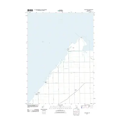
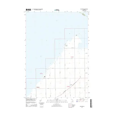
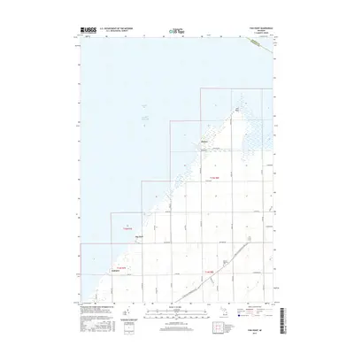
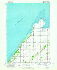 1963 Fish Point1964 Print · USGSSaginaw Bay’s southeastern shoreline is captured here in the early 1960s, showing a landscape of reclaimed marshlands and coastal hamlets. Genealogists and local historians can trace family locations near Hickory Highland Cem, the small settlement of Thomas, or the Townhall in the township of Wisner.3 unique versions available
 - 1963 Map of Fairgrove, 1964 Print
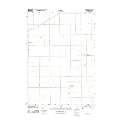
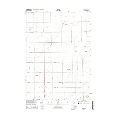
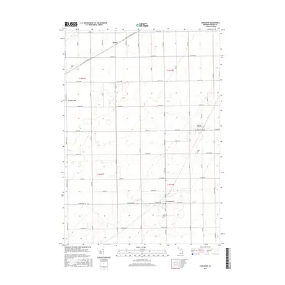
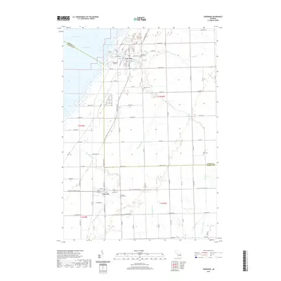
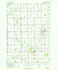 1963 Fairgrove1964 Print · USGSThe agricultural heart of Tuscola County is captured here in the early sixties as the sugar beet and bean fields prospered. Genealogists and local historians can locate rural landmarks like Battelle Sch, the Wisner Cem, and the village of Akron.2 unique versions available
 - 1963 Map of Colling, 1965 Print
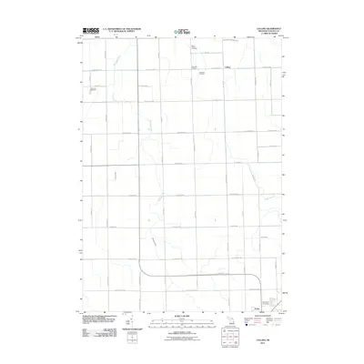
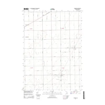
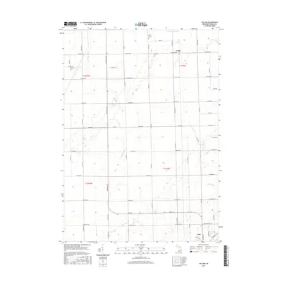
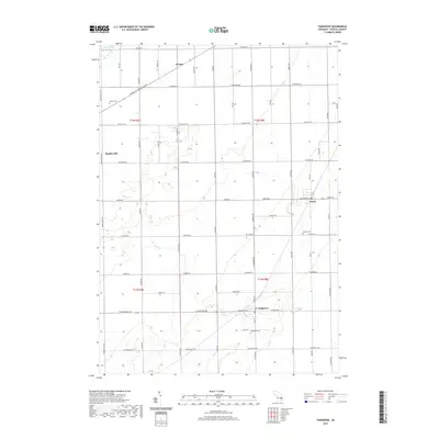
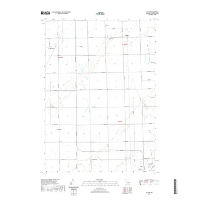
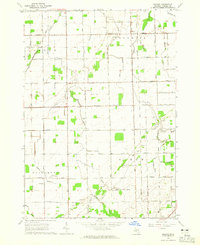 1963 Colling1965 Print · USGSTuscola County farm country is mapped here in the early sixties, showing the vital drainage systems and rail lines that powered the local economy. Genealogists can trace family roots through sites like St Peters Cem, Columbia Corners, and the Almer Center Sch.2 unique versions available
 - 1963 Map of Sebewaing, 1965 Print
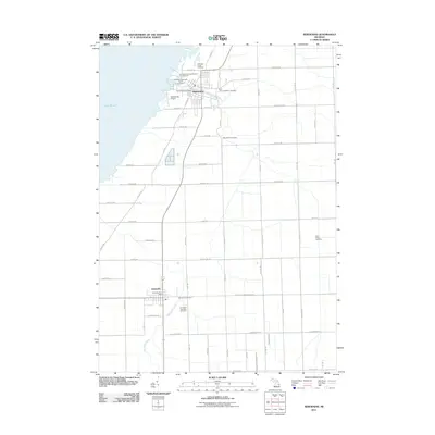
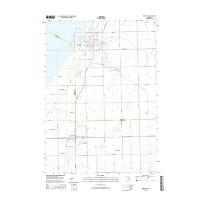
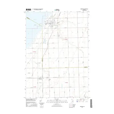
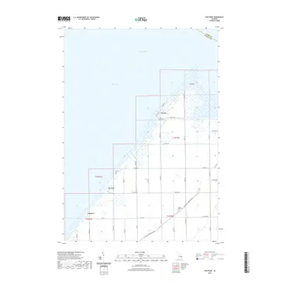
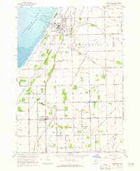 1963 Sebewaing1965 Print · USGSThe Saginaw Bay shoreline and the Thumb's fertile farm country are captured here in the early sixties. Genealogists and local historians can trace the rail lines of the Chesapeake and Ohio and locate landmarks like New Salem Cem and Unionville.2 unique versions available
 - 1984 Map of Bay City, 1985 Print
 1984 Bay City1985 Print · USGSSaginaw Bay and the surrounding Michigan thumb region are captured in the mid-1980s, showing a landscape defined by industrial riverfronts and expanding lakeside parks. Researchers can trace family roots through landmarks like Floral Gardens Cem or follow the Chesapeake and Ohio rail lines through towns like Bad Axe and Pigeon.
 - 2011 Map of Fish Point, 2011 Print
 2011 Fish Point2011 Print · USGSCovers Akron Township, including Wisner Township, Oakhurst, and other nearby areas
 - 2011 Map of Fairgrove, 2011 Print
 2011 Fairgrove2011 Print · USGSCovers Akron Township, including Fairgrove, Wisner, and other nearby areas
 - 2011 Map of Colling, 2011 Print
 2011 Colling2011 Print · USGSCovers Akron Township, including Caro, Columbia Township, and other nearby areas
 - 2011 Map of Sebewaing, 2011 Print
 2011 Sebewaing2011 Print · USGSCovers Akron Township, including Sebewaing, Unionville, and other nearby areas
 - 2014 Map of Colling, 2014 Print
 2014 Colling2014 Print · USGSCovers Akron Township, including Caro, Columbia Township, and other nearby areas
 - 2014 Map of Fairgrove, 2014 Print
 2014 Fairgrove2014 Print · USGSCovers Akron Township, including Fairgrove, Wisner, and other nearby areas
 - 2014 Map of Sebewaing, 2014 Print
 2014 Sebewaing2014 Print · USGSCovers Akron Township, including Sebewaing, Unionville, and other nearby areas
 - 2014 Map of Fish Point, 2014 Print
 2014 Fish Point2014 Print · USGSCovers Akron Township, including Wisner Township, Oakhurst, and other nearby areas
 - 2017 Map of Colling, 2017 Print
 2017 Colling2017 Print · USGSCovers Akron Township, including Caro, Columbia Township, and other nearby areas
 - 2017 Map of Fairgrove, 2017 Print
 2017 Fairgrove2017 Print · USGSCovers Akron Township, including Fairgrove, Wisner, and other nearby areas
 - 2017 Map of Fish Point, 2017 Print
 2017 Fish Point2017 Print · USGSCovers Akron Township, including Wisner Township, Oakhurst, and other nearby areas
 - 2017 Map of Sebewaing, 2017 Print
 2017 Sebewaing2017 Print · USGSCovers Akron Township, including Sebewaing, Unionville, and other nearby areas
 - 2019 Map of Sebewaing, 2019 Print
 2019 Sebewaing2019 Print · USGSCovers Akron Township, including Sebewaing, Unionville, and other nearby areas
 - 2019 Map of Fairgrove, 2019 Print
 2019 Fairgrove2019 Print · USGSCovers Akron Township, including Fairgrove, Wisner, and other nearby areas
 - 2019 Map of Fish Point, 2019 Print
 2019 Fish Point2019 Print · USGSCovers Akron Township, including Wisner Township, Oakhurst, and other nearby areas
 - 2019 Map of Colling, 2019 Print
 2019 Colling2019 Print · USGSCovers Akron Township, including Caro, Columbia Township, and other nearby areas
 - 2023 Map of Colling, 2023 Print
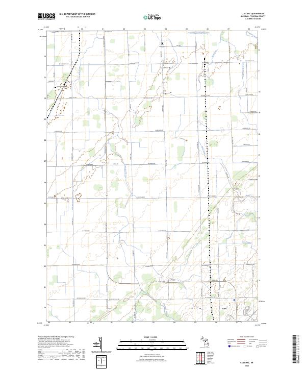 2023 Colling2023 Print · USGSTuscola County farmland is meticulously documented in this recent survey, showing the enduring agricultural layout of the Michigan Thumb. Local historians can trace the intricate network of water management features including Anti Mason Drain, Colling, and Ross Branch.
 - 2023 Map of Sebewaing, 2023 Print
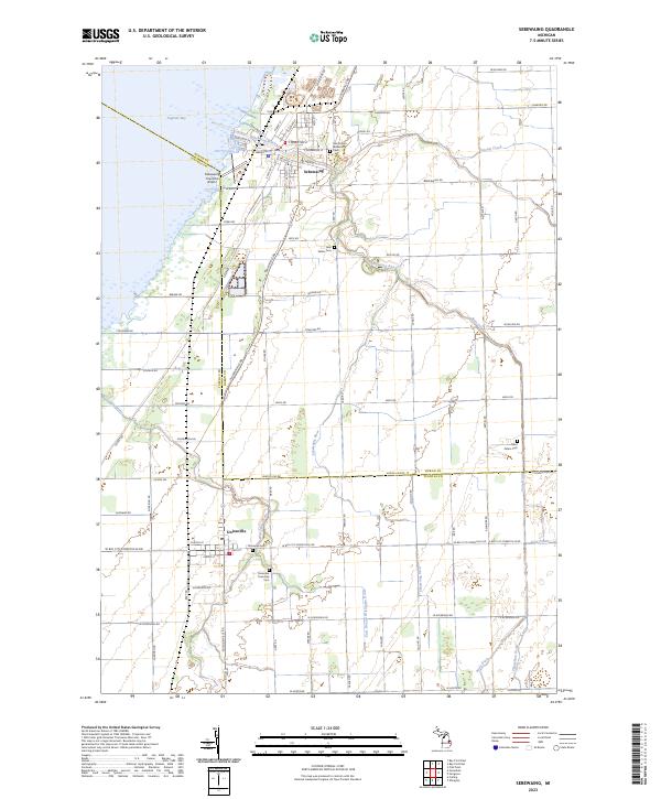 2023 Sebewaing2023 Print · USGSSettled along the shores of Saginaw Bay, this contemporary map shows the enduring agricultural and coastal character of northern Michigan. Researchers can trace family roots at Moravian Cem, Saint Peters Cem, and Columbia Township Cem.
Showing maps 1-25 of 27
Top cities near Akron Township
- Caro historical maps
- Sebewaing historical maps
- Reese historical maps
- Ellington historical maps
- Gilford historical maps
- Fairgrove historical maps
See more
Top neighborhoods of Akron Township
Frequently asked questions
- What are the different types of historical maps available for Akron Township?
- What is the oldest map of Akron Township?
- Where can I purchase historical maps of Akron Township for my home or office?
- Where can I download high-res historical maps of Akron Township?
- Are there historical topographic maps available for Akron Township?
- Is there historical aerial imagery available for Akron Township?
- Where are historical maps of Akron Township sourced from?