
1963 Map of Fish Point
USGS Topo · Published 1964About this map
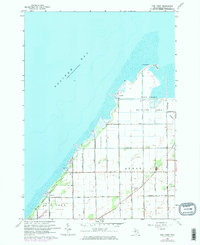
Fish Point Wildlife Area dominates this coastal landscape where the waters of Saginaw Bay meet the low-lying shoreline of Tuscola County. The map details a highly organized agricultural grid in the townships of Akron and Wisner, defined by an extensive network of drainage features like Ackerman Drain and Wisner Creek. These waterways were essential for converting the wetlands of the Thumb region into productive farmland. Small settlements such as Thomas, Bay Park, and Oakhurst appear as modest clusters along the bay shore, while the interior is dotted with local landmarks like the Hickory Highland Cem and a Townhall. An industrial legacy is noted by the presence of a Mine Dump near the eastern edge of the survey, contrasting with the recreational and conservation focus of the Fish Point peninsula.
Find a feature on this map
35 named features on this map. Tap any name to fly to it.
Don’t see what you’re looking for? This feature index may not catch every label — zoom into the map to look around manually.
Map Details
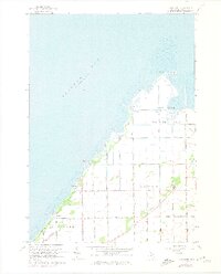
Editions of this 1963 Fish Point Map
3 editions found
Other maps of this area

1954 · Flint
USGS Topo · 1:250,000

1958 · Flint
USGS Topo · 1:250,000

1963 · Quanicassee
USGS Topo · 1:24,000

1963 · Fairgrove
USGS Topo · 1:24,000

1963 · Colling
USGS Topo · 1:24,000

1963 · Sebewaing
USGS Topo · 1:24,000

1970 · Bay Port West
USGS Topo · 1:24,000
1984 · Bay City
USGS Topo · 1:100,000
2011 · Fish Point
USGS Topo · 1:24,000

2011 · Quanicassee OE N
USGS Topo · 1:24,000