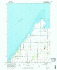
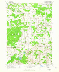
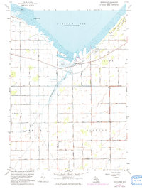
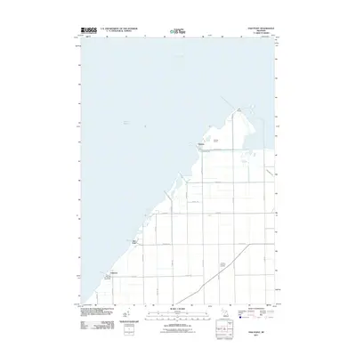
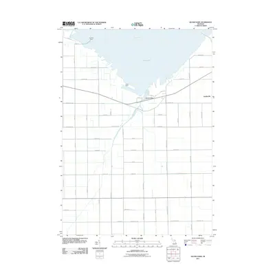
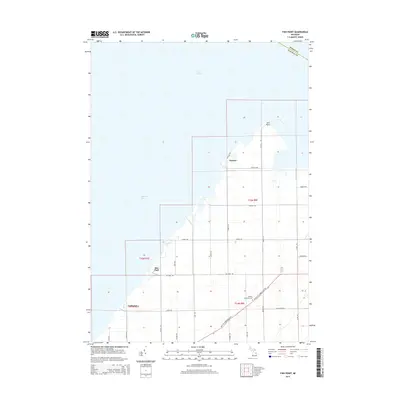
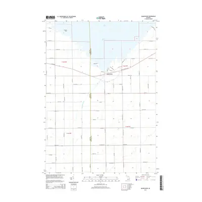
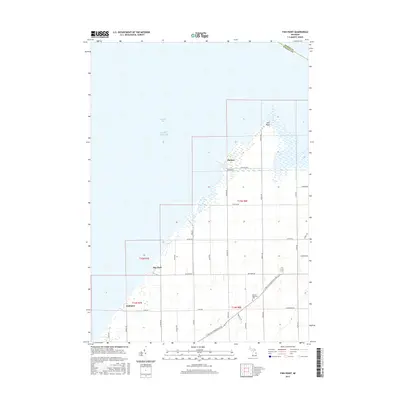
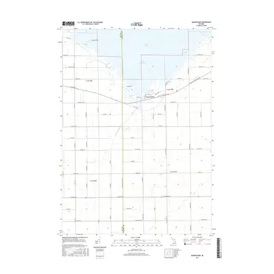
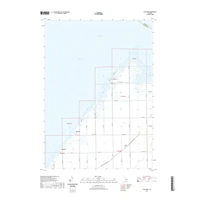
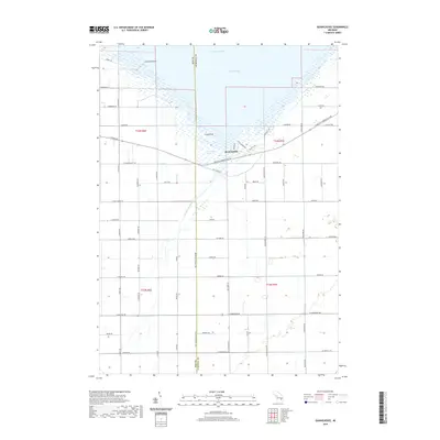
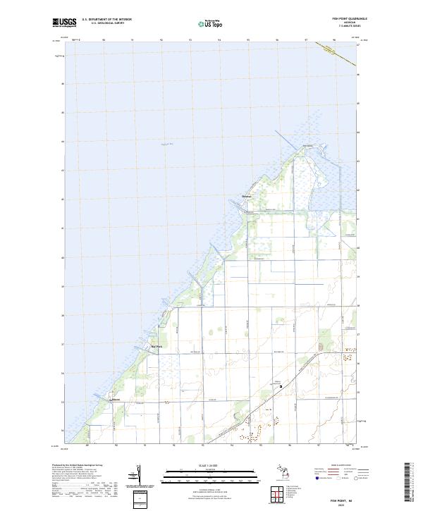
1963 Map of Fish Point
USGS Topo · Published 1974About this map
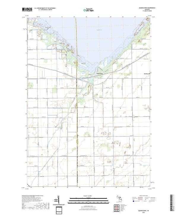
Saginaw Bay defines the western edge of this coastal landscape, where the peninsula of Fish Point extends into the water. This 1963 survey, updated with 1973 photogrammetric revisions, captures the marshy interface between the bay and the agricultural interior of Akron and Wisner townships. The Fish Point Wildlife Area dominates the northern reaches, while the land to the south is organized by a grid of rural roads and drainage infrastructure like the Wiscoggin Drain and Ackerman Drain. Small settlements such as Bay Park and Oakhurst sit along the shoreline, serving as quiet nodes in an area largely dedicated to conservation and farming. Genealogists can locate local landmarks like the Hickory Highland Cem and a rural Townhall, while a solitary Mine Dump near the boundary of section 34 indicates past extractive activity in this primarily alluvial terrain.
Find a feature on this map
34 named features on this map. Tap any name to fly to it.
Don’t see what you’re looking for? This feature index may not catch every label — zoom into the map to look around manually.
Map Details
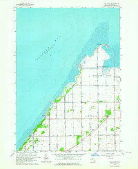
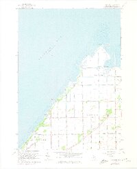
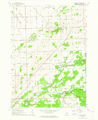
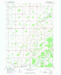
Editions of this 1963 Fish Point Map
3 editions found
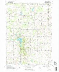
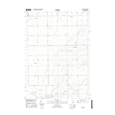
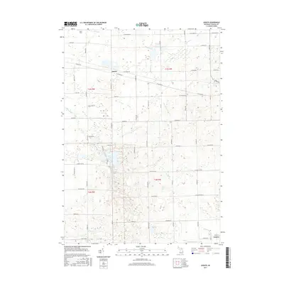
Historical Maps of Oakhurst Through Time
47 maps found
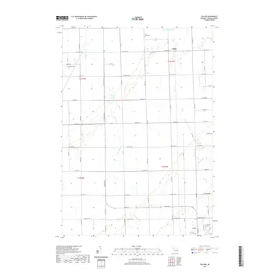
1963 Colling
Tuscola County, MI
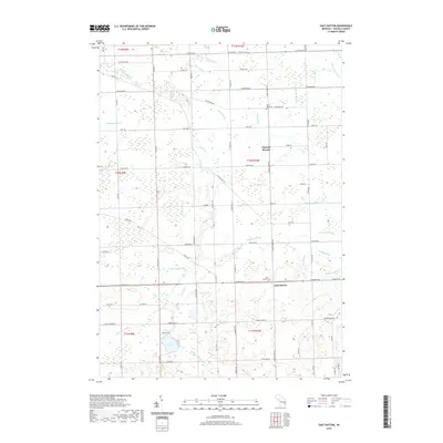
1963 East Dayton
Tuscola County, MI
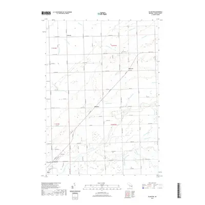
1963 Ellington
Tuscola County, MI
1963 Fish Point
Tuscola County, MI
1963 Gilford
Tuscola County, MI
1963 Juniata
Tuscola County, MI
1963 Quanicassee
Tuscola County, MI
2011 Colling
Tuscola County, MI
2011 East Dayton
Tuscola County, MI
2011 Ellington
Tuscola County, MI
2011 Fish Point
Tuscola County, MI
2011 Gilford
Tuscola County, MI
2011 Juniata
Tuscola County, MI
2011 Quanicassee OE N
Tuscola County, MI
2011 Quanicassee
Tuscola County, MI
2014 Colling
Tuscola County, MI
2014 East Dayton
Tuscola County, MI
2014 Ellington
Tuscola County, MI
2014 Fish Point
Tuscola County, MI
2014 Gilford
Tuscola County, MI
2014 Juniata
Tuscola County, MI
2014 Quanicassee OE N
Tuscola County, MI
2014 Quanicassee
Tuscola County, MI
2017 Colling
Tuscola County, MI
2017 East Dayton
Tuscola County, MI
2017 Ellington
Tuscola County, MI
2017 Fish Point
Tuscola County, MI
2017 Gilford
Tuscola County, MI
2017 Juniata
Tuscola County, MI
2017 Quanicassee OE N
Tuscola County, MI
2017 Quanicassee
Tuscola County, MI
2019 Colling
Tuscola County, MI
2019 East Dayton
Tuscola County, MI
2019 Ellington
Tuscola County, MI
2019 Fish Point
Tuscola County, MI
2019 Gilford
Tuscola County, MI
2019 Juniata
Tuscola County, MI
2019 Quanicassee OE N
Tuscola County, MI
2019 Quanicassee
Tuscola County, MI
2023 Colling
Tuscola County, MI
2023 East Dayton
Tuscola County, MI
2023 Ellington
Tuscola County, MI
2023 Fish Point
Tuscola County, MI
2023 Gilford
Tuscola County, MI
2023 Juniata
Tuscola County, MI
2023 Quanicassee OE N
Tuscola County, MI
2023 Quanicassee
Tuscola County, MI