2010s Maps of Freedom Township, Michigan
Explore 16 historic maps of Freedom Township from the 2010s. These maps offer a rare glimpse into what life looked like during the 2010s — showing old roads, neighborhoods, homes, and landmarks that have changed or disappeared over time.
Whether you're researching your family's past, planning a metal detecting trip, or studying how Freedom Township's landscape evolved across the 2010s, these high-resolution maps are a powerful tool for exploring the history of this region.
- Focus on a specific era: All maps on this page are from the 2010s, giving you a focused view of this time period.
- See what’s changed: Compare century-old streets, trails, and buildings to today's modern landscape using overlays and satellite layers.
- Research with precision: Use these maps for genealogy, historical research, land use analysis, or educational projects.
- View, download, or print: Maps are fully viewable online in high resolution, and can be downloaded or printed for your own records.
Start exploring Freedom Township's history through authentic maps from the 2010s. This is your window into the past.
Freedom Township, MI maps
(16)- 2011 Map of Chelsea, 2011 Print
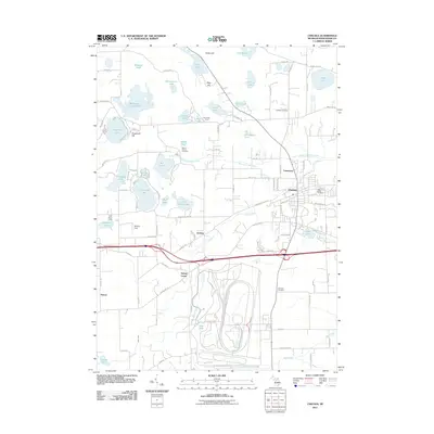 2011 Chelsea2011 Print · USGSChelsea and its surrounding lake country are captured here at the start of the 2010s. Local historians can trace established community sites like Sylvan Center, Vermont Cemetery, and the recreation grounds at Camp Ma-Hi-Ya.
 - 2011 Map of Manchester, 2011 Print
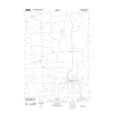 2011 Manchester2011 Print · USGSManchester and its surrounding rural townships are shown here in the early twenty-first century as the area maintains its agricultural roots. Genealogists and historians can trace family locations through Raymond Cemetery or explore the river-side legacy of Sharon Hollow and the River Raisin.
 - 2011 Map of Bridgewater, 2011 Print
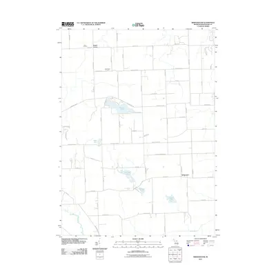 2011 Bridgewater2011 Print · USGSBridgewater and the surrounding townships in Washtenaw County show their deep agricultural roots and glacial lake geography in the early twenty-first century. Genealogists and local historians can locate early burial sites at Zion Cemetery and follow the paths of the River Raisin and Saline River.
 - 2011 Map of Dexter, 2011 Print
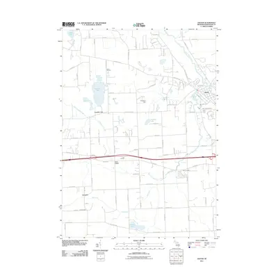 2011 Dexter2011 Print · USGSThe village of Dexter and the rolling fields of Washtenaw County are captured here at the start of the 2010s. Genealogists can trace family roots through several burial sites like Lima Cemetery and Parker Cemetery or locate old settlements at Jerusalem and Lima Center.
 - 2014 Map of Manchester, 2014 Print
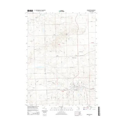 2014 Manchester2014 Print · USGSManchester and its surrounding townships are documented in the early twenty-first century as the River Raisin winds through the village center. Genealogists can locate numerous burial grounds across the rural landscape, including Sharon Township Cem and Oak Grove Cem.
 - 2014 Map of Chelsea, 2014 Print
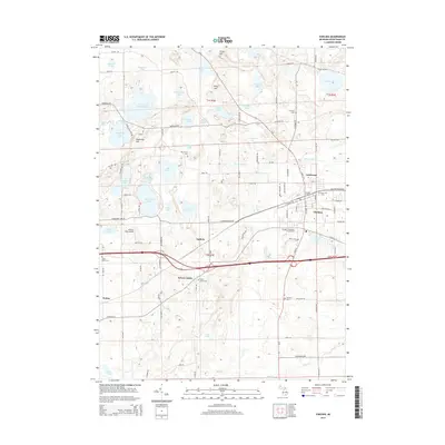 2014 Chelsea2014 Print · USGSChelsea and its surrounding townships in the mid-2010s reveal a landscape of dense glacial lakes and historic village centers. Researchers can trace the layout of Chelsea, identify family plots at Maple Grove Cem and Pierce Cem, or locate landmarks like the Chelsea Station.
 - 2014 Map of Bridgewater, 2014 Print
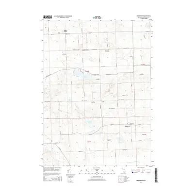 2014 Bridgewater2014 Print · USGSLodi Township and its surroundings are documented here in the early twenty-first century, showing a landscape defined by historic farmsteads and rural crossroads. Genealogists can trace family names and burial sites at Rogers Corners Addition Cem, Saint Francis' Catholic Cem, and Bridgewater.
 - 2014 Map of Dexter, 2014 Print
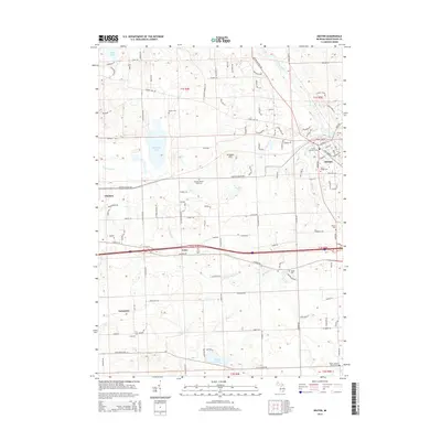 2014 Dexter2014 Print · USGSThe rural countryside between Dexter and Chelsea is shown here in the early twenty-first century, before further suburban expansion changed the local character. Genealogists can trace a remarkable number of local burial sites, from Forest Lawn Cem to the Salem Lutheran Church Cem.
 - 2017 Map of Chelsea, 2017 Print
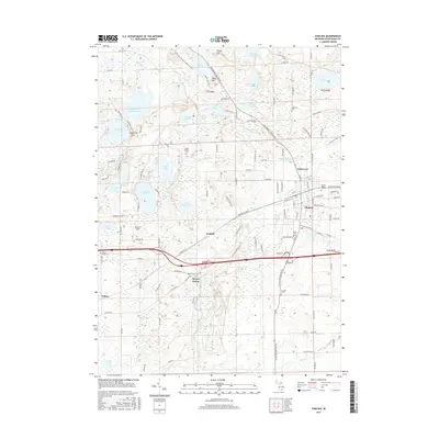 2017 Chelsea2017 Print · USGSWashtenaw County's lake-strewn landscape is captured here in the late twenty-tens, centered on the growing community of Chelsea. Genealogists can locate several smaller burial sites like Mount Olivet Cem and Vermont Cem near older hamlets like Sylvan Center.
 - 2017 Map of Dexter, 2017 Print
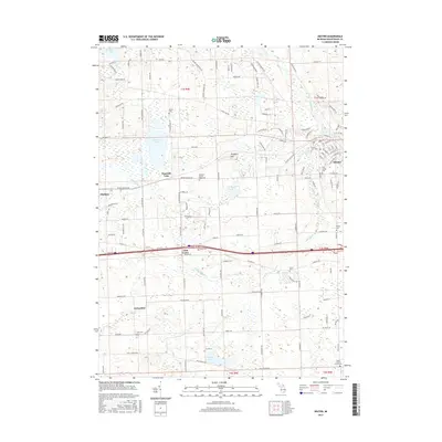 2017 Dexter2017 Print · USGSThe village of Dexter and the outskirts of Chelsea appear in this recent survey of Washtenaw County’s rolling lake country. Researchers can trace historic family lineages through numerous burial grounds like Forest Lawn Cem and the Chelsea-Dexter Road Cem while exploring the crossroads at Lima Center.
 - 2017 Map of Bridgewater, 2017 Print
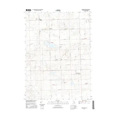 2017 Bridgewater2017 Print · USGSWashtenaw County's rural townships are documented here during the late 2010s, showing a landscape defined by historic churches and glacial lakes. Researchers can trace local genealogy through numerous sites like Saint John's Lutheran Cem or explore the shores of Pleasant Lake and Columbia Lake.
 - 2017 Map of Manchester, 2017 Print
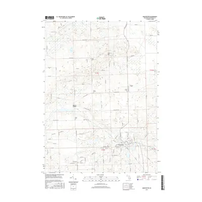 2017 Manchester2017 Print · USGSManchester and its surrounding townships are shown here in the 2010s, capturing a landscape defined by the winding River Raisin. Family historians can trace local roots through several landmarks like Sharon Hollow, Oak Grove Cem, and Sharon Township Cem.
 - 2019 Map of Bridgewater, 2019 Print
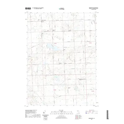 2019 Bridgewater2019 Print · USGSWashtenaw County near the end of the 2010s remains a landscape of sprawling farms, quiet lakes, and deep-rooted rural congregations. Genealogists can trace family footprints across numerous burial sites like Zion Lutheran Cem, Rogers Corners Addition Cem, and the Schneider Road Cem.
 - 2019 Map of Chelsea, 2019 Print
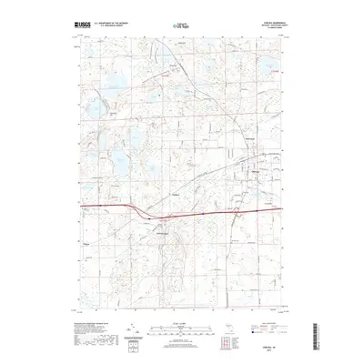 2019 Chelsea2019 Print · USGSWashtenaw County's glacial lakes and the growing village of Chelsea are documented here in the late twenty-tens. Researchers can trace family history at Maple Grove Cem or locate the site of Sylvan Center amidst the Waterloo-Pinckney Hiking Trail.
 - 2019 Map of Manchester, 2019 Print
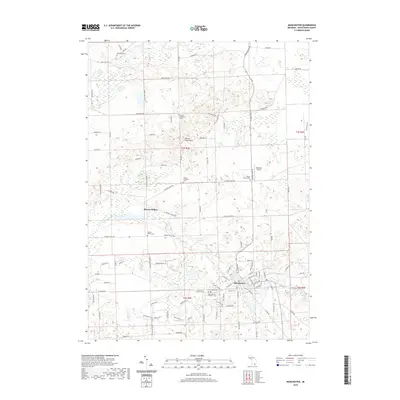 2019 Manchester2019 Print · USGSManchester Township and the village of Manchester are shown here in the late 2010s, where the River Raisin winds through the heart of the community. Researchers can trace numerous local burial sites like Sharon Township Cem and Oak Grove Cem alongside landmarks such as Sharon Hollow.
 - 2019 Map of Dexter, 2019 Print
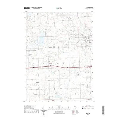 2019 Dexter2019 Print · USGSWashtenaw County's transition from rural townships to growing communities is visible in this recent study of the corridor between Chelsea and Dexter. Genealogists can locate numerous local burial grounds such as Lima Cem and Saint Joseph Cem, or trace the winding paths of Mill Creek and the Huron River.
End of results
Showing maps 1-16 of 16
Top cities near Freedom Township
- Ann Arbor historical maps
- Pittsfield Charter Township historical maps
- Hamburg Township historical maps
- Green Oak Charter Township historical maps
- Scio Township historical maps
- York Charter Township historical maps
See more
Top neighborhoods of Freedom Township
Frequently asked questions
- What are the different types of historical maps available for Freedom Township?
- What is the oldest map of Freedom Township?
- Where can I purchase historical maps of Freedom Township for my home or office?
- Where can I download high-res historical maps of Freedom Township?
- Are there historical topographic maps available for Freedom Township?
- Is there historical aerial imagery available for Freedom Township?
- Where are historical maps of Freedom Township sourced from?