2000s (21st Century) Maps of Freedom Township, Michigan
Explore 20 historic maps of Freedom Township from the 2000s (21st Century). These maps offer a rare glimpse into what life looked like during the 2000s — showing old roads, neighborhoods, homes, and landmarks that have changed or disappeared over time.
Whether you're researching your family's past, planning a metal detecting trip, or studying how Freedom Township's landscape evolved across the 2000s, these high-resolution maps are a powerful tool for exploring the history of this region.
- Focus on a specific era: All maps on this page are from the 2000s, giving you a focused view of this time period.
- See what’s changed: Compare century-old streets, trails, and buildings to today's modern landscape using overlays and satellite layers.
- Research with precision: Use these maps for genealogy, historical research, land use analysis, or educational projects.
- View, download, or print: Maps are fully viewable online in high resolution, and can be downloaded or printed for your own records.
Start exploring Freedom Township's history through authentic maps from the 2000s. This is your window into the past.
Freedom Township, MI maps
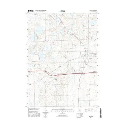
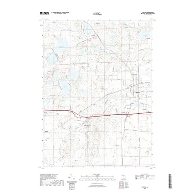
(20)- 2011 Map of Chelsea, 2011 Print
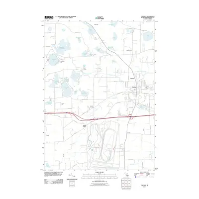 2011 Chelsea2011 Print · USGSCovers Freedom Township, including Dexter Township, Chelsea, and other nearby areas
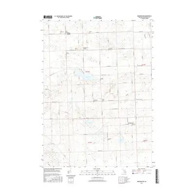
 - 2011 Map of Manchester, 2011 Print
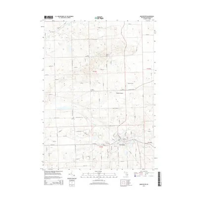
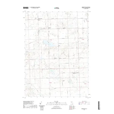
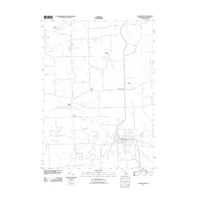 2011 Manchester2011 Print · USGSCovers Freedom Township, including Manchester Township, Sylvan Township, and other nearby areas
 - 2011 Map of Bridgewater, 2011 Print
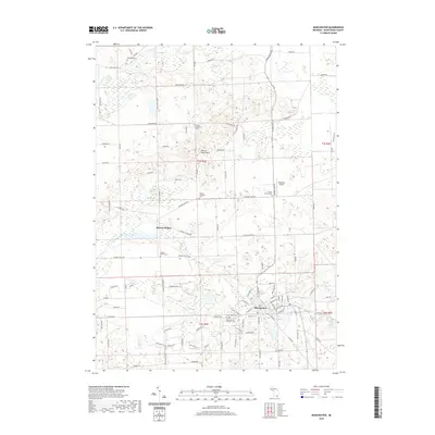
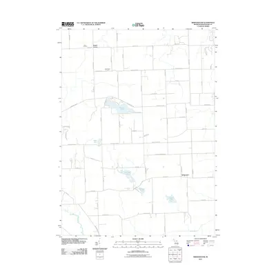 2011 Bridgewater2011 Print · USGSCovers Freedom Township, including Lodi Township, Saline Township, and other nearby areas
 - 2011 Map of Dexter, 2011 Print
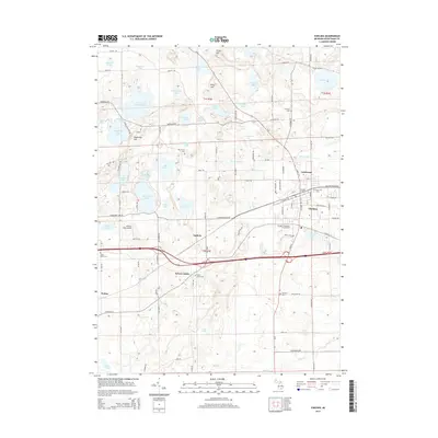
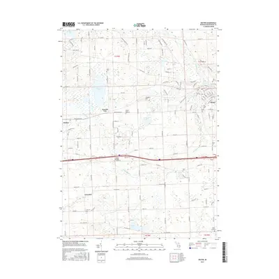
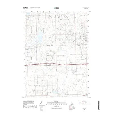
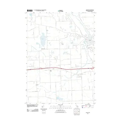 2011 Dexter2011 Print · USGSCovers Freedom Township, including Scio Township, Webster Township, and other nearby areas
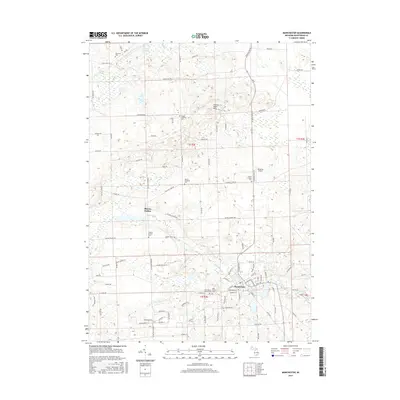
 - 2014 Map of Manchester, 2014 Print
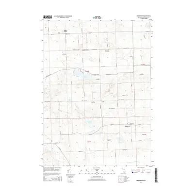
 2014 Manchester2014 Print · USGSCovers Freedom Township, including Manchester Township, Sylvan Township, and other nearby areas
 - 2014 Map of Chelsea, 2014 Print
 2014 Chelsea2014 Print · USGSCovers Freedom Township, including Dexter Township, Chelsea, and other nearby areas
 - 2014 Map of Bridgewater, 2014 Print
 2014 Bridgewater2014 Print · USGSCovers Freedom Township, including Lodi Township, Saline Township, and other nearby areas
 - 2014 Map of Dexter, 2014 Print
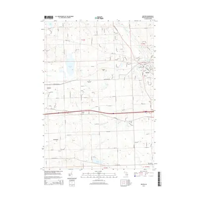 2014 Dexter2014 Print · USGSCovers Freedom Township, including Scio Township, Webster Township, and other nearby areas
 - 2017 Map of Chelsea, 2017 Print
 2017 Chelsea2017 Print · USGSCovers Freedom Township, including Dexter Township, Chelsea, and other nearby areas
 - 2017 Map of Dexter, 2017 Print
 2017 Dexter2017 Print · USGSCovers Freedom Township, including Scio Township, Webster Township, and other nearby areas
 - 2017 Map of Bridgewater, 2017 Print
 2017 Bridgewater2017 Print · USGSCovers Freedom Township, including Lodi Township, Saline Township, and other nearby areas
 - 2017 Map of Manchester, 2017 Print
 2017 Manchester2017 Print · USGSCovers Freedom Township, including Manchester Township, Sylvan Township, and other nearby areas
 - 2019 Map of Bridgewater, 2019 Print
 2019 Bridgewater2019 Print · USGSCovers Freedom Township, including Lodi Township, Saline Township, and other nearby areas
 - 2019 Map of Chelsea, 2019 Print
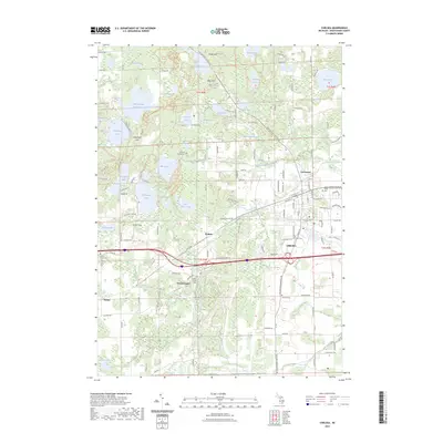
 2019 Chelsea2019 Print · USGSCovers Freedom Township, including Dexter Township, Chelsea, and other nearby areas
 - 2019 Map of Manchester, 2019 Print
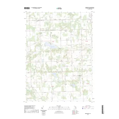
 2019 Manchester2019 Print · USGSCovers Freedom Township, including Manchester Township, Sylvan Township, and other nearby areas
 - 2019 Map of Dexter, 2019 Print
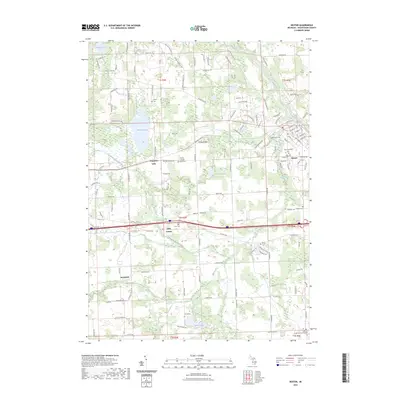
 2019 Dexter2019 Print · USGSCovers Freedom Township, including Scio Township, Webster Township, and other nearby areas
 - 2023 Map of Manchester, 2023 Print
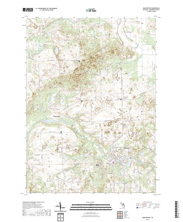 2023 Manchester2023 Print · USGSManchester and the Sharon Hollow area are shown in this modern survey during a period of sustained rural character in Washtenaw County. Researchers can trace family history through local landmarks like Sharon Hollow Cem, Oak Grove Cem, and the Sharon Township Cem.
 - 2023 Map of Bridgewater, 2023 Print
 2023 Bridgewater2023 Print · USGSThe rural townships of Washtenaw County come into focus in this contemporary survey of a landscape rooted in agricultural and faith-based settlement. Genealogists and local historians can trace family ties at Saint John's Lutheran Cem, Mount Hope Cem, and the old crossroads at Rogers Corner.
 - 2023 Map of Chelsea, 2023 Print
 2023 Chelsea2023 Print · USGSWashtenaw County near the Waterloo state lands comes into focus in this recent survey. Genealogists and local historians can locate several burial grounds including Maple Grove Cem and Vermont Cem, alongside settlements like Sylvan Center and Chelsea.
 - 2023 Map of Dexter, 2023 Print
 2023 Dexter2023 Print · USGSThe village of Dexter and its surrounding townships are shown here in the 2020s, highlighting the intersection of the Huron River and Mill Creek. Researchers can trace family history through numerous local sites including Lima Cemetery, Phelps Cemetery, and the settlement at Jerusalem.
End of results
Showing maps 1-20 of 20
Top cities near Freedom Township
- Ann Arbor historical maps
- Pittsfield Charter Township historical maps
- Hamburg Township historical maps
- Green Oak Charter Township historical maps
- Scio Township historical maps
- York Charter Township historical maps
See more
Top neighborhoods of Freedom Township
Frequently asked questions
- What are the different types of historical maps available for Freedom Township?
- What is the oldest map of Freedom Township?
- Where can I purchase historical maps of Freedom Township for my home or office?
- Where can I download high-res historical maps of Freedom Township?
- Are there historical topographic maps available for Freedom Township?
- Is there historical aerial imagery available for Freedom Township?
- Where are historical maps of Freedom Township sourced from?