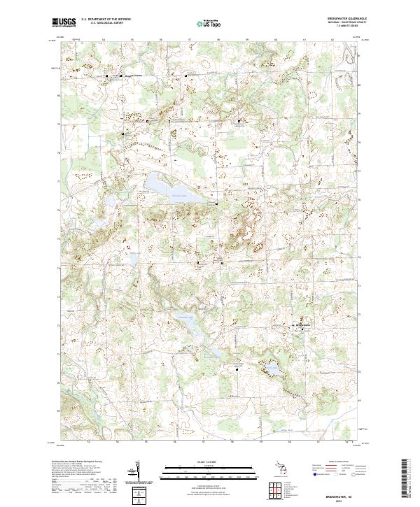
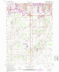
2023 Map of Bridgewater
USGS Topo · Published 2023About this map
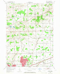
Bridgewater and Rogers Corner anchor this rural Washtenaw County landscape, where the pattern of settlement is defined by a high density of nineteenth-century churches and township burial grounds. The map reveals the ecclesiastical history of the region through numerous sites such as Saint Thomas' Lutheran Cem and Saint Francis' Catholic Cem, suggesting a community closely tied to its local parishes and family plots.
Find a feature on this map
78 named features on this map. Tap any name to fly to it.
Don’t see what you’re looking for? This feature index may not catch every label — zoom into the map to look around manually.
Map Details
Editions of this 2023 Bridgewater Map
This is the sole edition of this map. No revisions or reprints were ever made.
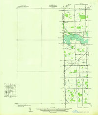
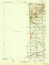
Historical Maps of Freedom Township Through Time
19 maps found
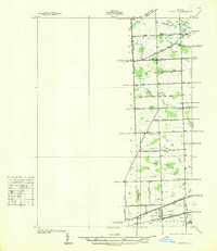
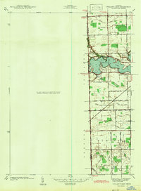
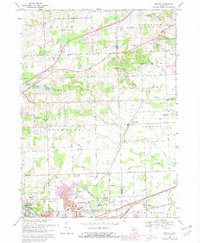
1936 Denton
Washtenaw County, MI
1936 Ypsilanti East
Washtenaw County, MI
1942 Denton
Washtenaw County, MI
1942 Ypsilanti East
Washtenaw County, MI
1953 Denton
Washtenaw County, MI
1953 Ypsilanti East
Washtenaw County, MI
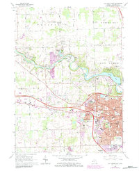
1965 Ann Arbor East
Washtenaw County, MI
1965 Ann Arbor West
Washtenaw County, MI
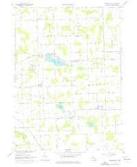
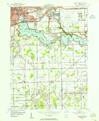
1967 Bridgewater
Washtenaw County, MI
1967 Ypsilanti East
Washtenaw County, MI
1967 Ypsilanti West
Washtenaw County, MI
1969 Denton
Washtenaw County, MI
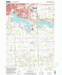
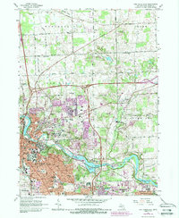
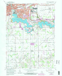
1996 Ypsilanti East
Washtenaw County, MI
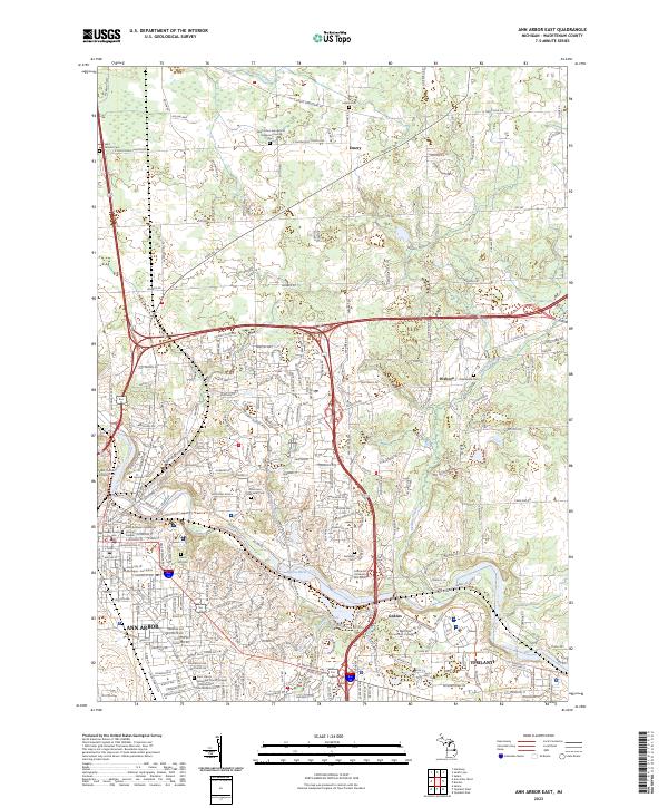
2023 Ann Arbor East
Washtenaw County, MI
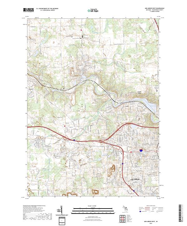
2023 Ann Arbor West
Washtenaw County, MI
2023 Bridgewater
Washtenaw County, MI
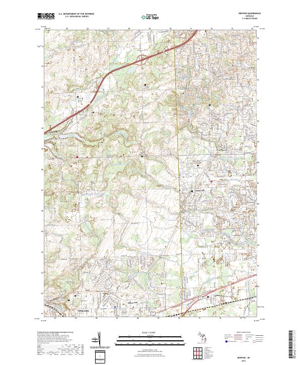
2023 Denton
Washtenaw County, MI
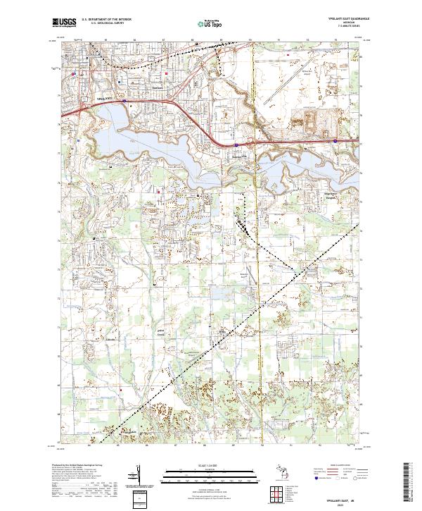
2023 Ypsilanti East
Washtenaw County, MI
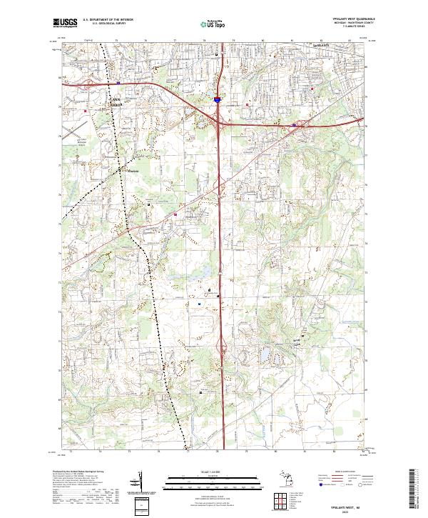
2023 Ypsilanti West
Washtenaw County, MI
Featured Locations
- Saline Township, MI
- Bridgewater Township, MI
- Freedom Township, MI
- Lodi Township, MI
- Bridgewater, Bridgewater Township