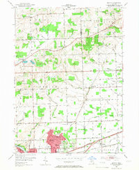
1953 Map of Denton
USGS Topo · Published 1966About this map
Willow Run and its surrounding industrial and residential landscape define the southern portion of this mid-century survey along the Washtenaw and Wayne county line. The area shows a transition from the structured residential clusters of Bazley and Denton to the rural schoolhouses and cemeteries that dot the northern townships of Salem and Plymouth. Educational life is well-documented through numerous local institutions like the Superior-Salem Sch and Free Church Sch, reflecting a time when small, localized school districts served these growing communities.
Find a feature on this map
64 named features on this map. Tap any name to fly to it.
Don’t see what you’re looking for? This feature index may not catch every label — zoom into the map to look around manually.
Map Details
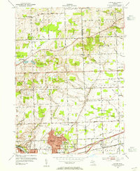
Editions of this 1953 Denton Map
2 editions found
Other maps of this area

1902 · South Lyon
USGS Topo · 1:62,500

1902 · Ypsilanti
USGS Topo · 1:62,500

1904 · Ann Arbor
USGS Topo · 1:125,000

1905 · Wayne
USGS Topo · 1:62,500

1906 · Ypsilanti
USGS Topo · 1:62,500

1906 · South Lyon
USGS Topo · 1:62,500

1906 · Romulus
USGS Topo · 1:62,500

1908 · Ann Arbor
USGS Topo · 1:125,000

1912 · Wayne
USGS Topo · 1:62,500

1928 · Romulus
USGS Topo · 1:62,500
Featured Places
- Canton Township, MI
- Ypsilanti Charter Township, MI
- Van Buren Charter Township, MI
- Plymouth Charter Township, MI
- Ypsilanti, MI