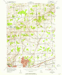
1953 Map of Denton
USGS Topo · Published 1955About this map
Willow Run and the eastern edge of Ypsilanti dominate the southwestern corner of this survey, showing the post-war industrial and residential expansion in eastern Washtenaw County. The landscape is a mix of developing housing tracts and traditional rural infrastructure, characterized by an exceptionally dense network of one-room schoolhouses such as South Salem Stone Sch, Superior-Salem Sch, and Crippen Sch.
Find a feature on this map
62 named features on this map. Tap any name to fly to it.
Don’t see what you’re looking for? This feature index may not catch every label — zoom into the map to look around manually.
Map Details
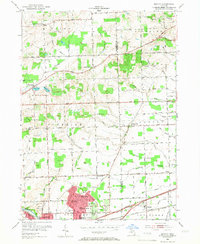
Editions of this 1953 Denton Map
2 editions found
Other maps of this area

1902 · South Lyon
USGS Topo · 1:62,500

1902 · Ypsilanti
USGS Topo · 1:62,500

1904 · Ann Arbor
USGS Topo · 1:125,000

1905 · Wayne
USGS Topo · 1:62,500

1906 · Ypsilanti
USGS Topo · 1:62,500

1906 · South Lyon
USGS Topo · 1:62,500

1906 · Romulus
USGS Topo · 1:62,500

1908 · Ann Arbor
USGS Topo · 1:125,000

1912 · Wayne
USGS Topo · 1:62,500

1928 · Romulus
USGS Topo · 1:62,500
Featured Places
- Canton Township, MI
- Ypsilanti Charter Township, MI
- Van Buren Charter Township, MI
- Plymouth Charter Township, MI
- Ypsilanti, MI