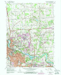
1965 Map of Ann Arbor East
USGS Topo · Published 1989About this map
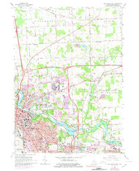
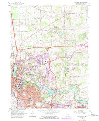
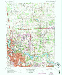
The Huron River winds through this 1960s landscape, anchoring a corridor of academic and public institutions including the University of Michigan and Eastern Michigan University. The map documents the rapid suburban eastward expansion of Ann Arbor toward Dixboro and Geddes, showing new residential developments and the established University of Michigan North Campus. Beyond the urban core, the terrain is defined by glacial features including numerous Gravel Pits and the rolling grounds of the Matthaei Botanical Gardens. Long-standing local landmarks like Forest Hill Cemetery and St Johns Ch provide important points of reference for genealogists. The transportation network is in a state of transition, with the Conrail and Ann Arbor RR lines serving the river valley while the modern footprint of U S 23 begins to reshape the township boundaries.
Find a feature on this map
87 named features on this map. Tap any name to fly to it.
Don’t see what you’re looking for? This feature index may not catch every label — zoom into the map to look around manually.
Map Details
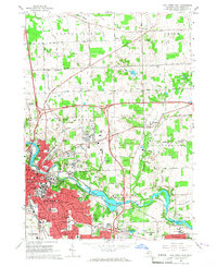
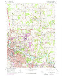
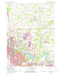
Editions of this 1965 Ann Arbor East Map
7 editions found
Other maps of this area

1902 · South Lyon
USGS Topo · 1:62,500

1902 · Ypsilanti
USGS Topo · 1:62,500

1902 · Dexter
USGS Topo · 1:62,500

1904 · Ann Arbor
USGS Topo · 1:125,000

1906 · Ypsilanti
USGS Topo · 1:62,500

1906 · Dexter
USGS Topo · 1:62,500

1906 · Saline
USGS Topo · 1:62,500

1906 · South Lyon
USGS Topo · 1:62,500

1908 · Ann Arbor
USGS Topo · 1:125,000
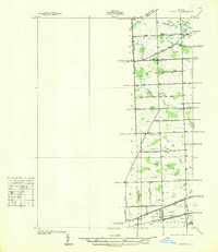
1936 · Denton
USGS Topo · 1:31,680
Featured Places
- Ann Arbor, MI
- Ypsilanti Charter Township, MI
- Pittsfield Charter Township, MI
- Ypsilanti, MI
- Superior Charter Township, MI