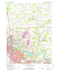
1965 Map of Ann Arbor East
USGS Topo · Published 1978About this map
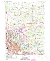
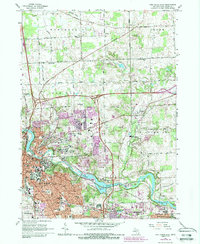
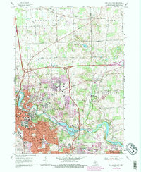
The Huron River corridor anchors this mid-century survey of the rapidly expanding eastern flank of Ann Arbor. The expansion of the University of Michigan onto its North Campus is clearly visible, showing a landscape in transition from the established city center toward the burgeoning suburbs of Pittsfield Twp and Superior. The river valley itself is a focal point of institutional and recreational land use, featuring the VA Hospital, Nichols Arboretum, and the U of M Botanical Gardens.
Find a feature on this map
88 named features on this map. Tap any name to fly to it.
Don’t see what you’re looking for? This feature index may not catch every label — zoom into the map to look around manually.
Map Details
Editions of this 1965 Ann Arbor East Map
7 editions found
Other maps of this area

1902 · South Lyon
USGS Topo · 1:62,500

1902 · Ypsilanti
USGS Topo · 1:62,500

1902 · Dexter
USGS Topo · 1:62,500

1904 · Ann Arbor
USGS Topo · 1:125,000

1906 · Ypsilanti
USGS Topo · 1:62,500

1906 · Dexter
USGS Topo · 1:62,500

1906 · Saline
USGS Topo · 1:62,500

1906 · South Lyon
USGS Topo · 1:62,500

1908 · Ann Arbor
USGS Topo · 1:125,000
1936 · Denton
USGS Topo · 1:31,680
Featured Places
- Ann Arbor, MI
- Ypsilanti Charter Township, MI
- Pittsfield Charter Township, MI
- Ypsilanti, MI
- Superior Charter Township, MI