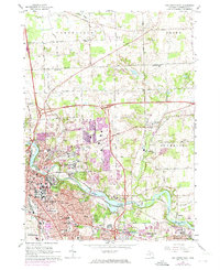
1965 Map of Ann Arbor East
USGS Topo · Published 1974About this map
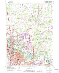
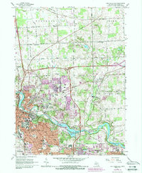
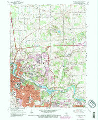
The Huron River and the Penn Central rail line anchor this mid-1960s view of Washtenaw County, documenting the eastward expansion of Ann Arbor toward Dixboro and Superior. The transition from the dense urban core near University of Michigan to the more rural townships of Northfield and Salem is visible through the evolving road network and institutional growth. The purple revisions on this sheet highlight the rapid development occurring in the early 1970s, particularly around the University of Michigan (North Campus) and the residential expansion in Pittsfield.
Find a feature on this map
76 named features on this map. Tap any name to fly to it.
Don’t see what you’re looking for? This feature index may not catch every label — zoom into the map to look around manually.
Map Details
Editions of this 1965 Ann Arbor East Map
7 editions found
Other maps of this area

1902 · South Lyon
USGS Topo · 1:62,500

1902 · Ypsilanti
USGS Topo · 1:62,500

1902 · Dexter
USGS Topo · 1:62,500

1904 · Ann Arbor
USGS Topo · 1:125,000

1906 · Ypsilanti
USGS Topo · 1:62,500

1906 · Dexter
USGS Topo · 1:62,500

1906 · Saline
USGS Topo · 1:62,500

1906 · South Lyon
USGS Topo · 1:62,500

1908 · Ann Arbor
USGS Topo · 1:125,000
1936 · Denton
USGS Topo · 1:31,680
Featured Places
- Ann Arbor, MI
- Ypsilanti Charter Township, MI
- Pittsfield Charter Township, MI
- Ypsilanti, MI
- Superior Charter Township, MI