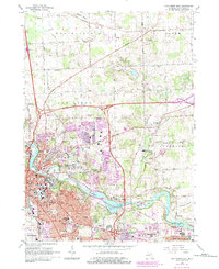
1965 Map of Ann Arbor East
USGS Topo · Published 1984About this map
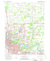
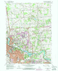
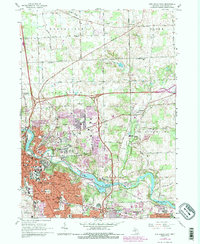
The University of Michigan and its expansive North Campus dominate this landscape, illustrating the mid-century academic growth of the region. The Huron River winds through the center of the sheet, bordered by a series of recreation sites including Nichols Arboretum and Gallup Park. Cultural and educational institutions are densely packed, from the VA Hospital to Concordia College, while the outlying areas show the transition from rural townships like Northfield and Salem to suburban expansion. Significant historical sites such as Forest Hill Cemetery and Fairview Cemetery provide valuable touchpoints for genealogists. To the east, the rural character is preserved around the village of Dixboro and the Matthaei Botanical Gardens, offering a stark contrast to the busy corridors surrounding the U of M Stadium and the Conrail line.
Find a feature on this map
79 named features on this map. Tap any name to fly to it.
Don’t see what you’re looking for? This feature index may not catch every label — zoom into the map to look around manually.
Map Details
Editions of this 1965 Ann Arbor East Map
7 editions found
Other maps of this area

1902 · South Lyon
USGS Topo · 1:62,500

1902 · Ypsilanti
USGS Topo · 1:62,500

1902 · Dexter
USGS Topo · 1:62,500

1904 · Ann Arbor
USGS Topo · 1:125,000

1906 · Ypsilanti
USGS Topo · 1:62,500

1906 · Dexter
USGS Topo · 1:62,500

1906 · Saline
USGS Topo · 1:62,500

1906 · South Lyon
USGS Topo · 1:62,500

1908 · Ann Arbor
USGS Topo · 1:125,000
1936 · Denton
USGS Topo · 1:31,680
Featured Places
- Ann Arbor, MI
- Ypsilanti Charter Township, MI
- Pittsfield Charter Township, MI
- Ypsilanti, MI
- Superior Charter Township, MI