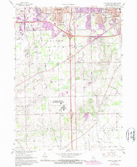
1967 Map of Ypsilanti West
USGS Topo · Published 1989About this map
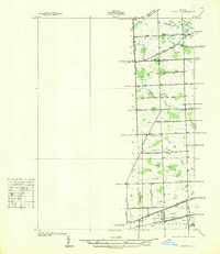
Institutional and aeronautic development dominates this landscape between Ann Arbor and Ypsilanti during the mid-1960s. The sprawling campus of the Ypsilanti Regional Psychiatric Hospital occupies a significant portion of the central terrain, complete with its own sewage disposal facilities and a dedicated water tower. Transportation networks are well-established, anchored by the Ann Arbor Municipal Airport in the northwest and the smaller McEnnan Airport to the east, while the Ann Arbor RR cuts a diagonal path through the township of Pittsfield.
Find a feature on this map
51 named features on this map. Tap any name to fly to it.
Don’t see what you’re looking for? This feature index may not catch every label — zoom into the map to look around manually.
Map Details
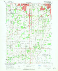
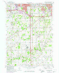
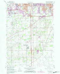
Editions of this 1967 Ypsilanti West Map
4 editions found
Other maps of this area

1902 · South Lyon
USGS Topo · 1:62,500

1902 · Ypsilanti
USGS Topo · 1:62,500

1902 · Dexter
USGS Topo · 1:62,500

1904 · Ann Arbor
USGS Topo · 1:125,000

1906 · Ypsilanti
USGS Topo · 1:62,500

1906 · Dexter
USGS Topo · 1:62,500

1906 · Saline
USGS Topo · 1:62,500

1906 · South Lyon
USGS Topo · 1:62,500

1908 · Ann Arbor
USGS Topo · 1:125,000
1936 · Denton
USGS Topo · 1:31,680
Featured Places
- Ann Arbor, MI
- Ypsilanti Charter Township, MI
- Pittsfield Charter Township, MI
- Ypsilanti, MI
- York Charter Township, MI