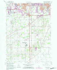
1967 Map of Ypsilanti West
USGS Topo · Published 1984About this map
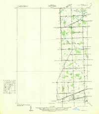
The Ypsilanti Regional Psychiatric Hospital occupies a significant portion of the landscape south of the city, illustrating the mid-century institutional development of Washtenaw County. The map documents a period of rapid suburban transition, where the expanding Ann Arbor boundary and the growth of Ypsilanti push into the rural townships of Pittsfield and York. This shift is visible in the mix of traditional landmarks like the York Cem and a dense network of local schools, including Mitchell Sch and Meadowview Sch, alongside modern infrastructure like the Ann Arbor Municipal Airport.
Find a feature on this map
60 named features on this map. Tap any name to fly to it.
Don’t see what you’re looking for? This feature index may not catch every label — zoom into the map to look around manually.
Map Details
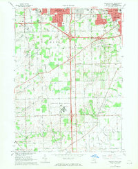
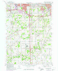
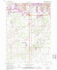
Editions of this 1967 Ypsilanti West Map
4 editions found
Other maps of this area

1902 · South Lyon
USGS Topo · 1:62,500

1902 · Ypsilanti
USGS Topo · 1:62,500

1902 · Dexter
USGS Topo · 1:62,500

1904 · Ann Arbor
USGS Topo · 1:125,000

1906 · Ypsilanti
USGS Topo · 1:62,500

1906 · Dexter
USGS Topo · 1:62,500

1906 · Saline
USGS Topo · 1:62,500

1906 · South Lyon
USGS Topo · 1:62,500

1908 · Ann Arbor
USGS Topo · 1:125,000
1936 · Denton
USGS Topo · 1:31,680
Featured Places
- Ann Arbor, MI
- Ypsilanti Charter Township, MI
- Pittsfield Charter Township, MI
- Ypsilanti, MI
- York Charter Township, MI