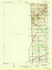
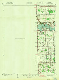
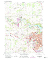
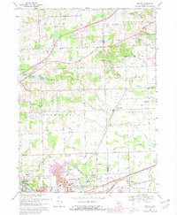
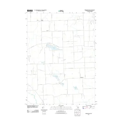
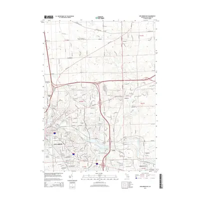
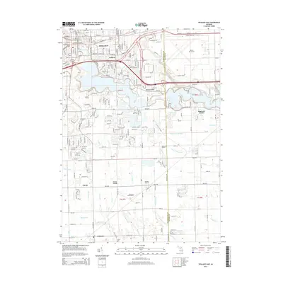
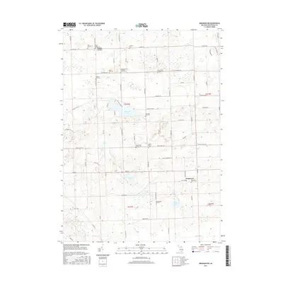
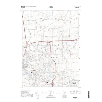
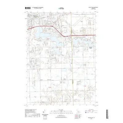
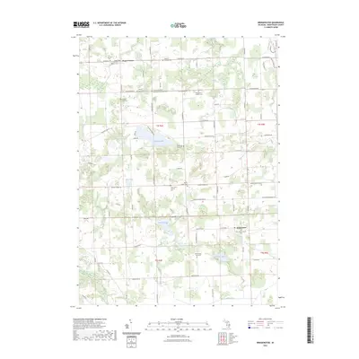
1942 Map of Denton
USGS Topo · Published 1942About this map
Denton stands at the southern end of this survey, situated where Michigan Avenue crosses the rail lines. The landscape of the early 1940s reveals a transition from the agricultural heartland of Superior and Canton townships toward the developing residential and recreational outskirts of Plymouth. Educational and community life is anchored by rural landmarks such as Kinyon Sch, Hanford Sch, and the Kinyon Cem, which are linked by an extensive network of early roads including Ann Arbor Trail and Joy Rd.
Find a feature on this map
51 named features on this map. Tap any name to fly to it.
Don’t see what you’re looking for? This feature index may not catch every label — zoom into the map to look around manually.
Map Details
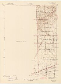
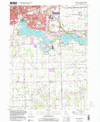
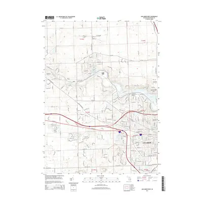
Editions of this 1942 Denton Map
2 editions found
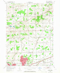
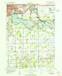
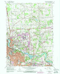
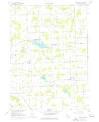
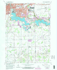
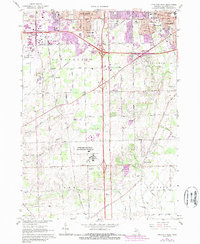
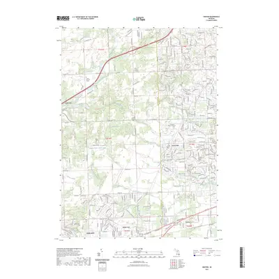
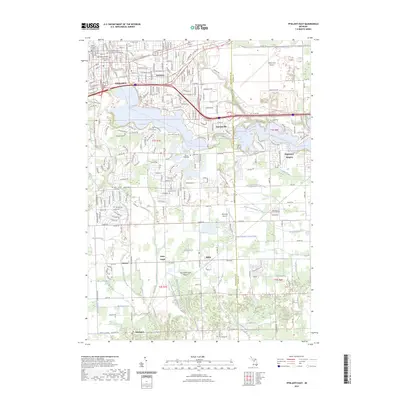
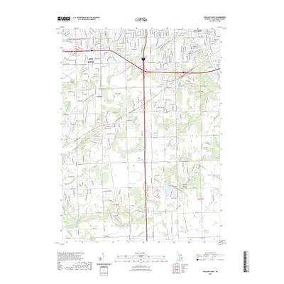
Historical Maps of Canton Township Through Time
43 maps found
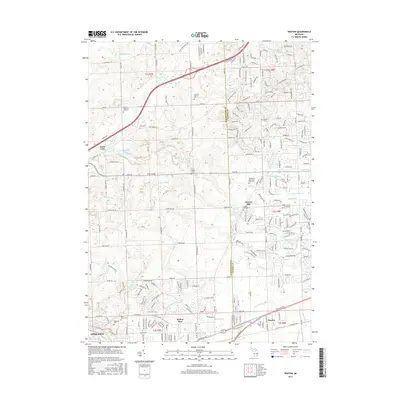
1936 Denton
Washtenaw County, MI
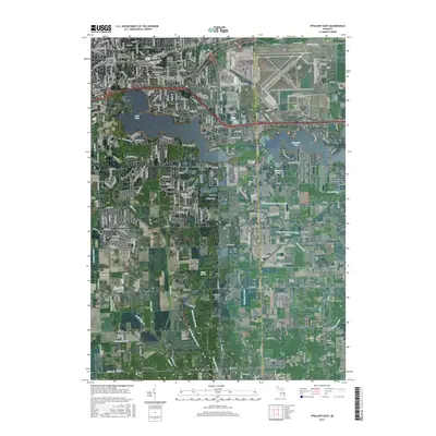
1936 Ypsilanti East
Washtenaw County, MI
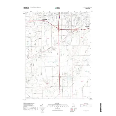
1942 Denton
Washtenaw County, MI
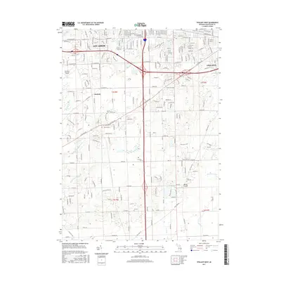
1942 Ypsilanti East
Washtenaw County, MI
1953 Denton
Washtenaw County, MI
1953 Ypsilanti East
Washtenaw County, MI
1965 Ann Arbor East
Washtenaw County, MI
1965 Ann Arbor West
Washtenaw County, MI
1967 Bridgewater
Washtenaw County, MI
1967 Ypsilanti East
Washtenaw County, MI
1967 Ypsilanti West
Washtenaw County, MI
1969 Denton
Washtenaw County, MI
1996 Ypsilanti East
Washtenaw County, MI
2011 Ann Arbor East
Washtenaw County, MI
2011 Ann Arbor West
Washtenaw County, MI
2011 Bridgewater
Washtenaw County, MI
2011 Denton
Washtenaw County, MI
2011 Ypsilanti East
Washtenaw County, MI
2011 Ypsilanti West
Washtenaw County, MI
2014 Ann Arbor East
Washtenaw County, MI
2014 Ann Arbor West
Washtenaw County, MI
2014 Bridgewater
Washtenaw County, MI
2014 Denton
Washtenaw County, MI
2014 Ypsilanti East
Washtenaw County, MI
2014 Ypsilanti West
Washtenaw County, MI
2017 Ann Arbor East
Washtenaw County, MI
2017 Ann Arbor West
Washtenaw County, MI
2017 Bridgewater
Washtenaw County, MI
2017 Denton
Washtenaw County, MI
2017 Ypsilanti East
Washtenaw County, MI
2017 Ypsilanti West
Washtenaw County, MI
2019 Ann Arbor East
Washtenaw County, MI
2019 Ann Arbor West
Washtenaw County, MI
2019 Bridgewater
Washtenaw County, MI
2019 Denton
Washtenaw County, MI
2019 Ypsilanti East
Washtenaw County, MI
2019 Ypsilanti West
Washtenaw County, MI
2023 Ann Arbor East
Washtenaw County, MI
2023 Ann Arbor West
Washtenaw County, MI
2023 Bridgewater
Washtenaw County, MI
2023 Denton
Washtenaw County, MI
2023 Ypsilanti East
Washtenaw County, MI
2023 Ypsilanti West
Washtenaw County, MI
Featured Locations
- Canton Township, MI
- Van Buren Charter Township, MI
- Plymouth Charter Township, MI
- Ypsilanti, MI
- Ypsilanti Charter Township, MI