Old Maps of Aitkin, Minnesota for Metal Detecting
Plan your next treasure hunt with 11 historic maps of Aitkin. Find old homesites, ghost towns, trails, and gathering spots that may be lost to time — perfect for identifying promising metal detecting locations.
- Locate forgotten sites: Uncover places like long-lost settlements, abandoned rail lines, or gathering spots.
- Plan better hunts: Use map overlays combined with LiDAR or satellite views to narrow in on historically rich areas.
- Made for detectorists: Thousands of hobbyists use these maps to discover relics, coins, and hidden history.
Use these historic maps to boost your research and find new opportunities beneath the surface of Aitkin.
Aitkin, MN maps
(11)- 1914 Map of Aitkin, 1966 Print
 1914 Aitkin1966 Print · USGSAitkin and the surrounding wetlands are shown here just before the First World War, as the river-and-rail economy shaped the landscape. Genealogists can locate numerous rural schoolhouses and early settlements like Rossburg, Hassman, and the Lone Pine School.
 - 1915 Map of Aitkin
 1915 Aitkin1915 Print · USGSAitkin County in the mid-1910s was a hub of river transport and rail expansion, centered on the growing village of Aitkin. You can trace the path of the Northern Pacific railroad through Rossburg and find rural landmarks like Lone Pine School and Waukenabo Lake.4 unique versions available
 - 1953 Map of Duluth, 1964 Print
 1953 Duluth1964 Print · USGSNortheastern Minnesota and northwestern Wisconsin are shown here during a period of industrial maturity and expanding conservation. Genealogists and historians can trace rail-connected towns like McGrath and Wahkon, or locate heritage sites within the Fond du Lac Indian Reservation.2 unique versions available
 - 1958 Map of Duluth
 1958 Duluth1958 Print · USGSNortheastern Minnesota and the Wisconsin borderlands are shown in detail during the late 1950s, centered on the bustling rail yards and ports of Duluth. You can trace the historic routes of the Soo Line and Duluth Missabe & Iron Range through small towns like McGrath, Bruno, and Wrenshall.
 - 1973 Map of Aitkin, 1975 Print
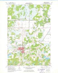 1973 Aitkin1975 Print · USGSAitkin and its surrounding riverbanks are captured here in the early 1970s, showing a landscape defined by the winding Mississippi River. Researchers can trace local history through sites like the Burlington Soo Northern Line, Evergreen Cem, and the Aitkin Municipal Airport.
 - 1994 Map of Aitkin
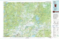 1994 Aitkin1994 Print · USGSIn the mid-1990s, the lake country of central Minnesota remained a patchwork of state forests and rail-linked settlements. Researchers can trace the legacy of the Soo Line through towns like McGregor and Aitkin, or explore the vast reaches of the Savanna State Forest and Rice Lake.
 - 2010 Map of Aitkin, 2010 Print
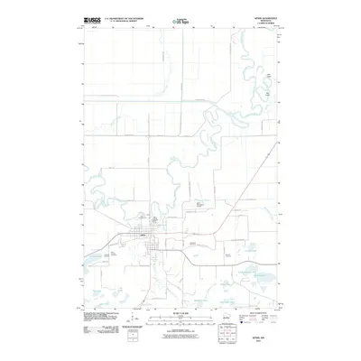 2010 Aitkin2010 Print · USGSIn the lakes country of central Minnesota during the early 21st century, Aitkin sits at the convergence of the Mississippi River and Ripple River. Researchers can trace local heritage through landmarks like the Aitkin County Fairgrounds and several burial sites including Evergreen Cemetery.
 - 2013 Map of Aitkin, 2013 Print
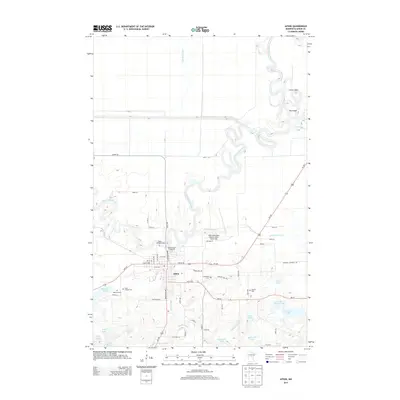 2013 Aitkin2013 Print · USGSAitkin and the surrounding river country are captured here in the early twenty-first century, showing the town at the junction of the Mississippi River and Ripple River. Genealogists and local historians can locate several family and community burial sites like Evergreen Cem and Saint Thomas Cem.
 - 2016 Map of Aitkin, 2016 Print
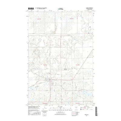 2016 Aitkin2016 Print · USGSIn the mid-2010s, Aitkin remains a river-defined community at the junction of the Mississippi River and Ripple River. Genealogists and local historians can trace family locations through rural landmarks like Saint Thomas Cem and Evergreen Cem amidst the area's numerous lakes and creeks.
 - 2019 Map of Aitkin, 2019 Print
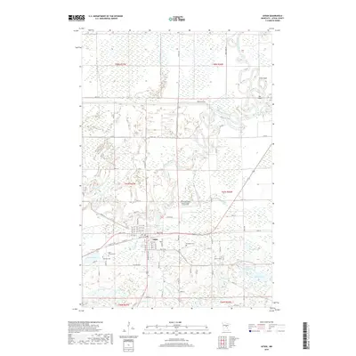 2019 Aitkin2019 Print · USGSAitkin is shown at a modern crossroads where the winding Mississippi meets the local rail and road networks. Genealogists and researchers can locate several community burial grounds including Evergreen Cem and Saint Thomas Cem near the Ripple River.
 - 2022 Map of Aitkin, 2022 Print
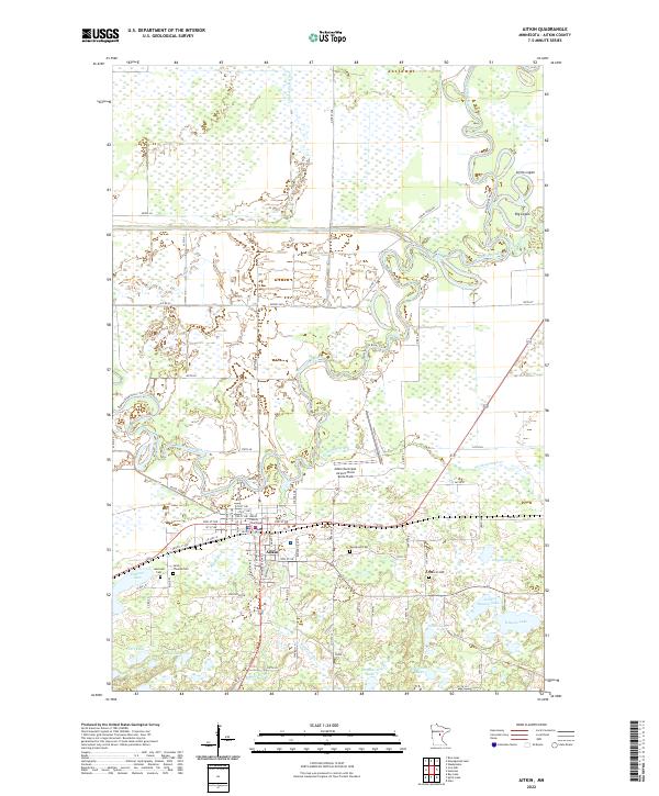 2022 Aitkin2022 Print · USGSAitkin sits at a historic river junction in the early 2020s, where the Mississippi and Ripple Rivers define the local geography. Genealogists and researchers can locate Evergreen Cem, the Aitkin County Courthouse, and the Cuyuna Lakes State Trl passing through town.
End of results
Showing maps 1-11 of 11
Top cities near Aitkin
- Emily historical maps
- Bay Lake historical maps
- Deerwood historical maps
- Glen historical maps
- Waukenabo historical maps
- Malmo historical maps
See more
Frequently asked questions
- What are the different types of historical maps available for Aitkin?
- What is the oldest map of Aitkin?
- Where can I purchase historical maps of Aitkin for my home or office?
- Where can I download high-res historical maps of Aitkin?
- Are there historical topographic maps available for Aitkin?
- Is there historical aerial imagery available for Aitkin?
- Where are historical maps of Aitkin sourced from?