Old Maps of Pine Knoll, Minnesota for Academic Research
Study the evolution of Pine Knoll with 11 high-resolution historic maps. Whether you're teaching, researching, or modeling changes in land use, these maps provide essential visual documentation of urban, environmental, and geographic change.
- Analyze long-term change: Track patterns in development, transportation, and natural features.
- Ideal for environmental or urban studies: Support academic projects with primary historical map data.
- Use in the classroom or lab: Educators and researchers rely on these maps to bring historical context to life.
These maps are a powerful tool for teaching, research, and visualizing how Pine Knoll has changed over the decades.
Pine Knoll, MN maps
(11)- 1913 Map of Cuyuna, 1963 Print
 1913 Cuyuna1963 Print · USGSBefore the height of northern Minnesota's iron boom, this area centered on the nascent village of Cuyuna and the logging town of Emily. Genealogists and researchers can trace the early township school system through sites like Mud Brook School and Keeler School, or follow the competing routes of the Northern Pacific and Minneapolis St Paul and Sault Ste Marie railroads.2 unique versions available
 - 1915 Map of Cuyuna
 1915 Cuyuna1915 Print · USGSCrow Wing and Aitkin counties are captured here just before the First World War, as railroads and mining began to transform the lake-heavy landscape. Genealogists can locate many numbered district schools and settlements like Emily, Manganese, and Dean Lake.3 unique versions available
 - 1953 Map of Duluth, 1964 Print
 1953 Duluth1964 Print · USGSNortheastern Minnesota and northwestern Wisconsin are shown here during a period of industrial maturity and expanding conservation. Genealogists and historians can trace rail-connected towns like McGrath and Wahkon, or locate heritage sites within the Fond du Lac Indian Reservation.2 unique versions available
 - 1958 Map of Duluth
 1958 Duluth1958 Print · USGSNortheastern Minnesota and the Wisconsin borderlands are shown in detail during the late 1950s, centered on the bustling rail yards and ports of Duluth. You can trace the historic routes of the Soo Line and Duluth Missabe & Iron Range through small towns like McGrath, Bruno, and Wrenshall.
 - 1973 Map of Iron Hub, 1975 Print
 1973 Iron Hub1975 Print · USGSCrow Wing and Aitkin counties at the start of the 1970s reveal a landscape defined by industrial rail lines and intricate river systems. Genealogists and local historians can trace the foundations of Iron Hub and locate specific sites like St Johns Ch or Immanuel Cem.
 - 1994 Map of Aitkin
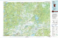 1994 Aitkin1994 Print · USGSIn the mid-1990s, the lake country of central Minnesota remained a patchwork of state forests and rail-linked settlements. Researchers can trace the legacy of the Soo Line through towns like McGregor and Aitkin, or explore the vast reaches of the Savanna State Forest and Rice Lake.
 - 2010 Map of Iron Hub, 2010 Print
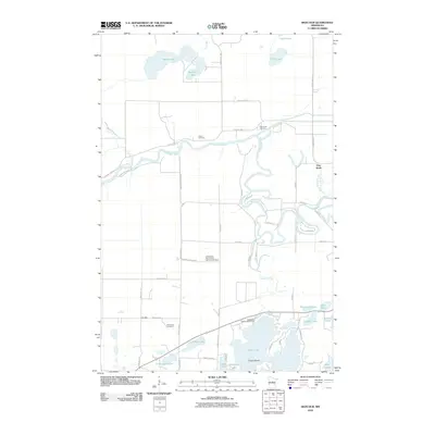 2010 Iron Hub2010 Print · USGSAitkin County at the turn of the decade is captured here as a landscape of interconnected lakes and river bends. Researchers can locate family landmarks like Carrol Cemetery and Immanuel Cemetery or trace the winding course of the Mississippi River near Pine Knoll.
 - 2013 Map of Iron Hub, 2013 Print
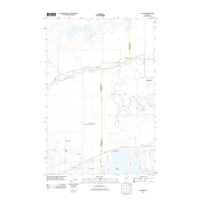 2013 Iron Hub2013 Print · USGSThe borderlands of Crow Wing and Aitkin County appear here in the early twenty-first century, defined by the winding Mississippi River and several glacial lakes. Genealogists and local historians can locate several family-linked burial grounds like Immanuel Cem, Rushmeyer Cem, and the settlement at Iron Hub.
 - 2016 Map of Iron Hub, 2016 Print
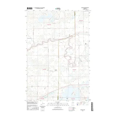 2016 Iron Hub2016 Print · USGSIn the lake country of central Minnesota during the mid-2010s, rural life followed the winding path of the Mississippi River and local county roads. Genealogists can trace family sites near Pine Knoll Cem, Immanuel Cem, and the small settlement of Iron Hub.
 - 2019 Map of Iron Hub, 2019 Print
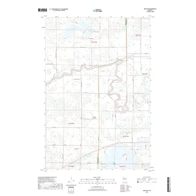 2019 Iron Hub2019 Print · USGSThe Mississippi River corridor between Crow Wing and Aitkin Counties is shown here in the late twenty-teens. Researchers can trace rural cemeteries and small settlements such as Iron Hub, Pine Knoll, and the Immanuel Cem near Casey Lake.
 - 2022 Map of Iron Hub, 2022 Print
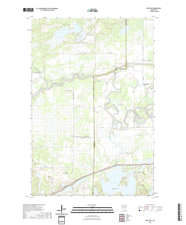 2022 Iron Hub2022 Print · USGSCrow Wing County and Aitkin County are divided by the winding Mississippi River in this recent survey of Minnesota's lake country. Researchers can locate several burial grounds including Saint Johns Lutheran Cemetery and the curious Poor Farm Lake.
End of results
Showing maps 1-11 of 11
Top cities near Pine Knoll
- Crosby historical maps
- Aitkin historical maps
- Emily historical maps
- Bay Lake historical maps
- Deerwood historical maps
- Ironton historical maps
See more
Frequently asked questions
- What are the different types of historical maps available for Pine Knoll?
- What is the oldest map of Pine Knoll?
- Where can I purchase historical maps of Pine Knoll for my home or office?
- Where can I download high-res historical maps of Pine Knoll?
- Are there historical topographic maps available for Pine Knoll?
- Is there historical aerial imagery available for Pine Knoll?
- Where are historical maps of Pine Knoll sourced from?