Old Maps of Shovel Lake, Minnesota for Academic Research
Study the evolution of Shovel Lake with 10 high-resolution historic maps. Whether you're teaching, researching, or modeling changes in land use, these maps provide essential visual documentation of urban, environmental, and geographic change.
- Analyze long-term change: Track patterns in development, transportation, and natural features.
- Ideal for environmental or urban studies: Support academic projects with primary historical map data.
- Use in the classroom or lab: Educators and researchers rely on these maps to bring historical context to life.
These maps are a powerful tool for teaching, research, and visualizing how Shovel Lake has changed over the decades.
Shovel Lake, MN maps
(10)- 1953 Map of Duluth, 1964 Print
 1953 Duluth1964 Print · USGSNortheastern Minnesota and northwestern Wisconsin are shown here during a period of industrial maturity and expanding conservation. Genealogists and historians can trace rail-connected towns like McGrath and Wahkon, or locate heritage sites within the Fond du Lac Indian Reservation.2 unique versions available
 - 1958 Map of Duluth
 1958 Duluth1958 Print · USGSNortheastern Minnesota and the Wisconsin borderlands are shown in detail during the late 1950s, centered on the bustling rail yards and ports of Duluth. You can trace the historic routes of the Soo Line and Duluth Missabe & Iron Range through small towns like McGrath, Bruno, and Wrenshall.
 - 1970 Map of Shovel Lake, 1972 Print
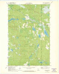 1970 Shovel Lake1972 Print · USGSNorthwestern Minnesota’s lake-and-forest country is mapped here in the early seventies, spanning the borders of Cass and Aitkin Counties. Local historians and outdoorsmen can trace the Soo Line rail corridor, the Lakeview Cem, and an extensive early Snowmobile Trail.2 unique versions available
 - 1994 Map of Aitkin
 1994 Aitkin1994 Print · USGSIn the mid-1990s, the lake country of central Minnesota remained a patchwork of state forests and rail-linked settlements. Researchers can trace the legacy of the Soo Line through towns like McGregor and Aitkin, or explore the vast reaches of the Savanna State Forest and Rice Lake.
 - 1996 Map of Shovel Lake, 1998 Print
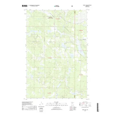
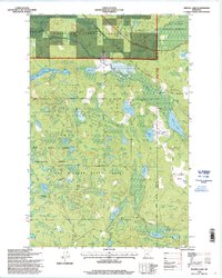 1996 Shovel Lake1998 Print · USGSCass and Aitkin Counties are shown in the mid-1990s as a densely forested landscape of state and national lands. Genealogists and local historians can locate the Townhall, Lakeview Cemetery, and the old settlement at Shovel Lake amidst the lakes and timber.
 - 2011 Map of Shovel Lake, 2011 Print
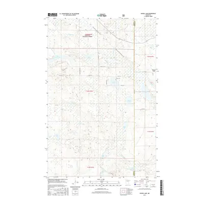
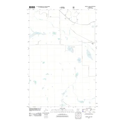 2011 Shovel Lake2011 Print · USGSCovers Shovel Lake, including Cass County, Aitkin County, and other nearby areas
 - 2013 Map of Shovel Lake, 2013 Print
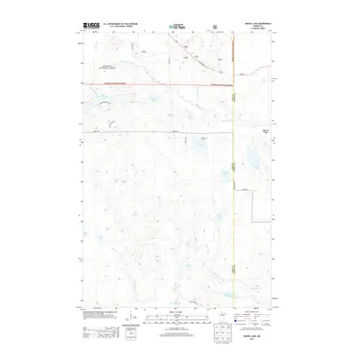 2013 Shovel Lake2013 Print · USGSCovers Shovel Lake, including Cass County, Aitkin County, and other nearby areas
 - 2016 Map of Shovel Lake, 2016 Print
 2016 Shovel Lake2016 Print · USGSCovers Shovel Lake, including Cass County, Aitkin County, and other nearby areas
 - 2019 Map of Shovel Lake, 2019 Print
 2019 Shovel Lake2019 Print · USGSCovers Shovel Lake, including Cass County, Aitkin County, and other nearby areas
 - 2022 Map of Shovel Lake, 2022 Print
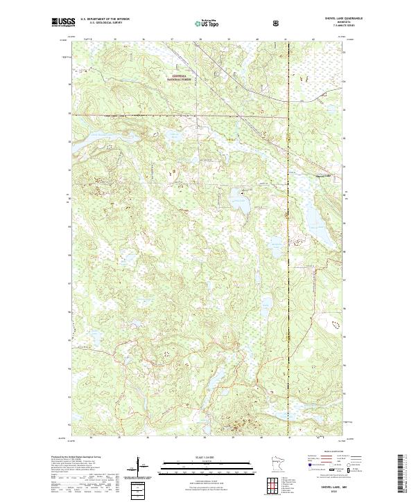 2022 Shovel Lake2022 Print · USGSThe wooded lake country of northern Minnesota is captured here in the early twenty-first century, showing the intersection of Chippewa National Forest and the Shovel Lake settlement. Genealogists and researchers can locate Lakeview Cem and trace former rail routes now used as the Soo Line North: Aitkin Trl.
End of results
Showing maps 1-10 of 10
Top cities near Shovel Lake
- Emily historical maps
- Hill City historical maps
- Remer historical maps
- Waukenabo historical maps
- Little Pine historical maps
Frequently asked questions
- What are the different types of historical maps available for Shovel Lake?
- What is the oldest map of Shovel Lake?
- Where can I purchase historical maps of Shovel Lake for my home or office?
- Where can I download high-res historical maps of Shovel Lake?
- Are there historical topographic maps available for Shovel Lake?
- Is there historical aerial imagery available for Shovel Lake?
- Where are historical maps of Shovel Lake sourced from?