Old Maps of Ham Lake, Minnesota for Metal Detecting
Plan your next treasure hunt with 40 historic maps of Ham Lake. Find old homesites, ghost towns, trails, and gathering spots that may be lost to time — perfect for identifying promising metal detecting locations.
- Locate forgotten sites: Uncover places like long-lost settlements, abandoned rail lines, or gathering spots.
- Plan better hunts: Use map overlays combined with LiDAR or satellite views to narrow in on historically rich areas.
- Made for detectorists: Thousands of hobbyists use these maps to discover relics, coins, and hidden history.
Use these historic maps to boost your research and find new opportunities beneath the surface of Ham Lake.
Ham Lake, MN maps
(40)- 1902 Map of White Bear
 1902 White Bear1902 Print · USGSThe lake-dotted landscape northeast of the Twin Cities is captured here at the start of the twentieth century. Researchers can trace early railroad junctions and industry at the Minneapolis Stock Yards, or locate old settlements like Lino, Cardigan, and New Brighton.4 unique versions available
 - 1902 Map of Anoka
 1902 Anoka1902 Print · USGSNorth of Minneapolis at the turn of the century, this area shows a landscape of glacial lakes and growing rail towns. Genealogists can trace family roots in early settlements like Osseo, Champlin, and Robbinsdale or locate long-standing landmarks near Medicine Lake.4 unique versions available
 - 1916 Map of St. Francis, 1960 Print
 1916 St. Francis1960 Print · USGSAnoka and Isanti counties appear as a thriving network of rural townships and riverfront settlements just before the Great War. Genealogists can locate family-named landmarks and local hubs like Mitchell Corners, Nowthen, and the many numbered schoolhouses along the Rum River.3 unique versions available
 - 1919 Map of St. Francis
 1919 St. Francis1919 Print · USGSAnoka and Isanti counties come alive in the decade following the Great War, showing a landscape defined by the winding Rum River. Genealogists can trace early homesteads and community hubs like Saint Francis, Mitchell Corners, and the Nowthen School.2 unique versions available
 - 1953 Map of Stillwater, 1980 Print
 1953 Stillwater1980 Print · USGSThe Twin Cities and the St. Croix Valley are captured in this mid-century survey as the interstate era began to transform the Upper Midwest. Genealogists and historians can trace the rail-and-river geography of Stillwater, locate landmarks in Anoka, or explore the sprawling St Croix State Park.
 - 1955 Map of Circle Pines, 1956 Print
 1955 Circle Pines1956 Print · USGSSouthern Anoka County is shown in the mid-fifties just as suburban development began to weave through its traditional marshlands and creek beds. Genealogists and local historians can trace early neighborhood footprints and landmarks like Red Brick Sch, St Joseph Ch, and the original layout of Circle Pines.
 - 1955 Map of Coon Rapids, 1956 Print
 1955 Coon Rapids1956 Print · USGSThe Mississippi River valley north of Minneapolis was undergoing a post-war transformation in the mid-fifties. Genealogists and local historians can trace the early development of Coon Rapids and Blaine, locating the WCCO Radio Tower, Bragdon Church, and the Coon Rapids Dam.
 - 1955 Map of Isanti, 1957 Print
 1955 Isanti1957 Print · USGSNorth of the Twin Cities in the mid-fifties, this area reveals a dense landscape of wetlands and small rural communities. Genealogists can locate numerous pioneer sites, including Old Bethel Cem, West Bethel Ch, and several already-closed schools like Crooked Brook Sch.2 unique versions available
 - 1955 Map of Anoka, 1959 Print
 1955 Anoka1959 Print · USGSNorth of Minneapolis in the mid-fifties, the suburban frontier was rapidly advancing through the lake-dotted landscapes of Hennepin and Anoka counties. Local historians can trace the early development of Coon Rapids, Brooklyn Park, and New Hope alongside legacy sites like the State Hospital and St Vincent Cem.
 - 1955 Map of New Brighton, 1959 Print
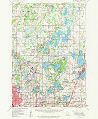 1955 New Brighton1959 Print · USGSThe northern reaches of the Twin Cities were undergoing a post-war transformation in the mid-fifties as suburbs pushed into the lake country. Researchers can trace the massive Twin Cities Arsenal, find the old Red Brick Sch, and locate the Abandoned Aqueduct winding toward the city.
 - 1955 Map of Stillwater, 1965 Print
 1955 Stillwater1965 Print · USGSThe Upper St. Croix Valley and the growing Twin Cities area are shown here during the mid-fifties, before the interstate era transformed the regional commute. You can trace the lines of the Northern Pacific RR through towns like Rush City or locate the Saint Croix Indian Reservation.
 - 1958 Map of Stillwater
 1958 Stillwater1958 Print · USGSThe Upper Mississippi and St. Croix River valleys appear in the mid-fifties as the Twin Cities expanded north. Genealogists can locate family landmarks like Oak Park Cem, Saint Michael Church, and the Soo Line RR rail corridors.2 unique versions available
 - 1965 Map of Stillwater
 1965 Stillwater1965 Print · USGSThe Twin Cities and the St. Croix Valley are mapped here during a period of significant post-war growth and industrial transit. Genealogists and historians can trace rail lines like the Northern Pacific RR through towns such as Rush City, Amery, and Balsam Lake.
 - 1967 Map of Circle Pines, 1969 Print
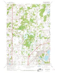 1967 Circle Pines1969 Print · USGSThe northern Twin Cities suburbs were rapidly expanding in the late sixties, as new residential grids began to replace rural fields. Genealogists and local historians can trace early neighborhood footprints near Johnsville, Lexington, and the Anoka County Airport.4 unique versions available
 - 1967 Map of Coon Rapids, 1969 Print
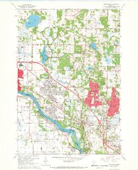 1967 Coon Rapids1969 Print · USGSGreater Minneapolis-Saint Paul expanded rapidly in the late sixties as the residential corridors of Anoka County took shape. Genealogists and local historians can trace the early footprints of Northdale, the Anoka-Ramsey State Junior College, and landmarks like the Radio Tower (WCCO).5 unique versions available
 - 1974 Map of Cedar, 1976 Print
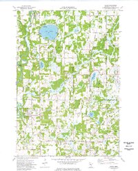 1974 Cedar1976 Print · USGSAnoka County undergoes steady suburban transformation in the mid-seventies as new road grids expand around traditional settlements. Genealogists and local historians can trace the foundations of Oak Grove and Ham Lake while locating Pierce Cem and St Patricks Ch.2 unique versions available
 - 1974 Map of Coon Lake Beach, 1976 Print
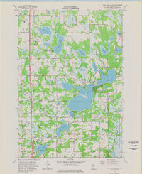 1974 Coon Lake Beach1976 Print · USGSAnoka County's lake-rich landscape is captured in the mid-seventies, showing the growth of Coon Lake Beach and Soderville among the glacial basins. Researchers can trace local roots through landmarks like Oak Leaf Cem, McKinley Sch, and the Old Railroad Grade.2 unique versions available
 - 1975 Map of Stillwater
 1975 Stillwater1975 Print · USGSThe Twin Cities and the St. Croix Valley are captured in the mid-seventies, showing the urban growth of Minneapolis and St Paul. Researchers can trace old rail corridors of the Northern Pacific RR and locate tribal lands at the Mille Lacs Indian Reservation.2 unique versions available
 - 1985 Map of Anoka
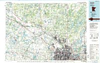 1985 Anoka1985 Print · USGSThe northern Twin Cities suburbs and the Mississippi River valley are captured here in the mid-eighties as suburban growth began to meet rural conservation lands. Trace the expansion of Anoka and Blaine, or locate family landmarks near the Rum River and Buffalo Lake.
 - 1991 Map of Anoka, 1992 Print
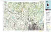 1991 Anoka1992 Print · USGSThe northern Twin Cities suburbs and the upper Mississippi River valley are captured here in the early nineties during a period of rapid suburban expansion. Trace the rail corridors of the Burlington Northern Railroad or explore the boundaries of the Sherburne National Wildlife Refuge and Lake Maria State Park.
 - 2010 Map of Cedar, 2010 Print
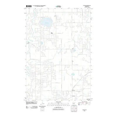 2010 Cedar2010 Print · USGSAnoka County's shifting rural and residential landscape is captured here in the early twenty-first century. Genealogists and local historians can locate several family burial grounds, including Pierce Cemetery, Cedar Cemetery, and the historic community of Constance.
 - 2010 Map of Coon Rapids, 2010 Print
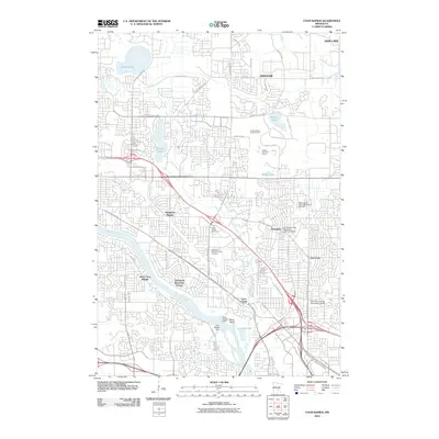 2010 Coon Rapids2010 Print · USGSThe northern Twin Cities suburbs were firmly established by the early twenty-first century as seen in this detailed topographical study. Researchers can locate long-standing landmarks like the Coon Rapids Dam or trace family history at Joyce Chapel Cemetery and Oak Park.
 - 2010 Map of Coon Lake Beach, 2010 Print
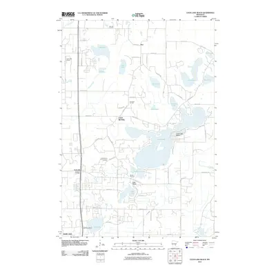 2010 Coon Lake Beach2010 Print · USGSAnoka County's northern lake country is shown in the early twenty-first century as suburban neighborhoods grew around traditional recreation spots. Researchers can trace family history at Our Saviour's Lutheran Church Cemetery or explore the settlements of Soderville and Coon Lake Beach.
 - 2010 Map of Circle Pines, 2010 Print
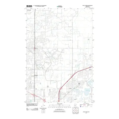 2010 Circle Pines2010 Print · USGSBlaine and Circle Pines appear at the height of their suburban development during the early 2000s. Researchers can trace local aviation and community landmarks from the Anoka County Airport and Lino Air Park to the Saint Joseph Catholic Church Cemetery.
 - 2013 Map of Circle Pines, 2013 Print
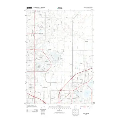 2013 Circle Pines2013 Print · USGSModern suburban growth meets a dense network of regional aviation and glacial lakes in this Anoka County survey. Researchers can trace local development around Johnsville, find the Saint Joseph Catholic Church Cem, or locate family landmarks near Baldwin Lake.
Showing maps 1-25 of 40
Top cities near Ham Lake
- Minneapolis historical maps
- Brooklyn Park historical maps
- Plymouth historical maps
- Maple Grove historical maps
- Coon Rapids historical maps
- Blaine historical maps
See more
Top neighborhoods of Ham Lake
Frequently asked questions
- What are the different types of historical maps available for Ham Lake?
- What is the oldest map of Ham Lake?
- Where can I purchase historical maps of Ham Lake for my home or office?
- Where can I download high-res historical maps of Ham Lake?
- Are there historical topographic maps available for Ham Lake?
- Is there historical aerial imagery available for Ham Lake?
- Where are historical maps of Ham Lake sourced from?