
1902 Map of Anoka
USGS Topo · Published 1902About this map
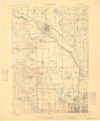
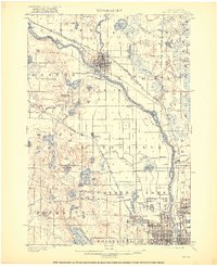
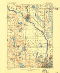
Anoka stands at the confluence of the Mississippi River and the Rum River, serving as a focal point for this early twentieth-century survey of the northern edge of the Minneapolis metropolitan area. The landscape is dominated by a dense network of lakes and creeks, including Medicine Lake, Eagle Lake, and Round Lake, which defined the early development of townships like Maple Grove and Brooklyn.
Find a feature on this map
82 named features on this map. Tap any name to fly to it.
Don’t see what you’re looking for? This feature index may not catch every label — zoom into the map to look around manually.
Map Details
Editions of this 1902 Anoka Map
4 editions found
Other maps of this area

1896 · Minneapolis
USGS Topo · 1:62,500

1896 · St. Paul
USGS Topo · 1:62,500

1901 · Minneapolis
USGS Topo · 1:62,500

1902 · White Bear
USGS Topo · 1:62,500

1905 · Minnetonka
USGS Topo · 1:62,500

1907 · Minnetonka
USGS Topo · 1:62,500

1909 · Rockford
USGS Topo · 1:62,500

1916 · St. Francis
USGS Topo · 1:62,500

1919 · St. Francis
USGS Topo · 1:62,500

1951 · St. Paul West
USGS Topo · 1:24,000