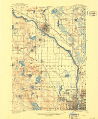
1902 Map of Anoka
USGS Topo · Published 1921About this map
The Mississippi River and Rum River confluence serves as the focal point for this turn-of-the-century landscape, where the settlement of Anoka faces Champlin across the water. A dense network of rail lines, including the Northern Pacific R. R. and the Great Northern R. R., radiates from the northwest toward Minneapolis, illustrating the region's role as a vital transportation corridor before the era of major highways. The terrain is defined by a glacial distribution of water bodies, such as Medicine Lake, Eagle Lake, and Rice Lake, many of which sit within the townships of Plymouth and Maple Grove. To the south, early suburban developments like Robbinsdale, Brooklyn Center, and Crystal emerge along the Minnesota Division rail line, capturing the expansion of the metropolitan fringe into the surrounding prairies and wetlands.
Find a feature on this map
73 named features on this map. Tap any name to fly to it.
Don’t see what you’re looking for? This feature index may not catch every label — zoom into the map to look around manually.
Map Details
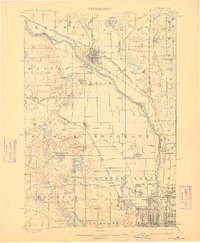
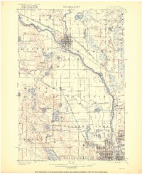
Editions of this 1902 Anoka Map
4 editions found
Other maps of this area

1896 · Minneapolis
USGS Topo · 1:62,500

1896 · St. Paul
USGS Topo · 1:62,500

1901 · Minneapolis
USGS Topo · 1:62,500

1902 · White Bear
USGS Topo · 1:62,500

1902 · Anoka
USGS Topo · 1:62,500

1905 · Minnetonka
USGS Topo · 1:62,500

1907 · Minnetonka
USGS Topo · 1:62,500

1909 · Rockford
USGS Topo · 1:62,500

1916 · St. Francis
USGS Topo · 1:62,500

1919 · St. Francis
USGS Topo · 1:62,500