Old Maps of Oak Grove, Minnesota for Hiking & Exploration
Hike through history with 33 historic maps of Oak Grove. Explore old trails, ghost towns, and forgotten backroads — perfect for outdoor adventurers and local explorers.
- Rediscover forgotten places: Map out old mining camps, roads, and footpaths that no longer exist on modern maps.
- Layer with modern tools: Combine with LiDAR or satellite views to plan hikes through historical terrain.
- Made for exploration: Popular among hikers, overlanders, and local history lovers.
Use these maps to find adventure and explore the hidden past of Oak Grove.
Oak Grove, MN maps
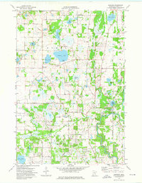
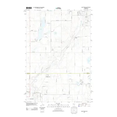
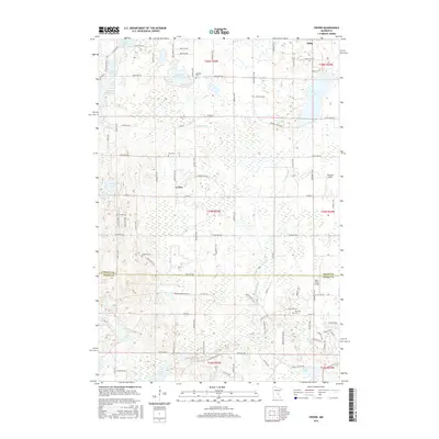
(33)- 1916 Map of St. Francis, 1960 Print
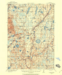 1916 St. Francis1960 Print · USGSAnoka and Isanti counties appear as a thriving network of rural townships and riverfront settlements just before the Great War. Genealogists can locate family-named landmarks and local hubs like Mitchell Corners, Nowthen, and the many numbered schoolhouses along the Rum River.3 unique versions available
 - 1919 Map of St. Francis
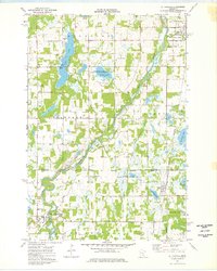
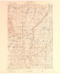 1919 St. Francis1919 Print · USGSAnoka and Isanti counties come alive in the decade following the Great War, showing a landscape defined by the winding Rum River. Genealogists can trace early homesteads and community hubs like Saint Francis, Mitchell Corners, and the Nowthen School.2 unique versions available
 - 1953 Map of Stillwater, 1980 Print
 1953 Stillwater1980 Print · USGSThe Twin Cities and the St. Croix Valley are captured in this mid-century survey as the interstate era began to transform the Upper Midwest. Genealogists and historians can trace the rail-and-river geography of Stillwater, locate landmarks in Anoka, or explore the sprawling St Croix State Park.
 - 1955 Map of Stillwater, 1965 Print
 1955 Stillwater1965 Print · USGSThe Upper St. Croix Valley and the growing Twin Cities area are shown here during the mid-fifties, before the interstate era transformed the regional commute. You can trace the lines of the Northern Pacific RR through towns like Rush City or locate the Saint Croix Indian Reservation.
 - 1958 Map of Stillwater
 1958 Stillwater1958 Print · USGSThe Upper Mississippi and St. Croix River valleys appear in the mid-fifties as the Twin Cities expanded north. Genealogists can locate family landmarks like Oak Park Cem, Saint Michael Church, and the Soo Line RR rail corridors.2 unique versions available
 - 1965 Map of Stillwater
 1965 Stillwater1965 Print · USGSThe Twin Cities and the St. Croix Valley are mapped here during a period of significant post-war growth and industrial transit. Genealogists and historians can trace rail lines like the Northern Pacific RR through towns such as Rush City, Amery, and Balsam Lake.
 - 1974 Map of Crown, 1976 Print
 1974 Crown1976 Print · USGSThe Isanti and Anoka county line in the mid-seventies reveals a landscape of protected wetlands and rural outposts. Researchers can trace local genealogy and land use at Crown, Zion Cem, and the Bar None Ranch.
 - 1974 Map of Cedar, 1976 Print
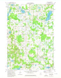
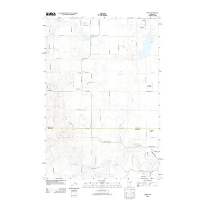
 1974 Cedar1976 Print · USGSAnoka County undergoes steady suburban transformation in the mid-seventies as new road grids expand around traditional settlements. Genealogists and local historians can trace the foundations of Oak Grove and Ham Lake while locating Pierce Cem and St Patricks Ch.2 unique versions available
 - 1974 Map of Nowthen, 1976 Print
 1974 Nowthen1976 Print · USGSAnoka County's lake-strewn landscape is captured here in the mid-seventies, showing the rural communities of Burns and Ramsey. Researchers can locate family landmarks such as Lakeview Cem, Trott Brook Ch, and the original Townhall in Nowthen.2 unique versions available
 - 1974 Map of St Francis, 1976 Print
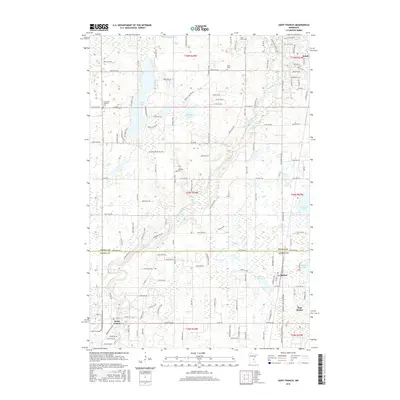
 1974 St Francis1976 Print · USGSThe Rum River valley in the mid-seventies shows a landscape of growing townships and preserved wetlands along the Isanti and Anoka county line. Researchers can trace the Burlington Northern rail corridor and find local landmarks like Strike Cem, Boys Ranch, and St Johns Ch.
 - 1975 Map of Stillwater
 1975 Stillwater1975 Print · USGSThe Twin Cities and the St. Croix Valley are captured in the mid-seventies, showing the urban growth of Minneapolis and St Paul. Researchers can trace old rail corridors of the Northern Pacific RR and locate tribal lands at the Mille Lacs Indian Reservation.2 unique versions available
 - 1985 Map of Anoka
 1985 Anoka1985 Print · USGSThe northern Twin Cities suburbs and the Mississippi River valley are captured here in the mid-eighties as suburban growth began to meet rural conservation lands. Trace the expansion of Anoka and Blaine, or locate family landmarks near the Rum River and Buffalo Lake.
 - 1991 Map of Anoka, 1992 Print
 1991 Anoka1992 Print · USGSThe northern Twin Cities suburbs and the upper Mississippi River valley are captured here in the early nineties during a period of rapid suburban expansion. Trace the rail corridors of the Burlington Northern Railroad or explore the boundaries of the Sherburne National Wildlife Refuge and Lake Maria State Park.
 - 2010 Map of Cedar, 2010 Print
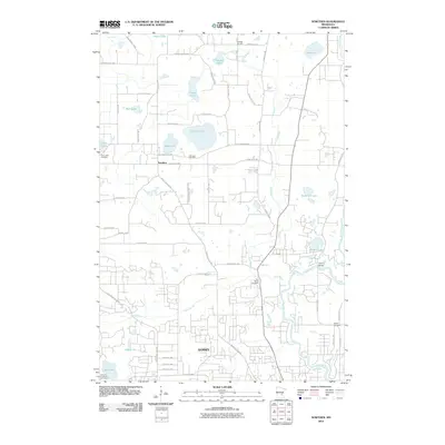
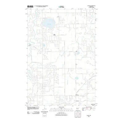 2010 Cedar2010 Print · USGSCovers Oak Grove, including Andover, Ramsey, and other nearby areas
 - 2010 Map of Saint Francis, 2010 Print
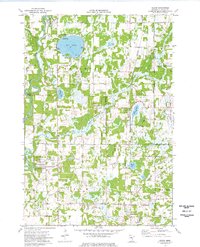
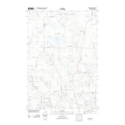
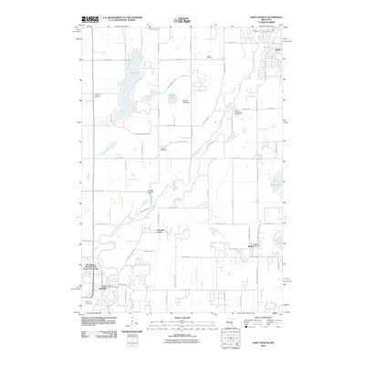 2010 Saint Francis2010 Print · USGSCovers Oak Grove, including East Bethel, Saint Francis, and other nearby areas
 - 2010 Map of Nowthen, 2010 Print
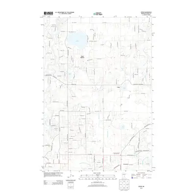
 2010 Nowthen2010 Print · USGSCovers Oak Grove, including Andover, Ramsey, and other nearby areas
 - 2010 Map of Crown, 2010 Print
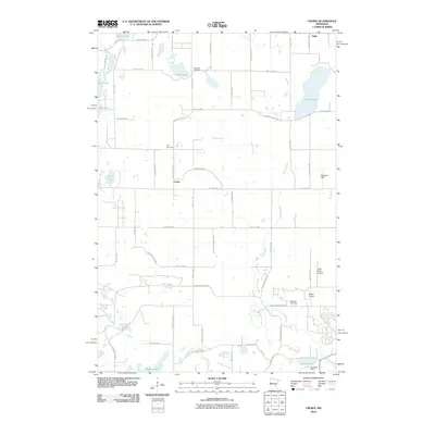 2010 Crown2010 Print · USGSCovers Oak Grove, including Spencer Brook Township, Nowthen, and other nearby areas
 - 2013 Map of Nowthen, 2013 Print
 2013 Nowthen2013 Print · USGSCovers Oak Grove, including Andover, Ramsey, and other nearby areas
 - 2013 Map of Cedar, 2013 Print
 2013 Cedar2013 Print · USGSCovers Oak Grove, including Andover, Ramsey, and other nearby areas
 - 2013 Map of Saint Francis, 2013 Print
 2013 Saint Francis2013 Print · USGSCovers Oak Grove, including East Bethel, Saint Francis, and other nearby areas
 - 2013 Map of Crown, 2013 Print
 2013 Crown2013 Print · USGSCovers Oak Grove, including Spencer Brook Township, Nowthen, and other nearby areas
 - 2016 Map of Nowthen, 2016 Print
 2016 Nowthen2016 Print · USGSCovers Oak Grove, including Andover, Ramsey, and other nearby areas
 - 2016 Map of Cedar, 2016 Print
 2016 Cedar2016 Print · USGSCovers Oak Grove, including Andover, Ramsey, and other nearby areas
 - 2016 Map of Crown, 2016 Print
 2016 Crown2016 Print · USGSCovers Oak Grove, including Spencer Brook Township, Nowthen, and other nearby areas
 - 2016 Map of Saint Francis, 2016 Print
 2016 Saint Francis2016 Print · USGSCovers Oak Grove, including East Bethel, Saint Francis, and other nearby areas
Showing maps 1-25 of 33
Top cities near Oak Grove
- Brooklyn Park historical maps
- Maple Grove historical maps
- Coon Rapids historical maps
- Blaine historical maps
- Andover historical maps
- Ramsey historical maps
See more
Top neighborhoods of Oak Grove
Frequently asked questions
- What are the different types of historical maps available for Oak Grove?
- What is the oldest map of Oak Grove?
- Where can I purchase historical maps of Oak Grove for my home or office?
- Where can I download high-res historical maps of Oak Grove?
- Are there historical topographic maps available for Oak Grove?
- Is there historical aerial imagery available for Oak Grove?
- Where are historical maps of Oak Grove sourced from?