Old Maps of Birchlane & Country Lane Mhc, Minnesota for Hiking & Exploration
Hike through history with 10 historic maps of Birchlane & Country Lane Mhc. Explore old trails, ghost towns, and forgotten backroads — perfect for outdoor adventurers and local explorers.
- Rediscover forgotten places: Map out old mining camps, roads, and footpaths that no longer exist on modern maps.
- Layer with modern tools: Combine with LiDAR or satellite views to plan hikes through historical terrain.
- Made for exploration: Popular among hikers, overlanders, and local history lovers.
Use these maps to find adventure and explore the hidden past of Birchlane & Country Lane Mhc.
Birchlane & Country Lane Mhc, MN maps
(10)- 1954 Map of Bemidji, 1966 Print
 1954 Bemidji1966 Print · USGSNorthern Minnesota's lake country and timberlands are captured here at a mid-century peak of rail and road expansion. Genealogists and historians can trace family roots through numerous small settlements like Mahnomen, Clearbrook, and Walker, while locating local landmarks such as White Earth Church.4 unique versions available
- 1957 Map of Bemidji
 1957 Bemidji1957 Print · USGSNorthern Minnesota in the mid-fifties is defined by its massive lake systems and the sprawling timberlands of the Chippewa National Forest. Genealogists and researchers can trace old rail lines like the Great Northern RR and locate settlements such as Moberg, Naytahwaush, and Lake Itasca.
- 1958 Map of Bemidji
 1958 Bemidji1958 Print · USGSNorthern Minnesota in the late fifties is a vast landscape of tribal lands and timber forests tied together by rail. Genealogists and researchers can trace old rail stops and lakeside communities from Walker to Fosston, or explore the source of the Mississippi at Lake Itasca.
- 1968 Map of Bemidji West, 1971 Print
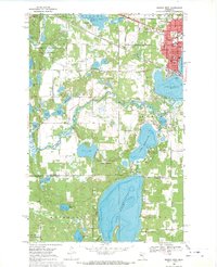 1968 Bemidji West1971 Print · USGSThe headwaters of the Mississippi intersect with a growing college town and rail hub in the late 1960s. Genealogists and historians can trace the campuses of Bemidji State College and Oak Hills Institute, or locate family plots at Greenwood Cem and Wilton Cem.2 unique versions available
- 1977 Map of Cass Lake, 1978 Print
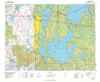 1977 Cass Lake1978 Print · USGSThe northern Minnesota lake country is shown in the late seventies, dominated by the massive waters of Leech Lake and the headwaters of the Mississippi. Genealogists and local historians can trace lakeside settlements like Walker and Onigum, or locate the State College in Bemidji.
- 2010 Map of Bemidji West, 2010 Print
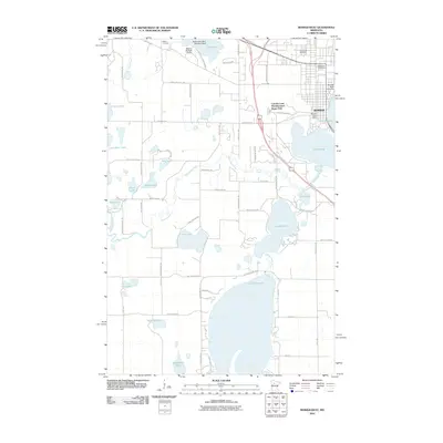 2010 Bemidji West2010 Print · USGSThe western edges of Bemidji and its surrounding lake country are shown here in the first decade of the millennium. Researchers can trace the layout of Bemidji State University or locate aviation sites like Moberg Air Base Airport and Moberg Air Base Seaplane Base.
- 2013 Map of Bemidji West, 2013 Print
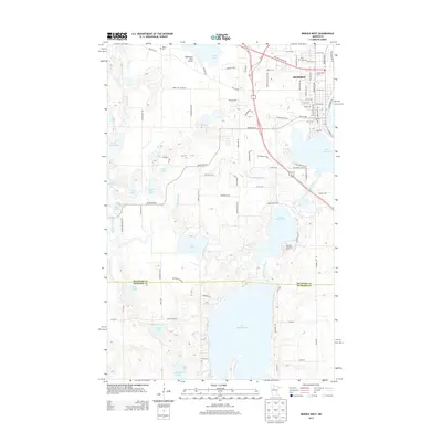 2013 Bemidji West2013 Print · USGSUpper Mississippi headwaters and the southern reaches of Bemidji are documented here in the early twenty-first century. Genealogists and local historians can locate Oak Hills Christian College, Greenwood Cem, and the path of the Schoolcraft River.
- 2016 Map of Bemidji West, 2016 Print
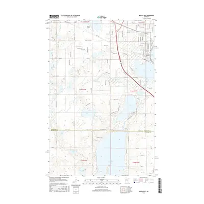 2016 Bemidji West2016 Print · USGSThe headwaters region of Northern Minnesota is captured here in the mid-2010s, showing the city of Bemidji and its surrounding lake country. Researchers can trace the Mississippi River as it links Lake Irving and Lake Bemidji, or locate landmarks like Greenwood Cem and Moberg Air Base.
- 2019 Map of Bemidji West, 2019 Print
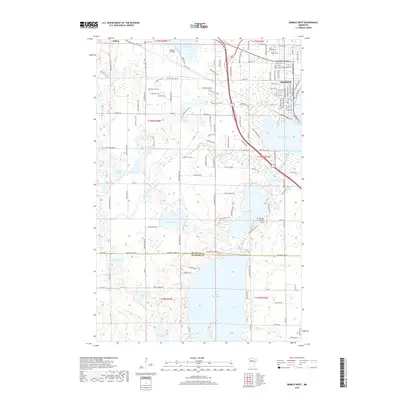 2019 Bemidji West2019 Print · USGSUpper Mississippi headwaters and glacial lake chains surround the growing community of Bemidji during the late 2010s. Genealogists and local historians can locate family plots at Wilton Cem and Holy Cross Cem, or trace the winding course of the Schoolcraft River.
- 2022 Map of Bemidji West, 2022 Print
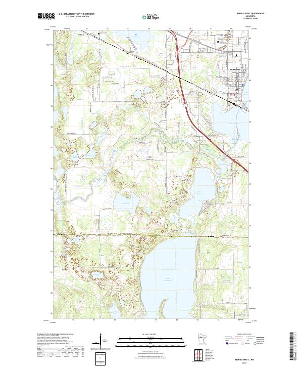 2022 Bemidji West2022 Print · USGSThe headwaters of the Mississippi River wind through this lake-rich region west of Bemidji in the early 2020s. Genealogists and local historians can trace family plots at Wilton Cem or explore the surroundings of Lake Plantagenet and Oak Hills Christian College.
End of results
Showing maps 1-10 of 10
Top cities near Birchlane & Country Lane Mhc
- Bemidji historical maps
- Guthrie historical maps
- Tenstrike historical maps
- Wilton historical maps
- Turtle River historical maps
- Solway historical maps
Frequently asked questions
- What are the different types of historical maps available for Birchlane & Country Lane Mhc?
- What is the oldest map of Birchlane & Country Lane Mhc?
- Where can I purchase historical maps of Birchlane & Country Lane Mhc for my home or office?
- Where can I download high-res historical maps of Birchlane & Country Lane Mhc?
- Are there historical topographic maps available for Birchlane & Country Lane Mhc?
- Is there historical aerial imagery available for Birchlane & Country Lane Mhc?
- Where are historical maps of Birchlane & Country Lane Mhc sourced from?