Old Maps of Ortonville, Minnesota for Academic Research
Study the evolution of Ortonville with 10 high-resolution historic maps. Whether you're teaching, researching, or modeling changes in land use, these maps provide essential visual documentation of urban, environmental, and geographic change.
- Analyze long-term change: Track patterns in development, transportation, and natural features.
- Ideal for environmental or urban studies: Support academic projects with primary historical map data.
- Use in the classroom or lab: Educators and researchers rely on these maps to bring historical context to life.
These maps are a powerful tool for teaching, research, and visualizing how Ortonville has changed over the decades.
Ortonville, MN maps
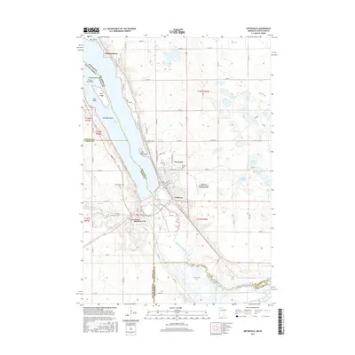
(10)- 1953 Map of Ortonville, 1955 Print
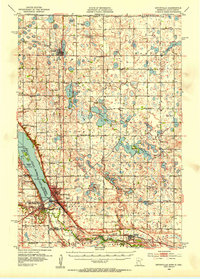 1953 Ortonville1955 Print · USGSThe Minnesota-South Dakota borderlands come alive in this mid-century survey of the lake-rich prairie. Genealogists and historians can locate numerous rural landmarks like Greenwood Cem, Pleasant Valley Ch, and the many numbered schools scattered between Clinton and Odessa.
 - 1953 Map of Milbank, 1958 Print
 1953 Milbank1958 Print · USGSThe tri-state border region of South Dakota, North Dakota, and Minnesota is shown here during the early fifties, a landscape defined by glacial lakes and the Sisseton Indian Reservation. Researchers can trace the legacy of the western railroads, locating old stops along the Great Northern and settlements like Milbank, Webster, and Sisseton.3 unique versions available
 - 1958 Map of Milbank
 1958 Milbank1958 Print · USGSThe northern Great Plains in the late fifties show a landscape of glacial lakes and reservation lands shaped by the Great Northern railroad. Genealogists and local historians can trace the grid of settlements from Britton to Milbank and locate landmarks like Enemy Swim Lake and the Sisseton Indian Reservation.
 - 1971 Map of Ortonville, 1974 Print
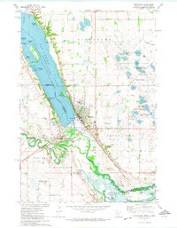 1971 Ortonville1974 Print · USGSBig Stone Lake and the upper Minnesota River define the state border in the early seventies, a landscape of water-based recreation and rail-side industry. Genealogists can trace family locations at Big Stone City, St Charles Cem, or the residential streets of Ortonville.
 - 1985 Map of Milbank
 1985 Milbank1985 Print · USGSThe South Dakota and Minnesota border region comes into focus during the mid-eighties as a hub of prairie lakes and rail transport. Genealogists and researchers can trace the lakeside settlements of Hiawatha Beach, the streets of Milbank, and legacy rail lines like the Burlington Northern.
 - 2010 Map of Ortonville, 2010 Print
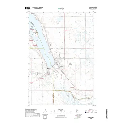
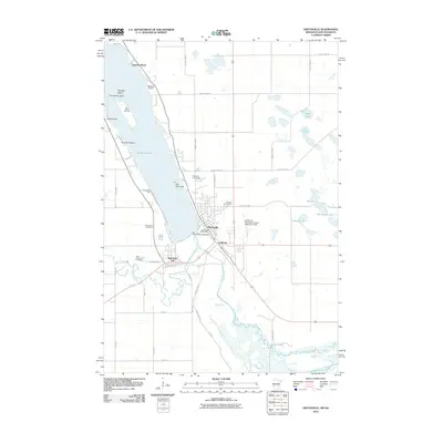 2010 Ortonville2010 Print · USGSCovers Ortonville, including Big Stone City, Lagoona Beach, and other nearby areas
 - 2013 Map of Ortonville, 2013 Print
 2013 Ortonville2013 Print · USGSCovers Ortonville, including Big Stone City, Lagoona Beach, and other nearby areas
 - 2016 Map of Ortonville, 2016 Print
 2016 Ortonville2016 Print · USGSCovers Ortonville, including Big Stone City, Lagoona Beach, and other nearby areas
 - 2019 Map of Ortonville, 2019 Print
 2019 Ortonville2019 Print · USGSCovers Ortonville, including Big Stone City, Lagoona Beach, and other nearby areas
 - 2022 Map of Ortonville, 2022 Print
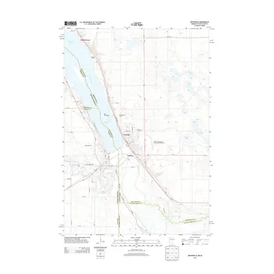
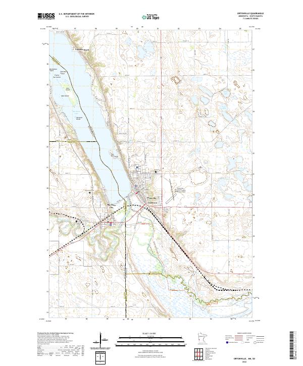 2022 Ortonville2022 Print · USGSThe Minnesota and South Dakota border comes alive in this survey of the communities surrounding the southern end of Big Stone Lake. Researchers can locate civic landmarks like the Big Stone County Courthouse and local cemeteries including Mound Cem and Saint Charles Cem.
End of results
Showing maps 1-10 of 10
Top cities near Ortonville
- Milbank historical maps
- Big Stone City historical maps
- Clinton historical maps
- Bellingham historical maps
- Odessa historical maps
Top neighborhoods of Ortonville
Frequently asked questions
- What are the different types of historical maps available for Ortonville?
- What is the oldest map of Ortonville?
- Where can I purchase historical maps of Ortonville for my home or office?
- Where can I download high-res historical maps of Ortonville?
- Are there historical topographic maps available for Ortonville?
- Is there historical aerial imagery available for Ortonville?
- Where are historical maps of Ortonville sourced from?