Old Maps of Atkinson Township, Minnesota for Hiking & Exploration
Hike through history with 28 historic maps of Atkinson Township. Explore old trails, ghost towns, and forgotten backroads — perfect for outdoor adventurers and local explorers.
- Rediscover forgotten places: Map out old mining camps, roads, and footpaths that no longer exist on modern maps.
- Layer with modern tools: Combine with LiDAR or satellite views to plan hikes through historical terrain.
- Made for exploration: Popular among hikers, overlanders, and local history lovers.
Use these maps to find adventure and explore the hidden past of Atkinson Township.
Atkinson Township, MN maps
(28)- 1953 Map of Duluth, 1964 Print
 1953 Duluth1964 Print · USGSNortheastern Minnesota and northwestern Wisconsin are shown here during a period of industrial maturity and expanding conservation. Genealogists and historians can trace rail-connected towns like McGrath and Wahkon, or locate heritage sites within the Fond du Lac Indian Reservation.2 unique versions available
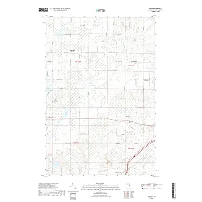
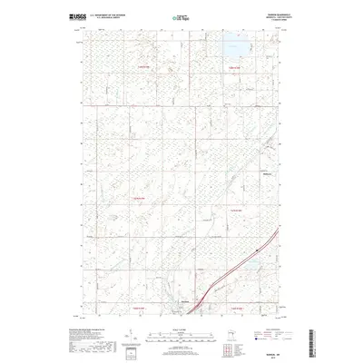
 - 1954 Map of Atkinson, 1955 Print
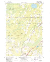
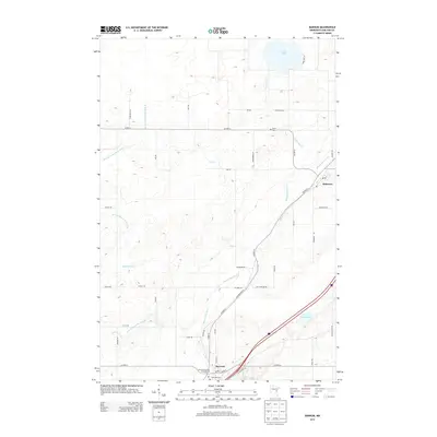
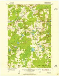 1954 Atkinson1955 Print · USGSCarlton County's rural townships are captured here in the mid-fifties, showing a landscape defined by intersecting rail lines and glacial lakes. Genealogists and local historians can trace family roots through landmarks like Bethel Cem, Blackhoof Valley Sch, and the settlement at Atkinson.3 unique versions available
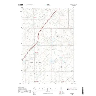
 - 1954 Map of Iverson, 1955 Print
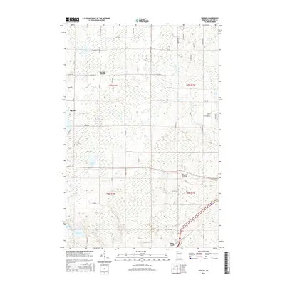
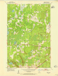 1954 Iverson1955 Print · USGSCarlton County's forested wetlands and rail corridors are captured here in the mid-1950s. Researchers can trace the Northern Pacific tracks through Iverson or locate historic local landmarks like the Big Lake Chapel and the Cloquet Forest Experiment Station.2 unique versions available
 - 1954 Map of Sawyer, 1956 Print
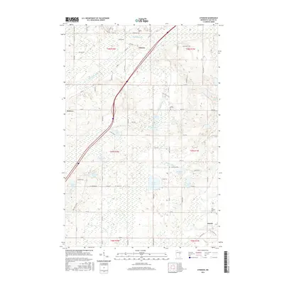
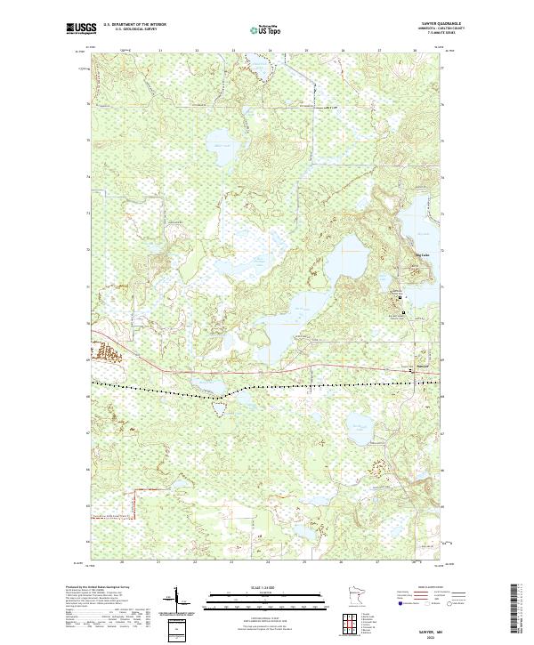
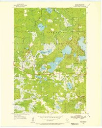 1954 Sawyer1956 Print · USGSSawyer and the surrounding Carlton County wetlands are documented here in the mid-1950s during a period of forest management and rail transit. Genealogists and local historians can trace the community around Mary and Joseph Ch and the Northern Pacific line near Perch Lake.3 unique versions available
 - 1956 Map of Barnum, 1958 Print
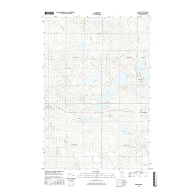
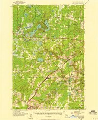 1956 Barnum1958 Print · USGSIn the mid-fifties, the Northern Pacific railroad still served as the primary spine connecting Carlton County settlements. Genealogists and historians can trace the locations of Salem Cem, the Blackhoof Valley Sch, and the Zion Ch during this era.2 unique versions available
 - 1958 Map of Duluth
 1958 Duluth1958 Print · USGSNortheastern Minnesota and the Wisconsin borderlands are shown in detail during the late 1950s, centered on the bustling rail yards and ports of Duluth. You can trace the historic routes of the Soo Line and Duluth Missabe & Iron Range through small towns like McGrath, Bruno, and Wrenshall.
 - 1980 Map of Duluth
 1980 Duluth1980 Print · USGSThe Twin Ports of the early 1980s showcase a landscape defined by heavy rail lines and Lake Superior shipping. Trace the iron-ore routes through Proctor or locate family sites near Sunrise Memorial Cem and Floodwood.
 - 1981 Map of Barnum, 1982 Print
 1981 Barnum1982 Print · USGSCarlton County's rural landscape is captured here in the early eighties, centered on the rail-linked communities of Mahtowa and Barnum. Genealogists and local historians can trace family-named routes like Youngren Road or find sites like Salem Cem.
 - 2010 Map of Atkinson, 2010 Print
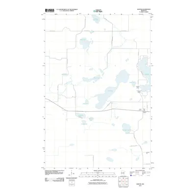
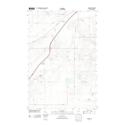
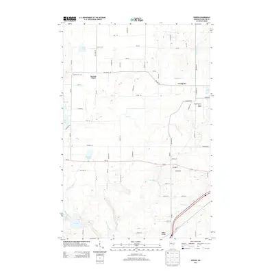
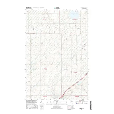
 2010 Atkinson2010 Print · USGSCovers Atkinson Township, including Atkinson, Mahtowa Township, and other nearby areas
 - 2010 Map of Iverson, 2010 Print
 2010 Iverson2010 Print · USGSCovers Atkinson Township, including Cloquet, Iverson, and other nearby areas
 - 2010 Map of Barnum, 2010 Print
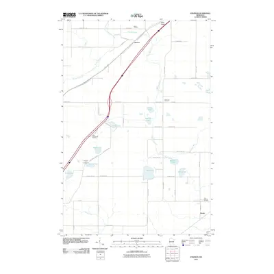
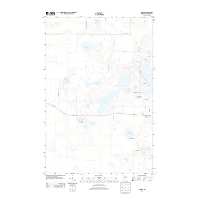
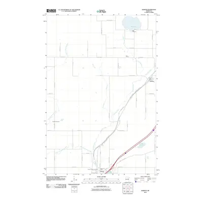 2010 Barnum2010 Print · USGSCovers Atkinson Township, including Barnum, Mahtowa, and other nearby areas
 - 2010 Map of Sawyer, 2010 Print
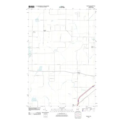
 2010 Sawyer2010 Print · USGSCovers Atkinson Township, including Sawyer, North Carlton, and other nearby areas
 - 2013 Map of Atkinson, 2013 Print
 2013 Atkinson2013 Print · USGSCovers Atkinson Township, including Atkinson, Mahtowa Township, and other nearby areas
 - 2013 Map of Iverson, 2013 Print
 2013 Iverson2013 Print · USGSCovers Atkinson Township, including Cloquet, Iverson, and other nearby areas
 - 2013 Map of Sawyer, 2013 Print
 2013 Sawyer2013 Print · USGSCovers Atkinson Township, including Sawyer, North Carlton, and other nearby areas
 - 2013 Map of Barnum, 2013 Print
 2013 Barnum2013 Print · USGSCovers Atkinson Township, including Barnum, Mahtowa, and other nearby areas
 - 2016 Map of Iverson, 2016 Print
 2016 Iverson2016 Print · USGSCovers Atkinson Township, including Cloquet, Iverson, and other nearby areas
 - 2016 Map of Atkinson, 2016 Print
 2016 Atkinson2016 Print · USGSCovers Atkinson Township, including Atkinson, Mahtowa Township, and other nearby areas
 - 2016 Map of Sawyer, 2016 Print
 2016 Sawyer2016 Print · USGSCovers Atkinson Township, including Sawyer, North Carlton, and other nearby areas
 - 2016 Map of Barnum, 2016 Print
 2016 Barnum2016 Print · USGSCovers Atkinson Township, including Barnum, Mahtowa, and other nearby areas
 - 2019 Map of Sawyer, 2019 Print
 2019 Sawyer2019 Print · USGSCovers Atkinson Township, including Sawyer, North Carlton, and other nearby areas
 - 2019 Map of Atkinson, 2019 Print
 2019 Atkinson2019 Print · USGSCovers Atkinson Township, including Atkinson, Mahtowa Township, and other nearby areas
 - 2019 Map of Iverson, 2019 Print
 2019 Iverson2019 Print · USGSCovers Atkinson Township, including Cloquet, Iverson, and other nearby areas
 - 2019 Map of Barnum, 2019 Print
 2019 Barnum2019 Print · USGSCovers Atkinson Township, including Barnum, Mahtowa, and other nearby areas
 - 2022 Map of Sawyer, 2022 Print
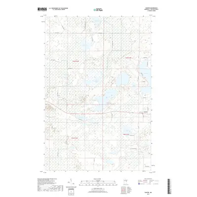
 2022 Sawyer2022 Print · USGSSawyer and the surrounding lakelands are shown in this recent Carlton County survey, capturing the region's unique wetland geography. Genealogists and local historians can trace the community around the Methodist Indian Ch, Sawyer Cem, and the shores of Big Lake.
Showing maps 1-25 of 28
Top cities near Atkinson Township
- Cloquet historical maps
- Moose Lake historical maps
- Scanlon historical maps
- Carlton historical maps
- Barnum historical maps
- Mahtowa historical maps
See more
Top neighborhoods of Atkinson Township
Frequently asked questions
- What are the different types of historical maps available for Atkinson Township?
- What is the oldest map of Atkinson Township?
- Where can I purchase historical maps of Atkinson Township for my home or office?
- Where can I download high-res historical maps of Atkinson Township?
- Are there historical topographic maps available for Atkinson Township?
- Is there historical aerial imagery available for Atkinson Township?
- Where are historical maps of Atkinson Township sourced from?