Old Maps of Beseman Township, Minnesota for Academic Research
Study the evolution of Beseman Township with 29 high-resolution historic maps. Whether you're teaching, researching, or modeling changes in land use, these maps provide essential visual documentation of urban, environmental, and geographic change.
- Analyze long-term change: Track patterns in development, transportation, and natural features.
- Ideal for environmental or urban studies: Support academic projects with primary historical map data.
- Use in the classroom or lab: Educators and researchers rely on these maps to bring historical context to life.
These maps are a powerful tool for teaching, research, and visualizing how Beseman Township has changed over the decades.
Beseman Township, MN maps
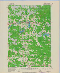
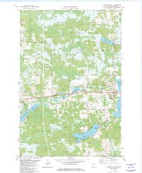
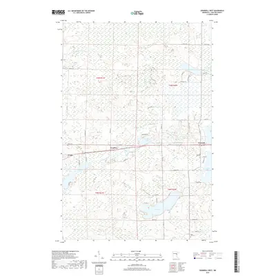
(29)- 1953 Map of Duluth, 1964 Print
 1953 Duluth1964 Print · USGSNortheastern Minnesota and northwestern Wisconsin are shown here during a period of industrial maturity and expanding conservation. Genealogists and historians can trace rail-connected towns like McGrath and Wahkon, or locate heritage sites within the Fond du Lac Indian Reservation.2 unique versions available
 - 1958 Map of Duluth
 1958 Duluth1958 Print · USGSNortheastern Minnesota and the Wisconsin borderlands are shown in detail during the late 1950s, centered on the bustling rail yards and ports of Duluth. You can trace the historic routes of the Soo Line and Duluth Missabe & Iron Range through small towns like McGrath, Bruno, and Wrenshall.
 - 1961 Map of Cromwell, 1963 Print
 1961 Cromwell1963 Print · USGSCarlton County in the early sixties remains a region of quiet rail towns and deep glacial lakes. Genealogists and historians can trace family roots through landmarks like Finnish Ch, Kalevala Sch, and the West Branch Cem.2 unique versions available
 - 1963 Map of Prairie Lake, 1964 Print
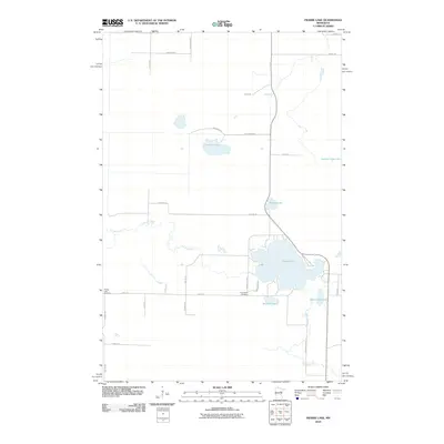
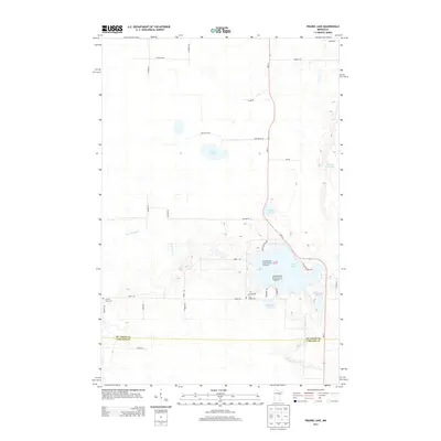
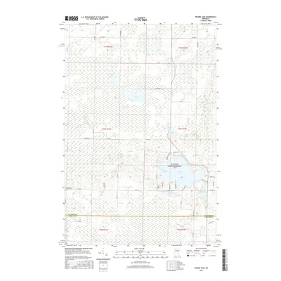
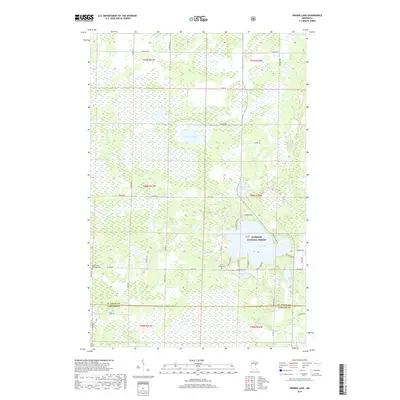
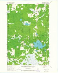 1963 Prairie Lake1964 Print · USGSNorthern Minnesota lake country is captured here in the early sixties, showing the rural townships of Halden and Floodwood. Genealogists and local historians can trace family-named sites like Moberg Lake, find the old Townhall, and locate both the Prairie Lake Cem and Fine Lake Cem.
 - 1970 Map of Little Prairie Lake, 1972 Print
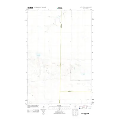
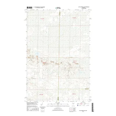
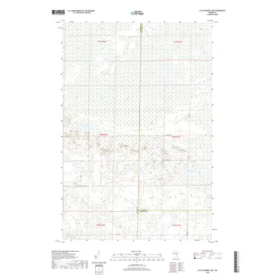
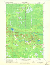 1970 Little Prairie Lake1972 Print · USGSThe northern Minnesota wilderness at the junction of three counties is captured here in the early seventies. Outdoorsmen and historians can trace the paths of the Snowmobile Trail and Winter Trail near Little Prairie Lake and the Savanna River.
 - 1970 Map of Wright, 1972 Print
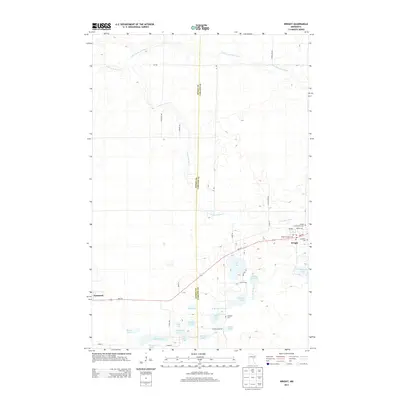
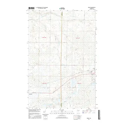
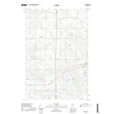
 1970 Wright1972 Print · USGSCarlton County and Aitkin County meet in the early 1970s amid a dense network of timberlands and northern lakes. Researchers can trace family history through landmarks like Lakeside Cem and Wright, or follow the Burlington Northern corridor through the Savanna State Forest.2 unique versions available
 - 1980 Map of Duluth
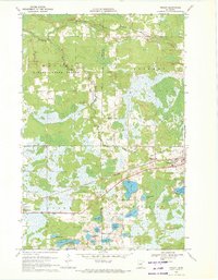
 1980 Duluth1980 Print · USGSThe Twin Ports of the early 1980s showcase a landscape defined by heavy rail lines and Lake Superior shipping. Trace the iron-ore routes through Proctor or locate family sites near Sunrise Memorial Cem and Floodwood.
 - 1982 Map of Cromwell West
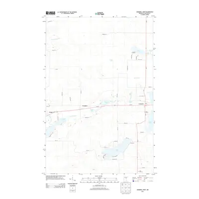
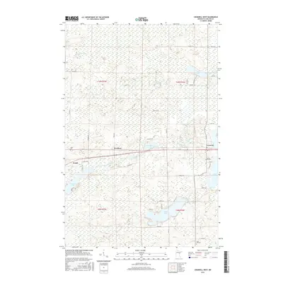
 1982 Cromwell West1982 Print · USGSNorthern Minnesota wetlands and timberlands define this 1980s survey of Carlton County as the railroad era matured. Genealogists and historians can trace family-named routes like Krogh Road and locate rural landmarks such as Violet Cem and Eagle Lake.
 - 1994 Map of Aitkin
 1994 Aitkin1994 Print · USGSIn the mid-1990s, the lake country of central Minnesota remained a patchwork of state forests and rail-linked settlements. Researchers can trace the legacy of the Soo Line through towns like McGregor and Aitkin, or explore the vast reaches of the Savanna State Forest and Rice Lake.
 - 2010 Map of Little Prairie Lake, 2010 Print
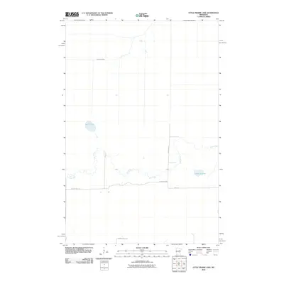 2010 Little Prairie Lake2010 Print · USGSCovers Beseman Township, including Saint Louis County, Carlton County, and other nearby areas
 - 2010 Map of Cromwell West, 2010 Print
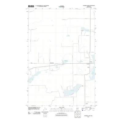 2010 Cromwell West2010 Print · USGSCovers Beseman Township, including Cromwell, Wright, and other nearby areas
 - 2010 Map of Wright, 2010 Print
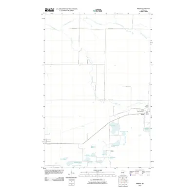 2010 Wright2010 Print · USGSCovers Beseman Township, including Wright, Tamarack, and other nearby areas
 - 2010 Map of Prairie Lake, 2010 Print
 2010 Prairie Lake2010 Print · USGSCovers Beseman Township, including North Carlton, Saint Louis County, and other nearby areas
 - 2013 Map of Little Prairie Lake, 2013 Print
 2013 Little Prairie Lake2013 Print · USGSCovers Beseman Township, including Saint Louis County, Carlton County, and other nearby areas
 - 2013 Map of Prairie Lake, 2013 Print
 2013 Prairie Lake2013 Print · USGSCovers Beseman Township, including North Carlton, Saint Louis County, and other nearby areas
 - 2013 Map of Cromwell West, 2013 Print
 2013 Cromwell West2013 Print · USGSCovers Beseman Township, including Cromwell, Wright, and other nearby areas
 - 2013 Map of Wright, 2013 Print
 2013 Wright2013 Print · USGSCovers Beseman Township, including Wright, Tamarack, and other nearby areas
 - 2016 Map of Little Prairie Lake, 2016 Print
 2016 Little Prairie Lake2016 Print · USGSCovers Beseman Township, including Saint Louis County, Carlton County, and other nearby areas
 - 2016 Map of Wright, 2016 Print
 2016 Wright2016 Print · USGSCovers Beseman Township, including Wright, Tamarack, and other nearby areas
 - 2016 Map of Cromwell West, 2016 Print
 2016 Cromwell West2016 Print · USGSCovers Beseman Township, including Cromwell, Wright, and other nearby areas
 - 2016 Map of Prairie Lake, 2016 Print
 2016 Prairie Lake2016 Print · USGSCovers Beseman Township, including North Carlton, Saint Louis County, and other nearby areas
 - 2019 Map of Wright, 2019 Print
 2019 Wright2019 Print · USGSCovers Beseman Township, including Wright, Tamarack, and other nearby areas
 - 2019 Map of Little Prairie Lake, 2019 Print
 2019 Little Prairie Lake2019 Print · USGSCovers Beseman Township, including Saint Louis County, Carlton County, and other nearby areas
 - 2019 Map of Prairie Lake, 2019 Print
 2019 Prairie Lake2019 Print · USGSCovers Beseman Township, including North Carlton, Saint Louis County, and other nearby areas
 - 2019 Map of Cromwell West, 2019 Print
 2019 Cromwell West2019 Print · USGSCovers Beseman Township, including Cromwell, Wright, and other nearby areas
Showing maps 1-25 of 29
Top cities near Beseman Township
- Floodwood historical maps
- Cromwell historical maps
- Automba historical maps
- Wright historical maps
- Tamarack historical maps
- Balsam historical maps
Frequently asked questions
- What are the different types of historical maps available for Beseman Township?
- What is the oldest map of Beseman Township?
- Where can I purchase historical maps of Beseman Township for my home or office?
- Where can I download high-res historical maps of Beseman Township?
- Are there historical topographic maps available for Beseman Township?
- Is there historical aerial imagery available for Beseman Township?
- Where are historical maps of Beseman Township sourced from?