Old Maps of Clara City, Minnesota for Genealogy
Trace your family roots with 17 historic maps of Clara City. These high-res maps reveal old neighborhoods, homesites, landmarks, and streets — helping you uncover where your ancestors lived and how the area evolved over time.
- Explore historic neighborhoods: Identify where your relatives may have lived in the 1800s or 1900s.
- Compare maps over time: Trace the changes in streets, buildings, and landmarks for multi-generational research.
- Perfect for genealogy & ancestry research: Used by family historians and researchers to map out lineage and migration.
These maps are an incredible resource for exploring your personal connection to Clara City's past.
Clara City, MN maps
(17)- 1953 Map of New Ulm, 1968 Print
 1953 New Ulm1968 Print · USGSSouthern Minnesota in the mid-1950s is defined by its deep river valleys and the expanding reach of the Great Northern and Chicago and North Western railroads. Researchers can trace rural lineages through landmarks like the Milford State Monument, St. John's Ch, and the Upper Sioux Indian Res.3 unique versions available
 - 1957 Map of New Ulm
 1957 New Ulm1957 Print · USGSCentral Minnesota in the mid-fifties remains a landscape of river-valley commerce and prairie agriculture defined by its historic mission sites and rail towns. Genealogists and local historians can trace the development of New Ulm and Montevideo, or locate specific landmarks like the Milford State Monument and Minnesota Falls.
 - 1958 Map of New Ulm
 1958 New Ulm1958 Print · USGSSouth-central Minnesota’s river valleys and prairie towns are captured here in the mid-fifties, during the height of the region's rail-and-river economy. Genealogists and historians can trace the legacy of the Upper Sioux Indian Mission or locate early rail stops along the Chicago and North Western Ry in towns like Redwood Falls and Glencoe.
 - 1965 Map of Maynard, 1966 Print
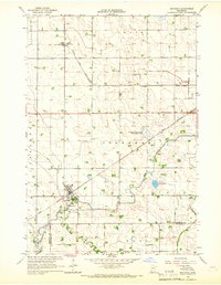 1965 Maynard1966 Print · USGSIn the mid-1960s, this portion of Chippewa County was a busy rail intersection for the local agricultural economy. Researchers can trace the tracks of the Great Northern and find local landmarks like Gluek (Wesota Sta) and Wang Ch.
 - 1965 Map of Clara City, 1966 Print
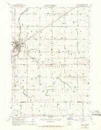 1965 Clara City1966 Print · USGSRailroad and agricultural development define this western Minnesota landscape in the mid-sixties, where the Great Northern and Chicago and North Western lines intersect at Clara City. Genealogists and local historians can trace the early townships of Rheiderland and Ericson, locating family sites near Bunde or the Bethany Cem.
 - 1967 Map of New Ulm
 1967 New Ulm1967 Print · USGSSouthern Minnesota in the mid-fifties is captured here as a landscape of river-valley missions and busy prairie rail towns. Researchers can trace the Yellow Medicine Trail and locate historic sites like the Morton Indian Mission and Milford State Monument.
 - 1986 Map of Montevideo
 1986 Montevideo1986 Print · USGSWestern Minnesota’s river valleys and prairie townships are captured here in the mid-eighties, showing the region's agricultural and rail network. Trace family roots and local history through Montevideo, Granite Falls, and the Upper Sioux Agency State Park.2 unique versions available
 - 2010 Map of Clara City, 2010 Print
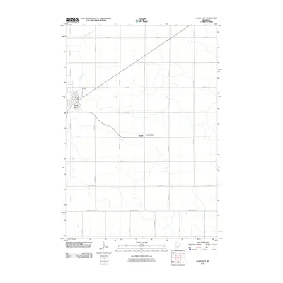 2010 Clara City2010 Print · USGSChippewa County agriculture and small-town life are documented here during the first decade of the millennium. Genealogists and local historians can locate specific landmarks including Bethany Cemetery, the Clara City Post Office, and the rural Bunde community.
 - 2010 Map of Maynard, 2010 Print
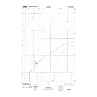 2010 Maynard2010 Print · USGSChippewa County agriculture and prairie settlements are captured here in the early twenty-first century. Genealogists and local historians can trace the streets of Maynard, find the Maynard Post Office, or locate the Wang Lutheran Church Cemetery.
 - 2013 Map of Clara City, 2013 Print
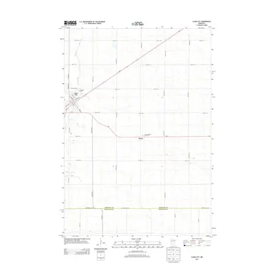 2013 Clara City2013 Print · USGSThe agricultural plains of Chippewa County are captured here in the early twenty-first century as modern transit routes follow old section lines. Genealogists can locate family sites near Clara City or trace burials at Bethany Cem and the Christian Reform Church Cem.
 - 2013 Map of Maynard, 2013 Print
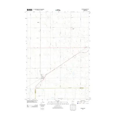 2013 Maynard2013 Print · USGSMaynard and the surrounding prairie lands of Chippewa and Renville Counties are captured here in the early twenty-first century. Researchers can locate the Wang Lutheran Church Cem, the settlement of Gluek, and local landmarks like Howard's Airport.
 - 2016 Map of Clara City, 2016 Print
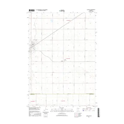 2016 Clara City2016 Print · USGSClara City and the surrounding prairie lands appear here in the mid-2010s, showing a meticulously gridded landscape of farms and small settlements. Researchers can locate family sites near Bunde, the Christian Reform Church, or the Bethany Cem.
 - 2016 Map of Maynard, 2016 Print
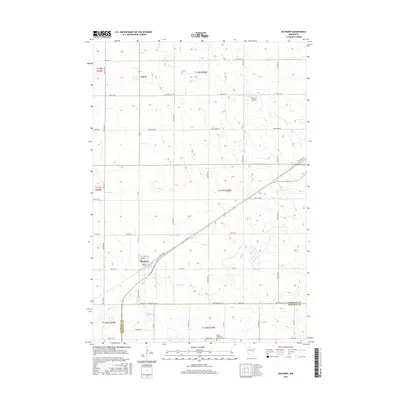 2016 Maynard2016 Print · USGSThe agricultural plains of Chippewa County are captured here in the mid-2010s as traditional township grids meet diagonal rail corridors. Genealogists and local historians can locate Maynard, Gluek, and the Wang Lutheran Church Cem along the Renville County line.
 - 2019 Map of Clara City, 2019 Print
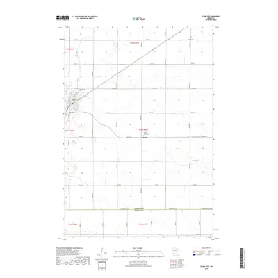 2019 Clara City2019 Print · USGSThe prairie landscape around Clara City and the settlement at Bunde are shown during a period of modern agricultural stability. Genealogists can trace family landmarks like Bethany Cem and the Christian Reform Church Cem along the Chippewa and Renville border.
 - 2019 Map of Maynard, 2019 Print
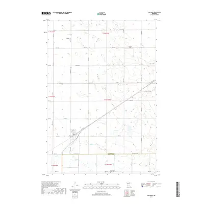 2019 Maynard2019 Print · USGSThe rural landscape of Chippewa County in the late 2010s is captured here, centered on the communities of Maynard and Clara City. Researchers can locate the Wang Lutheran Church Cem or trace the winding course of Hawk Cr through the local prairie.
 - 2022 Map of Maynard, 2022 Print
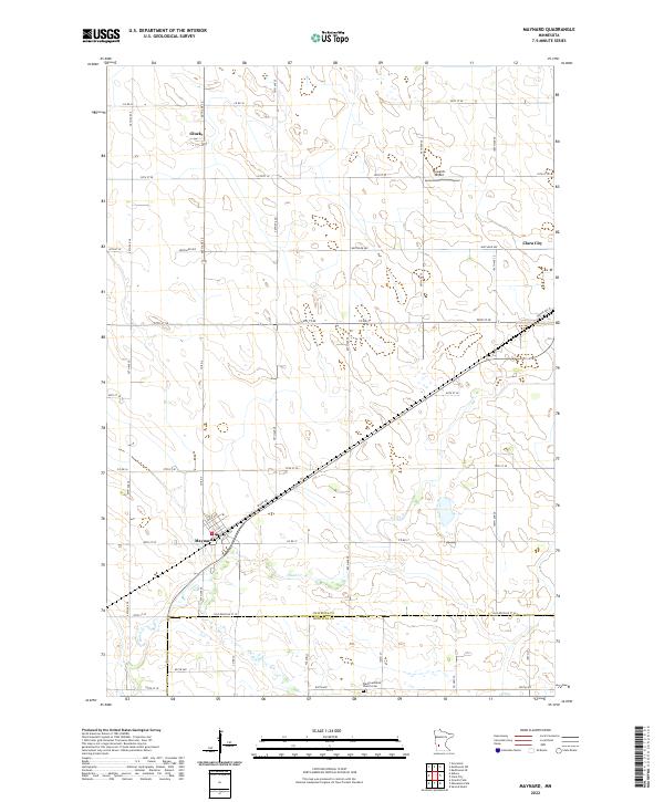 2022 Maynard2022 Print · USGSSettled farmland along the border of Chippewa and Renville counties defines this area in the early twenty-first century. Researchers can trace the drainage of Hawk Cr and locate historical community anchors like the Wang Lutheran Church Cem and Gluek.
 - 2022 Map of Clara City, 2022 Print
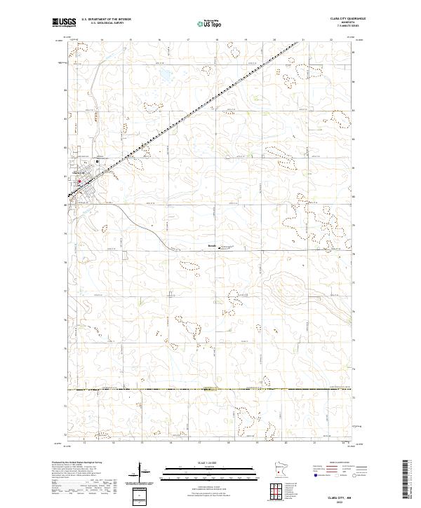 2022 Clara City2022 Print · USGSModern Minnesota prairie life is centered on Clara City and the agricultural lands of Chippewa Co in this recent survey. Local historians can trace family roots through landmarks like Bethany Reformed Cem and the quiet settlement of Bunde.
End of results
Showing maps 1-17 of 17
Top cities near Clara City
- Willmar historical maps
- Granite Falls historical maps
- Renville historical maps
- Raymond historical maps
- Sacred Heart historical maps
- Pennock historical maps
See more
Frequently asked questions
- What are the different types of historical maps available for Clara City?
- What is the oldest map of Clara City?
- Where can I purchase historical maps of Clara City for my home or office?
- Where can I download high-res historical maps of Clara City?
- Are there historical topographic maps available for Clara City?
- Is there historical aerial imagery available for Clara City?
- Where are historical maps of Clara City sourced from?