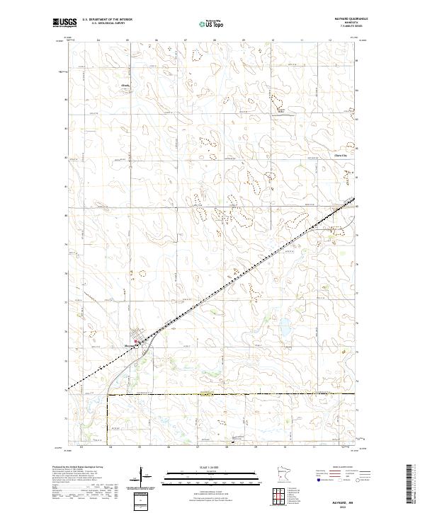
2022 Map of Maynard
USGS Topo · Published 2022About this map
The town of Maynard and the surrounding prairie landscape of the Minnesota River Valley watershed define this agricultural region. This survey highlights the intersection of the county line between Chippewa Co and Renville Co, where the rural grid is anchored by the Wang Lutheran Church Cem in the south. The terrain is marked by the winding course of Hawk Cr, which cuts through the rectilinear farming plots toward the southwestern corner of the sheet. Modern transportation corridors like Spicer Ave and Center Ave W connect the primary settlements of Clara City and the smaller grain-handling hub of Gluek. A notable local landmark, Howard's Airport, occupies a section of land north of the main thoroughfares, illustrating the transition from traditional rail-side commerce to aerial agricultural services.
Find a feature on this map
34 named features on this map. Tap any name to fly to it.
Don’t see what you’re looking for? This feature index may not catch every label — zoom into the map to look around manually.
Map Details
Editions of this 2022 Maynard Map
This is the sole edition of this map. No revisions or reprints were ever made.
Other maps of this area

1953 · New Ulm
USGS Topo · 1:250,000

1953 · Saint Cloud
USGS Topo · 1:250,000

1957 · Saint Cloud
USGS Topo · 1:250,000

1957 · New Ulm
USGS Topo · 1:250,000

1958 · New Ulm
USGS Topo · 1:250,000

1958 · Saint Cloud
USGS Topo · 1:250,000

1958 · Kerkhoven SE
USGS Topo · 1:24,000

1958 · Kerkhoven SW
USGS Topo · 1:24,000

1958 · Gracelock
USGS Topo · 1:24,000

1965 · Asbury
USGS Topo · 1:24,000