
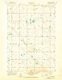
1958 Map of Gracelock
USGS Topo · Published 1960About this map
Gracelock serves as a small anchor point for this agricultural landscape in the late 1950s, located at the intersection of the Grace, Havelock, Mandt, and Rosewood townships. The map reveals a highly organized rural infrastructure, dominated by a grid of country schools like School No 302 and School No 315, alongside several religious centers including Havelock Ch and its adjacent Cem. This distribution of public buildings suggests a era when local social life was still deeply rooted in small township districts rather than consolidated towns.
Find a feature on this map
19 named features on this map. Tap any name to fly to it.
Don’t see what you’re looking for? This feature index may not catch every label — zoom into the map to look around manually.
Map Details
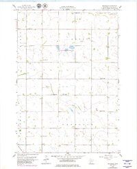
Editions of this 1958 Gracelock Map
3 editions found
Other maps of this area

1953 · New Ulm
USGS Topo · 1:250,000

1953 · Saint Cloud
USGS Topo · 1:250,000

1957 · Saint Cloud
USGS Topo · 1:250,000

1957 · New Ulm
USGS Topo · 1:250,000

1958 · New Ulm
USGS Topo · 1:250,000

1958 · Saint Cloud
USGS Topo · 1:250,000

1958 · Murdock
USGS Topo · 1:24,000

1958 · Gracelock NE
USGS Topo · 1:24,000

1958 · Kerkhoven SW
USGS Topo · 1:24,000

1958 · Gracelock NW
USGS Topo · 1:24,000