
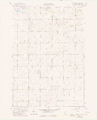
1958 Map of Kerkhoven SW
USGS Topo · Published 1959About this map
Louriston and Crate townships define the agricultural landscape of this Chippewa County region during the late 1950s. The map reveals a highly structured rural society organized around section lines, with social life anchored by institutions like Buffalo Lake Ch, Zion Ch, and the Township Cem. Education in this period was still localized, as evidenced by the presence of School No 298 and School No 307, marking the final era of such distributed rural schoolhouses before widespread consolidation.
Find a feature on this map
12 named features on this map. Tap any name to fly to it.
Don’t see what you’re looking for? This feature index may not catch every label — zoom into the map to look around manually.
Map Details
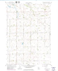
Editions of this 1958 Kerkhoven SW Map
3 editions found
Other maps of this area

1953 · New Ulm
USGS Topo · 1:250,000

1953 · Saint Cloud
USGS Topo · 1:250,000

1957 · Saint Cloud
USGS Topo · 1:250,000

1957 · New Ulm
USGS Topo · 1:250,000

1958 · New Ulm
USGS Topo · 1:250,000

1958 · Saint Cloud
USGS Topo · 1:250,000

1958 · Murdock
USGS Topo · 1:24,000

1958 · Gracelock NE
USGS Topo · 1:24,000

1958 · Kerkhoven SE
USGS Topo · 1:24,000

1958 · Kerkhoven
USGS Topo · 1:24,000