
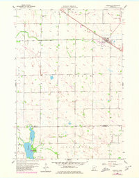
1958 Map of Murdock
USGS Topo · Published 1959About this map
Murdock serves as the primary hub on this late 1950s survey, positioned along the diagonal route of the Great Northern railroad. The landscape is defined by its transition from the township of Kildare in the north toward Louriston in the south, crossing the county line from Swift into Chippewa County. The topography is marked by glacial depression features and water bodies, most notably the meandering course of Shakopee Creek and the expanse of Shakopee Lake. Local history is anchored by sites like Calvary Cemetery on the edge of town, while the surrounding townships of Dublin, Hayes, and Cashel show the established grid of agricultural section lines that organized this part of the Minnesota prairie during the mid-century.
Find a feature on this map
12 named features on this map. Tap any name to fly to it.
Don’t see what you’re looking for? This feature index may not catch every label — zoom into the map to look around manually.
Map Details
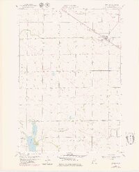
Editions of this 1958 Murdock Map
3 editions found
Other maps of this area

1953 · Saint Cloud
USGS Topo · 1:250,000

1957 · Saint Cloud
USGS Topo · 1:250,000

1958 · Saint Cloud
USGS Topo · 1:250,000

1958 · Gracelock NE
USGS Topo · 1:24,000

1958 · Kerkhoven SE
USGS Topo · 1:24,000

1958 · Kerkhoven
USGS Topo · 1:24,000

1958 · Kerkhoven SW
USGS Topo · 1:24,000

1958 · Gracelock
USGS Topo · 1:24,000

1968 · De Graff
USGS Topo · 1:24,000

1968 · Benson
USGS Topo · 1:24,000