
1958 Map of Kerkhoven
USGS Topo · Published 1959About this map
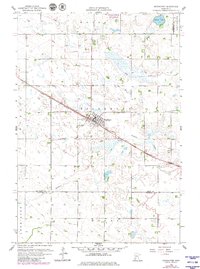
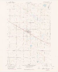
Kerkhoven serves as the central hub of this West Central Minnesota landscape, situated at the junction of the Great Northern railroad and the surrounding agricultural townships of Pillsbury and Hayes. The terrain is defined by a glacial prairie pothole environment, where numerous depressions and marshes feed into waterways like Mud Creek and Shakopee Creek. This 1958 survey captures the region just before significant changes in modern land drainage and road expansion, preserving the location of local landmarks such as Hillside Cem and West Salem Cem. The map illustrates the town’s grid oriented along the rail line, a common development pattern in the state's grain-farming regions. In the outlying areas, several Gravel Pits indicate local industry, while the boundaries of Louriston and Woods townships meet at the Swift and Chippewa County line.
Find a feature on this map
15 named features on this map. Tap any name to fly to it.
Don’t see what you’re looking for? This feature index may not catch every label — zoom into the map to look around manually.
Map Details
Editions of this 1958 Kerkhoven Map
3 editions found
Other maps of this area

1953 · Saint Cloud
USGS Topo · 1:250,000

1957 · Saint Cloud
USGS Topo · 1:250,000

1958 · Saint Cloud
USGS Topo · 1:250,000

1958 · Murdock
USGS Topo · 1:24,000

1958 · Kerkhoven SE
USGS Topo · 1:24,000

1958 · Kerkhoven SW
USGS Topo · 1:24,000

1958 · Raymond
USGS Topo · 1:24,000

1958 · Pennock
USGS Topo · 1:24,000

1967 · Sunburg
USGS Topo · 1:24,000

1968 · De Graff
USGS Topo · 1:24,000