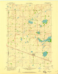
1958 Map of Pennock
USGS Topo · Published 1960About this map
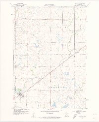
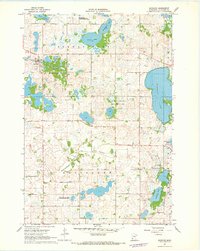
The Great Northern railway cuts a sharp diagonal through this Kandiyohi County landscape, centering on the small village of Pennock. This 1950s survey documents a quintessential Upper Midwest prairie environment, where drainage is defined by scattered glacial basins like West Solomon Lake, Lindgren Lake, and Swan Lake. The pattern of rural life is clearly etched into the township grids, marked by early social centers such as the Town Hall in Mamre and several country schools including School No 761 North and School No 761 South.
Find a feature on this map
27 named features on this map. Tap any name to fly to it.
Don’t see what you’re looking for? This feature index may not catch every label — zoom into the map to look around manually.
Map Details
Editions of this 1958 Pennock Map
2 editions found
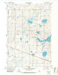
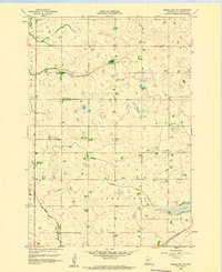
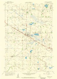
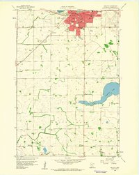
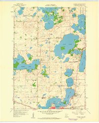
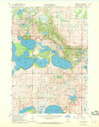
Other maps of this area

1953 · Saint Cloud
USGS Topo · 1:250,000

1957 · Saint Cloud
USGS Topo · 1:250,000

1958 · Saint Cloud
USGS Topo · 1:250,000
1958 · Kerkhoven SE
USGS Topo · 1:24,000
1958 · Kerkhoven
USGS Topo · 1:24,000
1958 · Raymond
USGS Topo · 1:24,000
1958 · Willmar
USGS Topo · 1:24,000
1958 · Solomon Lake
USGS Topo · 1:24,000
1967 · Mount Tom
USGS Topo · 1:24,000
1967 · Sunburg
USGS Topo · 1:24,000