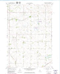
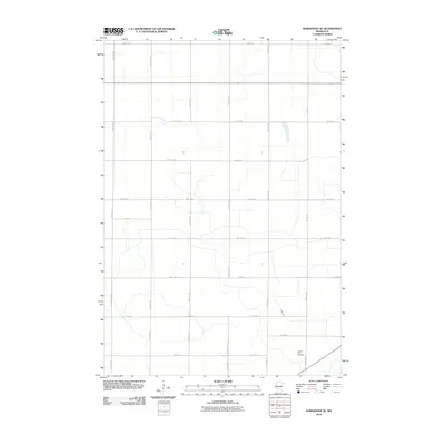
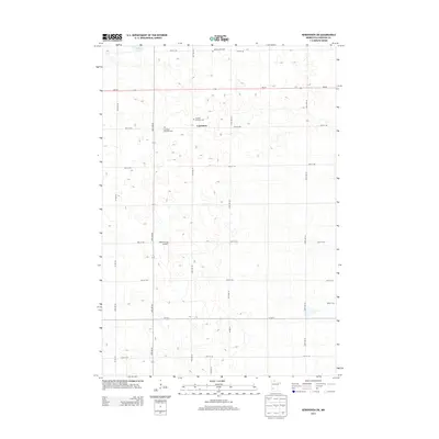
1958 Map of Gracelock
USGS Topo · Published 1980About this map
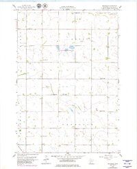
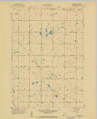
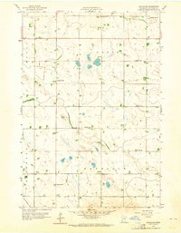
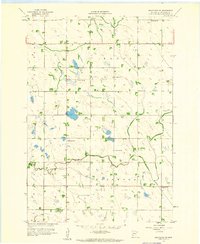
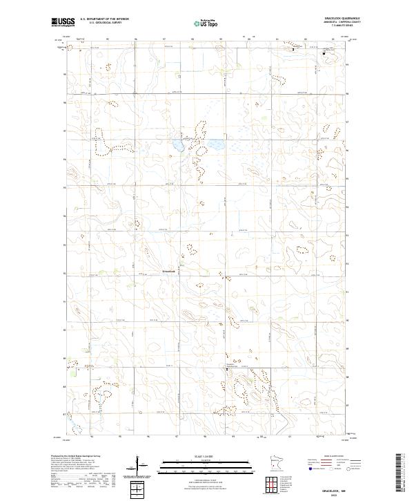
Gracelock serves as the central point of reference in this landscape defined by the agricultural and conservation patterns of the mid-20th century. The territory is organized into the townships of Mandt, Grace, Rosewood, and Havelock, where a dense network of local landmarks indicates a settled rural community. Genealogy interests are well-served by the presence of numerous country institutions, including Havelock Ch and its accompanying Havelock Cem, as well as Rosewood Ch and Buffalo Lake Ch.
Find a feature on this map
25 named features on this map. Tap any name to fly to it.
Don’t see what you’re looking for? This feature index may not catch every label — zoom into the map to look around manually.
Map Details
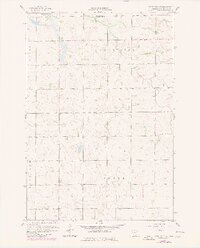
Editions of this 1958 Gracelock Map
3 editions found
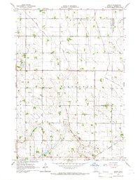
Historical Maps of Gracelock Through Time
30 maps found
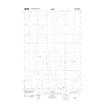
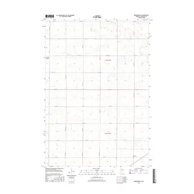
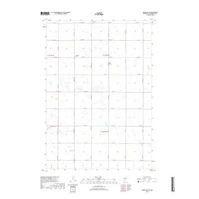
1958 Gracelock
Chippewa County, MN
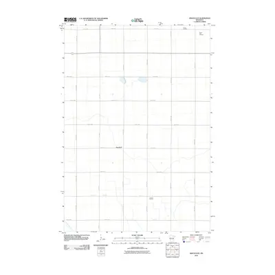
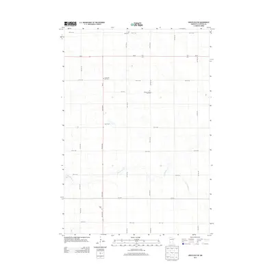
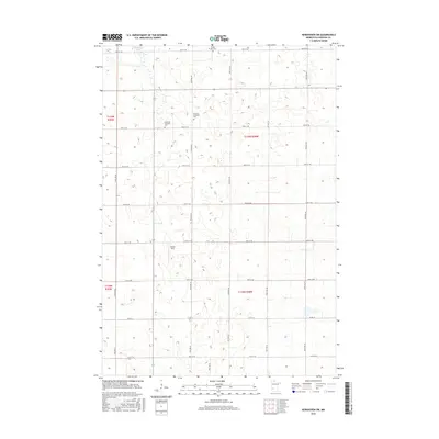
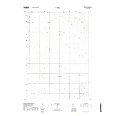
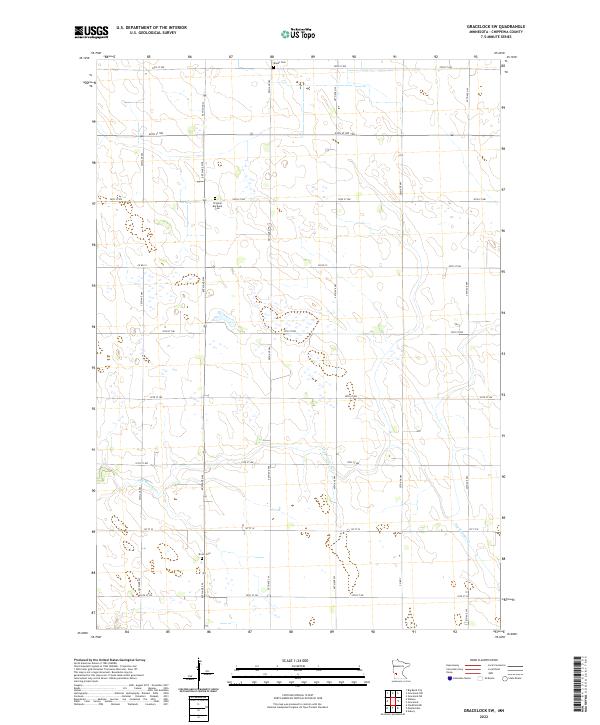
1958 Gracelock SW
Chippewa County, MN
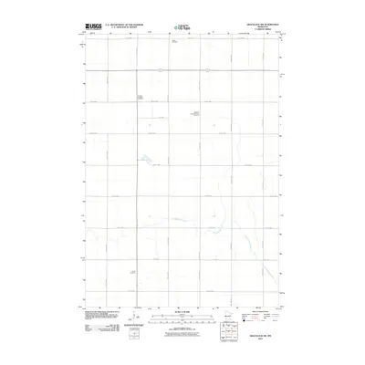
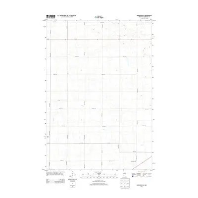
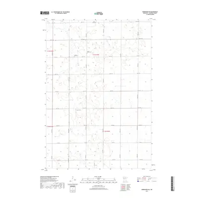
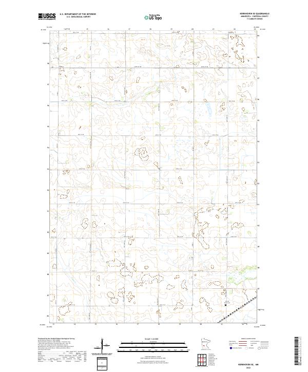
1958 Kerkhoven SE
Chippewa County, MN
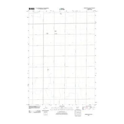
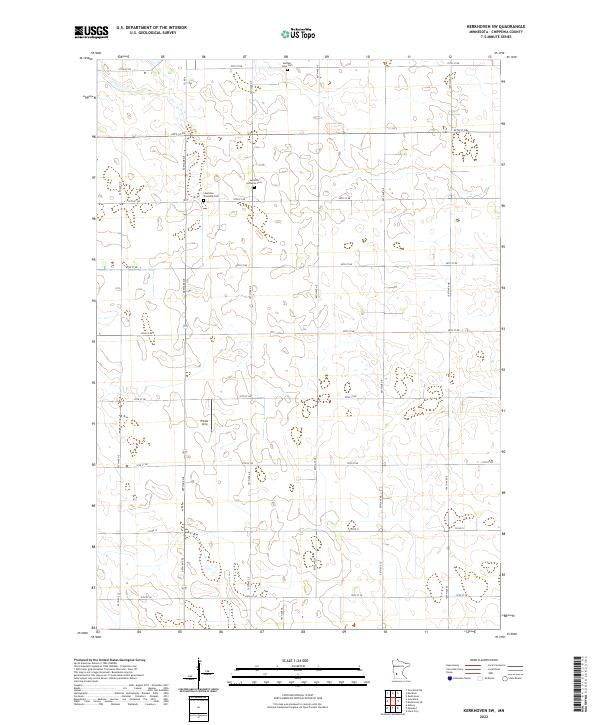
1958 Kerkhoven SW
Chippewa County, MN
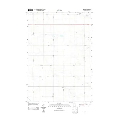
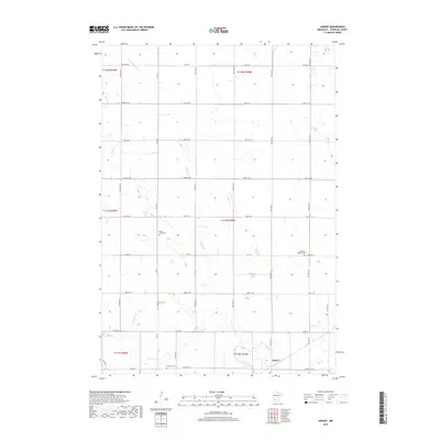
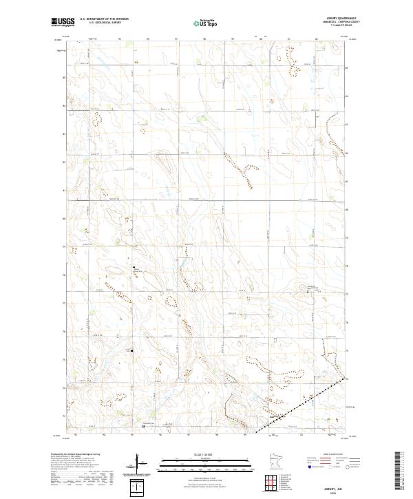
1965 Asbury
Chippewa County, MN
2010 Asbury
Chippewa County, MN
2010 Gracelock
Chippewa County, MN
2010 Gracelock SW
Chippewa County, MN
2010 Kerkhoven SE
Chippewa County, MN
2010 Kerkhoven SW
Chippewa County, MN
2013 Asbury
Chippewa County, MN
2013 Gracelock
Chippewa County, MN
2013 Gracelock SW
Chippewa County, MN
2013 Kerkhoven SE
Chippewa County, MN
2013 Kerkhoven SW
Chippewa County, MN
2016 Asbury
Chippewa County, MN
2016 Gracelock
Chippewa County, MN
2016 Gracelock SW
Chippewa County, MN
2016 Kerkhoven SE
Chippewa County, MN
2016 Kerkhoven SW
Chippewa County, MN
2019 Asbury
Chippewa County, MN
2019 Gracelock
Chippewa County, MN
2019 Gracelock SW
Chippewa County, MN
2019 Kerkhoven SE
Chippewa County, MN
2019 Kerkhoven SW
Chippewa County, MN
2022 Asbury
Chippewa County, MN
2022 Gracelock
Chippewa County, MN
2022 Gracelock SW
Chippewa County, MN
2022 Kerkhoven SE
Chippewa County, MN
2022 Kerkhoven SW
Chippewa County, MN