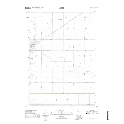
2019 Map of Clara City
USGS Topo · Published 2019About this map
Clara City serves as the primary hub of this west-central Minnesota landscape, situated at the intersection of several significant regional routes including Co Rd 2 and Watchler Ave. The town’s grid is clearly defined by residential streets like 1st St NE and Division St N, while the outskirts are marked by legacy sites such as Bethany Cem. South and east of the main settlement, the land transitions into a sprawling agricultural grid defined by the Chippewa and Renville county line.
Find a feature on this map
49 named features on this map. Tap any name to fly to it.
Don’t see what you’re looking for? This feature index may not catch every label — zoom into the map to look around manually.
Map Details
Editions of this 2019 Clara City Map
This is the sole edition of this map. No revisions or reprints were ever made.
Other maps of this area

1953 · New Ulm
USGS Topo · 1:250,000

1953 · Saint Cloud
USGS Topo · 1:250,000

1957 · Saint Cloud
USGS Topo · 1:250,000

1957 · New Ulm
USGS Topo · 1:250,000

1958 · New Ulm
USGS Topo · 1:250,000

1958 · Saint Cloud
USGS Topo · 1:250,000

1958 · Kerkhoven SE
USGS Topo · 1:24,000

1958 · Kerkhoven SW
USGS Topo · 1:24,000

1958 · Raymond
USGS Topo · 1:24,000
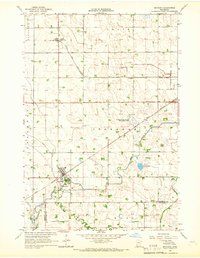
1965 · Maynard
USGS Topo · 1:24,000