2000s (21st Century) Maps of Moorhead, Minnesota
Explore 20 historic maps of Moorhead from the 2000s (21st Century). These maps offer a rare glimpse into what life looked like during the 2000s — showing old roads, neighborhoods, homes, and landmarks that have changed or disappeared over time.
Whether you're researching your family's past, planning a metal detecting trip, or studying how Moorhead's landscape evolved across the 2000s, these high-resolution maps are a powerful tool for exploring the history of this region.
- Focus on a specific era: All maps on this page are from the 2000s, giving you a focused view of this time period.
- See what’s changed: Compare century-old streets, trails, and buildings to today's modern landscape using overlays and satellite layers.
- Research with precision: Use these maps for genealogy, historical research, land use analysis, or educational projects.
- View, download, or print: Maps are fully viewable online in high resolution, and can be downloaded or printed for your own records.
Start exploring Moorhead's history through authentic maps from the 2000s. This is your window into the past.
Moorhead, MN maps
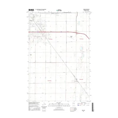
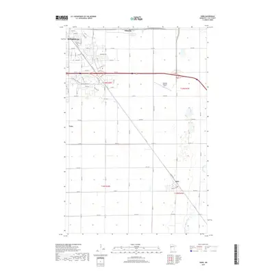
(20)- 2010 Map of Sabin, 2010 Print
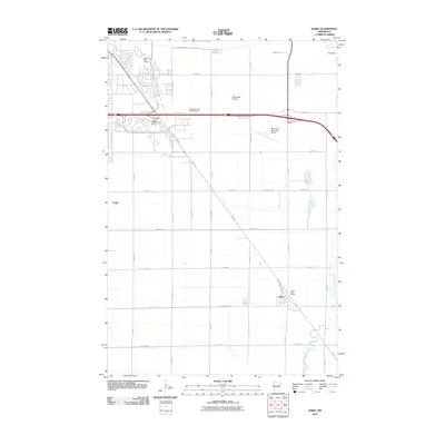 2010 Sabin2010 Print · USGSCovers Moorhead, including Dilworth, Sabin, and other nearby areas
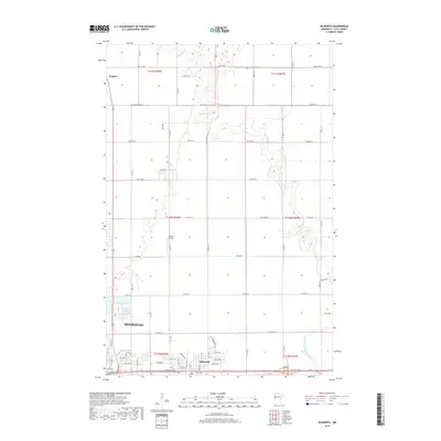
 - 2010 Map of Dilworth, 2010 Print
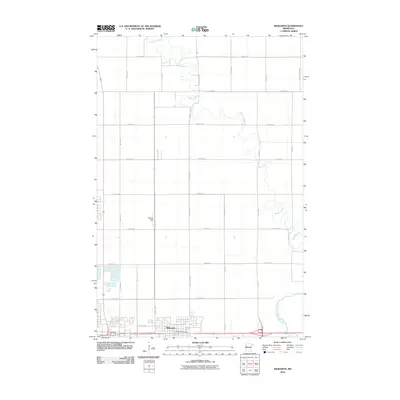 2010 Dilworth2010 Print · USGSCovers Moorhead, including Dilworth, Villa di Sole Mobile Park, and other nearby areas
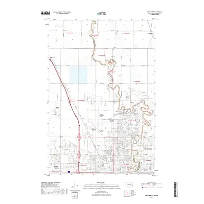
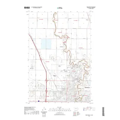
 - 2011 Map of Fargo South, 2011 Print
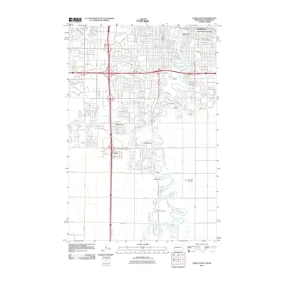 2011 Fargo South2011 Print · USGSCovers Moorhead, including Fargo, West Fargo, and other nearby areas
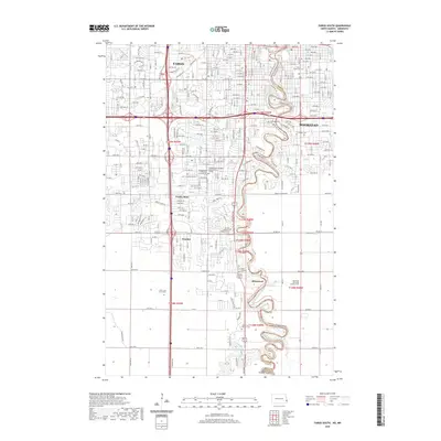
 - 2011 Map of Fargo North, 2011 Print
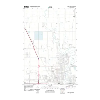 2011 Fargo North2011 Print · USGSCovers Moorhead, including Fargo, West Fargo, and other nearby areas
 - 2013 Map of Sabin, 2013 Print
 2013 Sabin2013 Print · USGSCovers Moorhead, including Dilworth, Sabin, and other nearby areas
 - 2013 Map of Dilworth, 2013 Print
 2013 Dilworth2013 Print · USGSCovers Moorhead, including Dilworth, Villa di Sole Mobile Park, and other nearby areas
 - 2014 Map of Fargo South, 2014 Print
 2014 Fargo South2014 Print · USGSCovers Moorhead, including Fargo, West Fargo, and other nearby areas
 - 2014 Map of Fargo North, 2014 Print
 2014 Fargo North2014 Print · USGSCovers Moorhead, including Fargo, West Fargo, and other nearby areas
 - 2016 Map of Sabin, 2016 Print
 2016 Sabin2016 Print · USGSCovers Moorhead, including Dilworth, Sabin, and other nearby areas
 - 2016 Map of Dilworth, 2016 Print
 2016 Dilworth2016 Print · USGSCovers Moorhead, including Dilworth, Villa di Sole Mobile Park, and other nearby areas
 - 2018 Map of Fargo North, 2018 Print
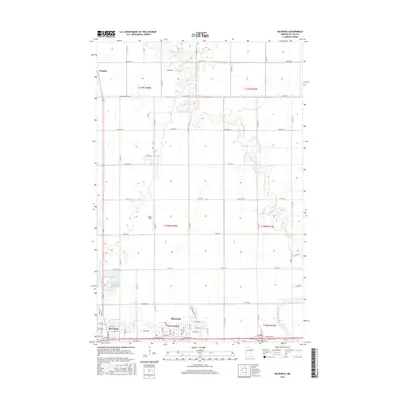
 2018 Fargo North2018 Print · USGSCovers Moorhead, including Fargo, West Fargo, and other nearby areas
 - 2018 Map of Fargo South, 2018 Print
 2018 Fargo South2018 Print · USGSCovers Moorhead, including Fargo, West Fargo, and other nearby areas
 - 2019 Map of Sabin, 2019 Print
 2019 Sabin2019 Print · USGSCovers Moorhead, including Dilworth, Sabin, and other nearby areas
 - 2019 Map of Dilworth, 2019 Print
 2019 Dilworth2019 Print · USGSCovers Moorhead, including Dilworth, Villa di Sole Mobile Park, and other nearby areas
 - 2020 Map of Fargo North, 2020 Print
 2020 Fargo North2020 Print · USGSCovers Moorhead, including Fargo, West Fargo, and other nearby areas
 - 2020 Map of Fargo South, 2020 Print
 2020 Fargo South2020 Print · USGSCovers Moorhead, including Fargo, West Fargo, and other nearby areas
 - 2022 Map of Sabin, 2022 Print
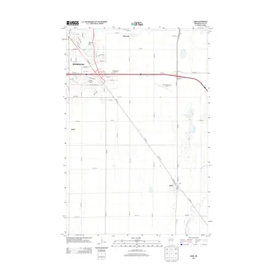
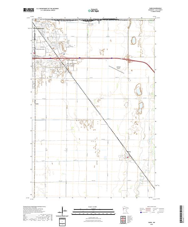 2022 Sabin2022 Print · USGSClay County's transition from urban edge to agricultural heartland is documented here in the early 2020s. Genealogists and local historians can trace modern developments near Moorhead or explore the smaller communities of Sabin and Finkle.
 - 2022 Map of Dilworth, 2022 Print
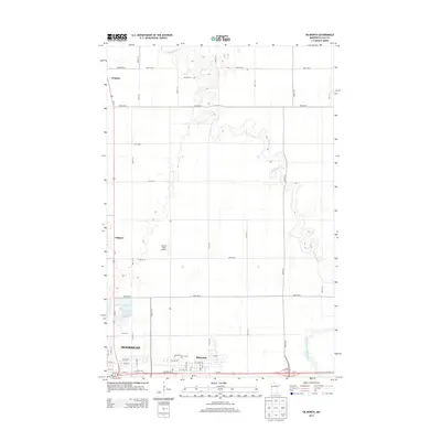
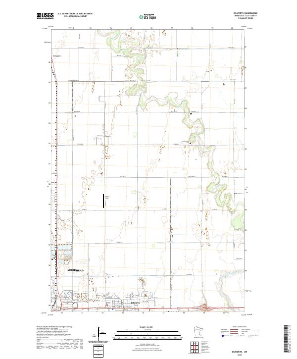 2022 Dilworth2022 Print · USGSClay County at the start of the 2020s shows the continued growth of the Red River Valley. Local researchers can trace family landmarks like Concordia Cem or the rural character of Kragnes and the winding Buffalo River corridor.
 - 2024 Map of Fargo North, 2024 Print
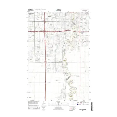
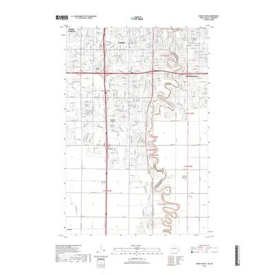
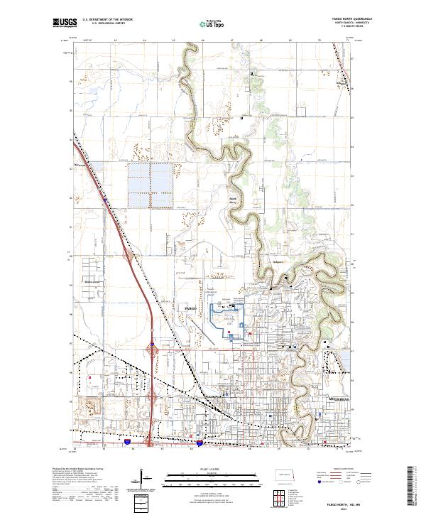 2024 Fargo North2024 Print · USGSFargo and Moorhead flank the winding Red River in this recent survey of the North Dakota-Minnesota borderlands. Genealogists and historians can locate numerous burial grounds like Springvale Cem and Oak Mound Cem, alongside the North Dakota State University campus.
 - 2024 Map of Fargo South, 2024 Print
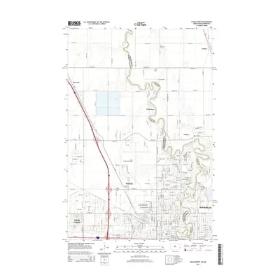
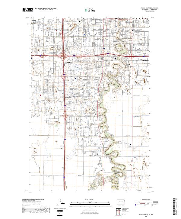 2024 Fargo South2024 Print · USGSThe Fargo-Moorhead borderlands in the early 2020s show a sophisticated urban corridor anchored by the Red River of the North. Researchers can trace the development of institutional landmarks like Concordia College and numerous historic grounds including Riverside Cem.
End of results
Showing maps 1-20 of 20
Top cities near Moorhead
- Fargo historical maps
- West Fargo historical maps
- Dilworth historical maps
- Horace historical maps
- Glyndon historical maps
- Harwood historical maps
See more
Top neighborhoods of Moorhead
- McCann's 1st Subdivision historical maps
- North Crystal Creek 1st Subdivision historical maps
- Oelke's historical maps
- Replat L10 B1 Brentwood Acres historical maps
- Rolyn Acres historical maps
- Brentwood Acres 2nd Addition historical maps
See more
Frequently asked questions
- What are the different types of historical maps available for Moorhead?
- What is the oldest map of Moorhead?
- Where can I purchase historical maps of Moorhead for my home or office?
- Where can I download high-res historical maps of Moorhead?
- Are there historical topographic maps available for Moorhead?
- Is there historical aerial imagery available for Moorhead?
- Where are historical maps of Moorhead sourced from?