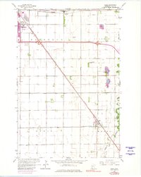
2022 Map of Sabin
USGS Topo · Published 2022About this map
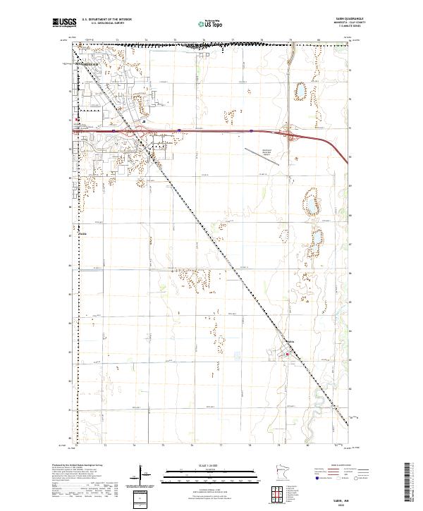
The southeastern outskirts of Moorhead and the adjacent city of Dilworth transition into the expansive agricultural landscape of Clay County in this 2022 survey. This area serves as a vital corridor for education and regional infrastructure, anchored by the Minnesota State Community and Technical College - Moorhead campus and the Moorhead Municipal Airport further east. The map captures a well-defined grid of township roads and county highways that organize the flat Red River Valley terrain, supporting the small settlements of Sabin and Finkle. The meandering S Br Buffalo River provides a sharp contrast to the geometric precision of the surrounding sections and transportation routes like Co Hwy 52, illustrating the relationship between the prairie's natural drainage and the highly engineered local road network.
Find a feature on this map
40 named features on this map. Tap any name to fly to it.
Don’t see what you’re looking for? This feature index may not catch every label — zoom into the map to look around manually.
Map Details
Editions of this 2022 Sabin Map
This is the sole edition of this map. No revisions or reprints were ever made.