2000s (21st Century) Maps of Crosslake, Minnesota
Explore 10 historic maps of Crosslake from the 2000s (21st Century). These maps offer a rare glimpse into what life looked like during the 2000s — showing old roads, neighborhoods, homes, and landmarks that have changed or disappeared over time.
Whether you're researching your family's past, planning a metal detecting trip, or studying how Crosslake's landscape evolved across the 2000s, these high-resolution maps are a powerful tool for exploring the history of this region.
- Focus on a specific era: All maps on this page are from the 2000s, giving you a focused view of this time period.
- See what’s changed: Compare century-old streets, trails, and buildings to today's modern landscape using overlays and satellite layers.
- Research with precision: Use these maps for genealogy, historical research, land use analysis, or educational projects.
- View, download, or print: Maps are fully viewable online in high resolution, and can be downloaded or printed for your own records.
Start exploring Crosslake's history through authentic maps from the 2000s. This is your window into the past.
Crosslake, MN maps
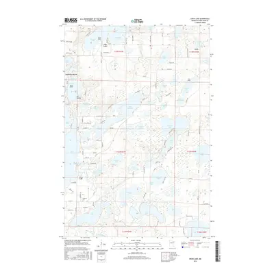
(10)- 2010 Map of Cross Lake, 2010 Print
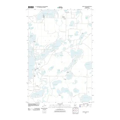 2010 Cross Lake2010 Print · USGSCovers Crosslake, including Emily, Fifty Lakes, and other nearby areas
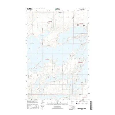
 - 2010 Map of Lower Whitefish Lake, 2010 Print
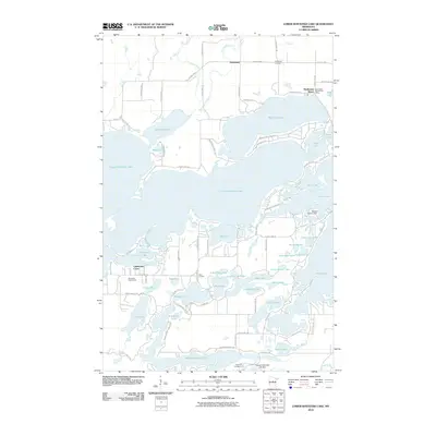 2010 Lower Whitefish Lake2010 Print · USGSCovers Crosslake, including Breezy Point, Fifty Lakes, and other nearby areas
 - 2013 Map of Lower Whitefish Lake, 2013 Print
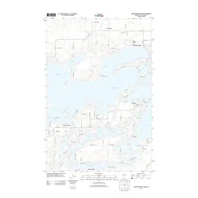 2013 Lower Whitefish Lake2013 Print · USGSCovers Crosslake, including Breezy Point, Fifty Lakes, and other nearby areas
 - 2013 Map of Cross Lake, 2013 Print
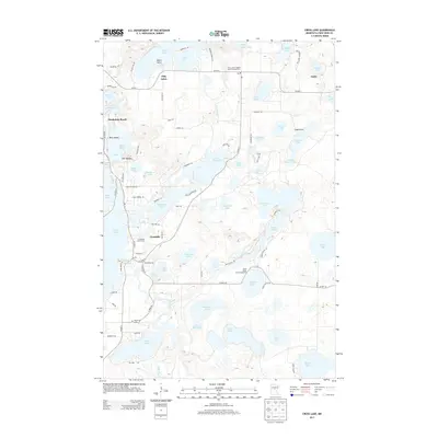 2013 Cross Lake2013 Print · USGSCovers Crosslake, including Emily, Fifty Lakes, and other nearby areas
 - 2016 Map of Lower Whitefish Lake, 2016 Print
 2016 Lower Whitefish Lake2016 Print · USGSCovers Crosslake, including Breezy Point, Fifty Lakes, and other nearby areas
 - 2016 Map of Cross Lake, 2016 Print
 2016 Cross Lake2016 Print · USGSCovers Crosslake, including Emily, Fifty Lakes, and other nearby areas
 - 2019 Map of Cross Lake, 2019 Print
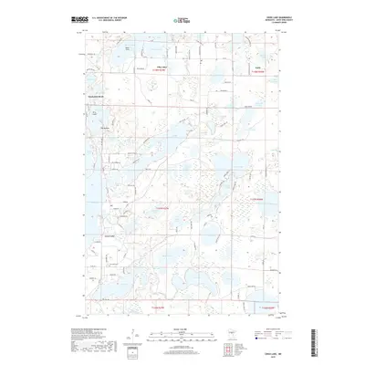 2019 Cross Lake2019 Print · USGSCovers Crosslake, including Emily, Fifty Lakes, and other nearby areas
 - 2019 Map of Lower Whitefish Lake, 2019 Print
 2019 Lower Whitefish Lake2019 Print · USGSCovers Crosslake, including Breezy Point, Fifty Lakes, and other nearby areas
 - 2022 Map of Cross Lake, 2022 Print
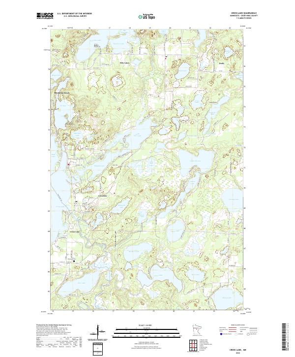 2022 Cross Lake2022 Print · USGSThis lake-strewn portion of Crow Wing County shows the modern development of the Minnesota north woods. Trace local landmarks like Pinewood Cem and the early settlements of Fifty Lakes and Manhattan Beach along the banks of the Pine River.
 - 2022 Map of Lower Whitefish Lake, 2022 Print
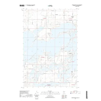
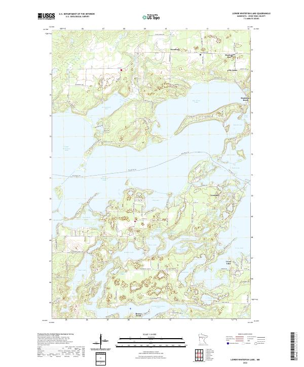 2022 Lower Whitefish Lake2022 Print · USGSThe interconnected waters of the Brainerd Lakes area are shown here in the 2020s, revealing a landscape defined by seasonal and permanent lakeside communities. You can trace the development around Crosslake and Breezy Point or locate the Swanburg Cem and Pine River Trl.
End of results
Showing maps 1-10 of 10
Top cities near Crosslake
- Crosby historical maps
- Nisswa historical maps
- Pequot Lakes historical maps
- Breezy Point historical maps
- Emily historical maps
- Mission historical maps
See more
Top neighborhoods of Crosslake
Frequently asked questions
- What are the different types of historical maps available for Crosslake?
- What is the oldest map of Crosslake?
- Where can I purchase historical maps of Crosslake for my home or office?
- Where can I download high-res historical maps of Crosslake?
- Are there historical topographic maps available for Crosslake?
- Is there historical aerial imagery available for Crosslake?
- Where are historical maps of Crosslake sourced from?