2000s (21st Century) Maps of Emily, Minnesota
Explore 20 historic maps of Emily from the 2000s (21st Century). These maps offer a rare glimpse into what life looked like during the 2000s — showing old roads, neighborhoods, homes, and landmarks that have changed or disappeared over time.
Whether you're researching your family's past, planning a metal detecting trip, or studying how Emily's landscape evolved across the 2000s, these high-resolution maps are a powerful tool for exploring the history of this region.
- Focus on a specific era: All maps on this page are from the 2000s, giving you a focused view of this time period.
- See what’s changed: Compare century-old streets, trails, and buildings to today's modern landscape using overlays and satellite layers.
- Research with precision: Use these maps for genealogy, historical research, land use analysis, or educational projects.
- View, download, or print: Maps are fully viewable online in high resolution, and can be downloaded or printed for your own records.
Start exploring Emily's history through authentic maps from the 2000s. This is your window into the past.
Emily, MN maps
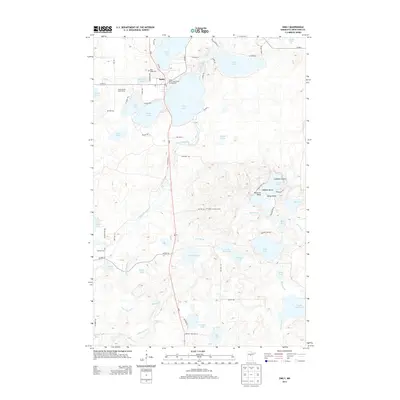
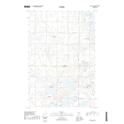
(20)- 2010 Map of Emily, 2010 Print
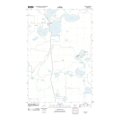 2010 Emily2010 Print · USGSCovers Emily, including Crow Wing County, United States, and other nearby areas
 - 2010 Map of Cross Lake, 2010 Print
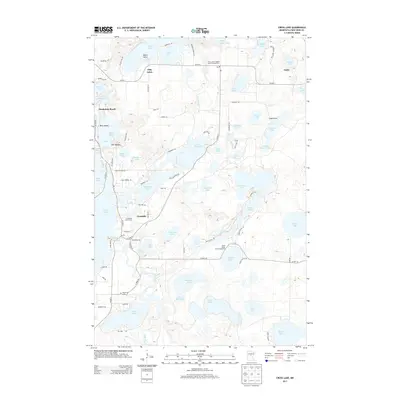
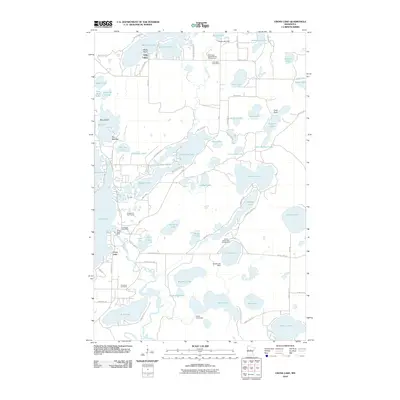 2010 Cross Lake2010 Print · USGSCovers Emily, including Fifty Lakes, Manhattan Beach, and other nearby areas
 - 2010 Map of Roosevelt Lake, 2010 Print
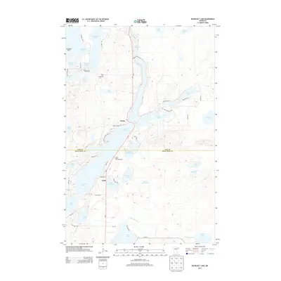
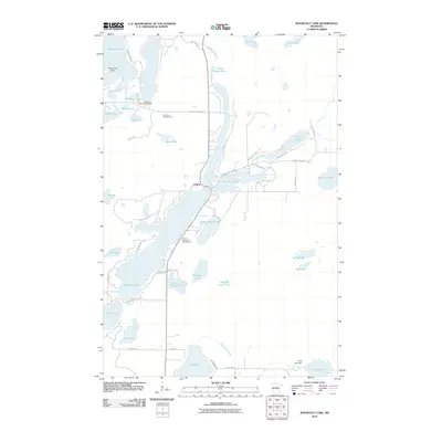 2010 Roosevelt Lake2010 Print · USGSCovers Emily, including Outing, Cass County, and other nearby areas
 - 2010 Map of Mitchell Lake, 2010 Print
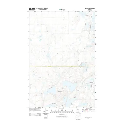
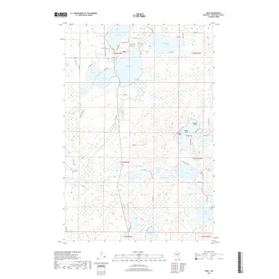
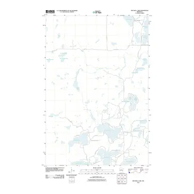 2010 Mitchell Lake2010 Print · USGSCovers Emily, including Fifty Lakes, Cass County, and other nearby areas
 - 2013 Map of Mitchell Lake, 2013 Print
 2013 Mitchell Lake2013 Print · USGSCovers Emily, including Fifty Lakes, Cass County, and other nearby areas
 - 2013 Map of Cross Lake, 2013 Print
 2013 Cross Lake2013 Print · USGSCovers Emily, including Fifty Lakes, Manhattan Beach, and other nearby areas
 - 2013 Map of Emily, 2013 Print
 2013 Emily2013 Print · USGSCovers Emily, including Crow Wing County, United States, and other nearby areas
 - 2013 Map of Roosevelt Lake, 2013 Print
 2013 Roosevelt Lake2013 Print · USGSCovers Emily, including Outing, Cass County, and other nearby areas
 - 2016 Map of Roosevelt Lake, 2016 Print
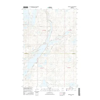 2016 Roosevelt Lake2016 Print · USGSCovers Emily, including Outing, Cass County, and other nearby areas
 - 2016 Map of Emily, 2016 Print
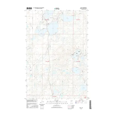 2016 Emily2016 Print · USGSCovers Emily, including Crow Wing County, United States, and other nearby areas
 - 2016 Map of Mitchell Lake, 2016 Print
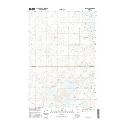 2016 Mitchell Lake2016 Print · USGSCovers Emily, including Fifty Lakes, Cass County, and other nearby areas
 - 2016 Map of Cross Lake, 2016 Print
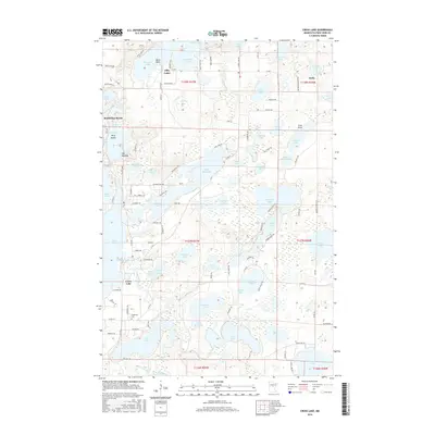 2016 Cross Lake2016 Print · USGSCovers Emily, including Fifty Lakes, Manhattan Beach, and other nearby areas
 - 2019 Map of Roosevelt Lake, 2019 Print
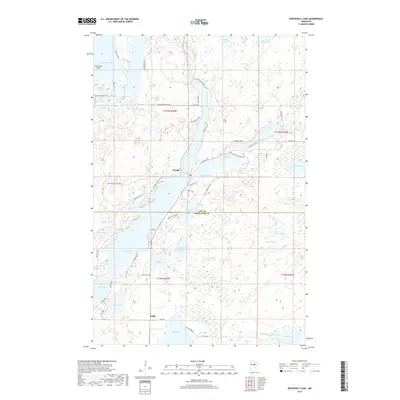 2019 Roosevelt Lake2019 Print · USGSCovers Emily, including Outing, Cass County, and other nearby areas
 - 2019 Map of Emily, 2019 Print
 2019 Emily2019 Print · USGSCovers Emily, including Crow Wing County, United States, and other nearby areas
 - 2019 Map of Cross Lake, 2019 Print
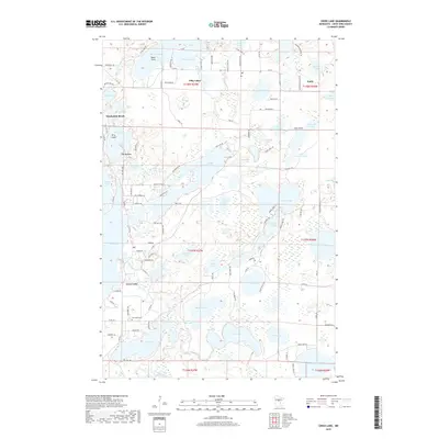 2019 Cross Lake2019 Print · USGSCovers Emily, including Fifty Lakes, Manhattan Beach, and other nearby areas
 - 2019 Map of Mitchell Lake, 2019 Print
 2019 Mitchell Lake2019 Print · USGSCovers Emily, including Fifty Lakes, Cass County, and other nearby areas
 - 2022 Map of Cross Lake, 2022 Print
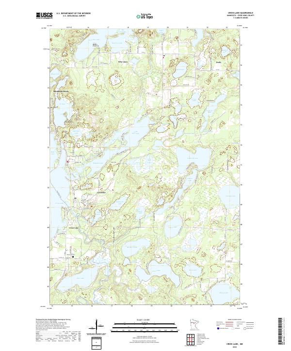 2022 Cross Lake2022 Print · USGSThis lake-strewn portion of Crow Wing County shows the modern development of the Minnesota north woods. Trace local landmarks like Pinewood Cem and the early settlements of Fifty Lakes and Manhattan Beach along the banks of the Pine River.
 - 2022 Map of Mitchell Lake, 2022 Print
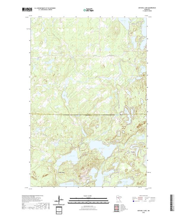 2022 Mitchell Lake2022 Print · USGSCentral Minnesota lakeland comes into focus in this recent survey of the transition between Cass and Crow Wing counties. Researchers can trace shoreline developments and roads near Emily, Fifty Lakes, and Fox Beach on West Fox Lake.
 - 2022 Map of Roosevelt Lake, 2022 Print
 2022 Roosevelt Lake2022 Print · USGSThe interconnected waters of the North Woods are shown here in the contemporary era, centered on the lakes of CASS CO and CROW WING CO. Local historians can trace shoreline developments and landings at Outing, Emily, and the shores of Roosevelt Lake.
 - 2022 Map of Emily, 2022 Print
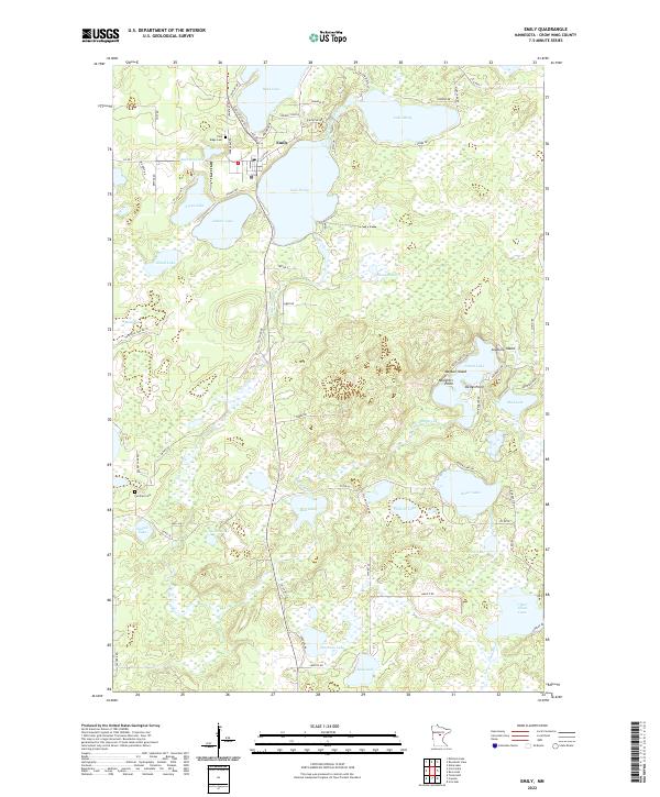 2022 Emily2022 Print · USGSLakeside life in central Minnesota is captured here in the early twenty-first century, centered on the community of Emily. Genealogists and local historians can trace family locations near the Pine Ridge Cem or landmarks like Kellys Point and Lake Mary.
End of results
Showing maps 1-20 of 20
Top cities near Emily
- Breezy Point historical maps
- Mission historical maps
- Fifty Lakes historical maps
- Wabedo historical maps
- Wolford historical maps
- Inguadona historical maps
See more
Frequently asked questions
- What are the different types of historical maps available for Emily?
- What is the oldest map of Emily?
- Where can I purchase historical maps of Emily for my home or office?
- Where can I download high-res historical maps of Emily?
- Are there historical topographic maps available for Emily?
- Is there historical aerial imagery available for Emily?
- Where are historical maps of Emily sourced from?