
2022 Map of Roosevelt Lake
USGS Topo · Published 2022About this map
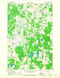
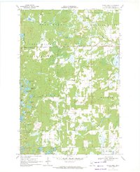
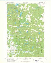
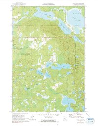
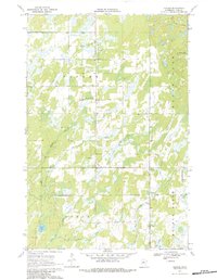
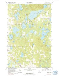
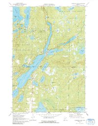
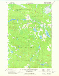
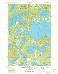
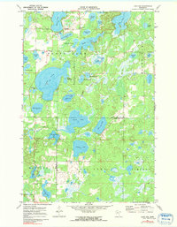
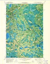
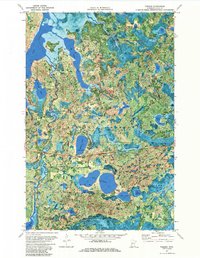
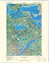
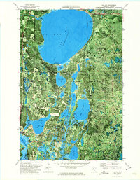
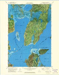
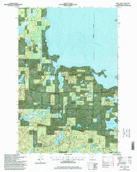
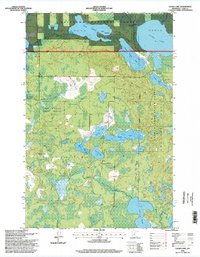
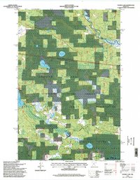
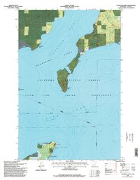
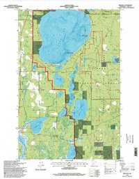
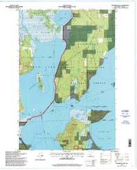
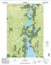
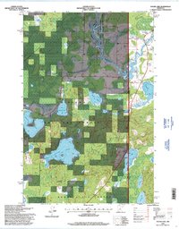
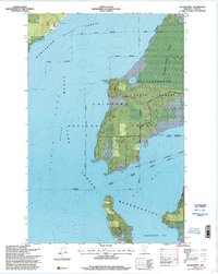
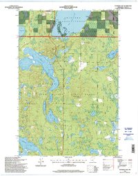
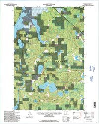
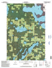
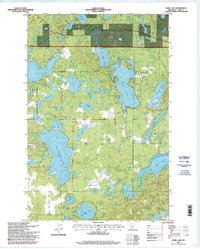
Roosevelt Lake dominates the center of this modern Minnesota landscape, serving as a primary focal point for the settlements of Outing and Emily. The map details a complex system of interconnected waterways and glacial lakes, including Washburn Lake, Lawrence Lake, and Ruth Lake. This area, straddling the boundary between Cass Co and Crow Wing Co, exhibits a dense network of local access roads such as Teddy Bear Acres Rd NE and Bloodroot Ln NE that weave between the shorelines.
Find a feature on this map
74 named features on this map. Tap any name to fly to it.
Don’t see what you’re looking for? This feature index may not catch every label — zoom into the map to look around manually.
Map Details
Editions of this 2022 Roosevelt Lake Map
This is the sole edition of this map. No revisions or reprints were ever made.
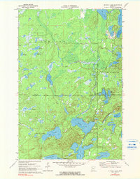
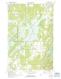
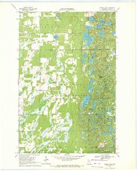
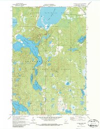
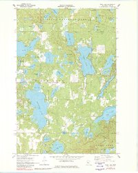
Historical Maps of Emily Through Time
88 maps found
1919 Leader
Cass County, MN
1959 Pine River SW
Cass County, MN
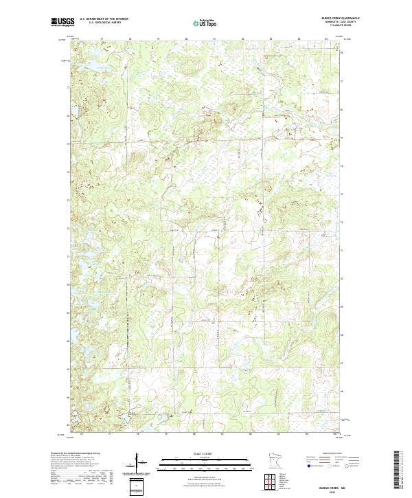
1966 Casino
Cass County, MN
1966 Motley NW
Cass County, MN
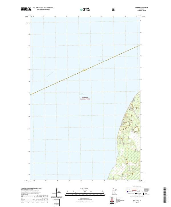
1970 Bungo Creek
Cass County, MN

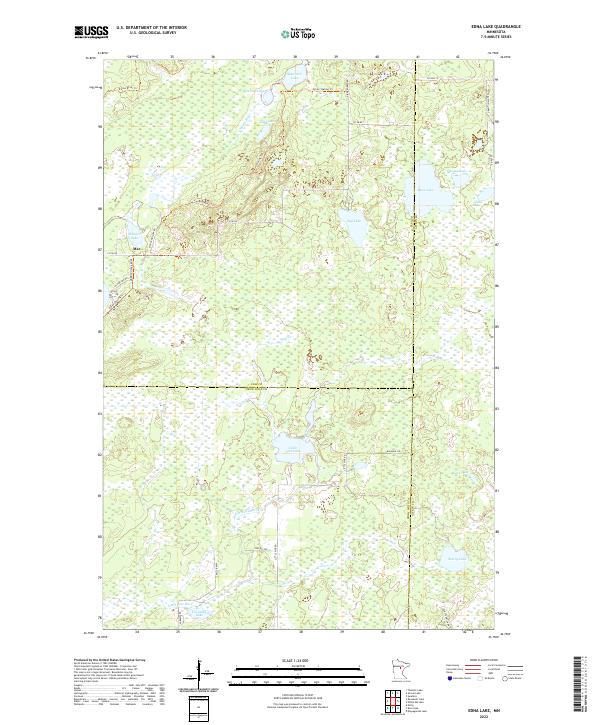
1970 Edna Lake
Cass County, MN
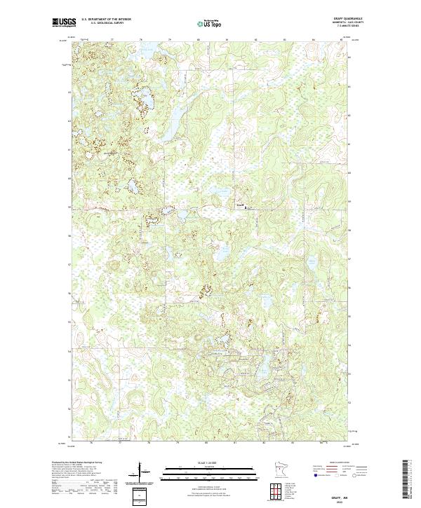
1970 Graff
Cass County, MN
1970 Laura Lake
Cass County, MN
1970 Leader
Cass County, MN
1970 Mildred
Cass County, MN
1970 Mitchell Lake
Cass County, MN
1970 Oshawa
Cass County, MN
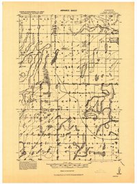
1970 Roosevelt Lake
Cass County, MN
1970 Shovel Lake
Cass County, MN
1970 Spider Lake
Cass County, MN
1970 Thunder Lake
Cass County, MN
1970 Webb Lake
Cass County, MN
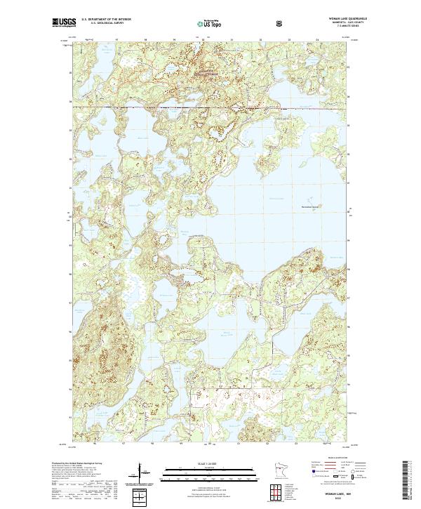
1970 Woman Lake
Cass County, MN
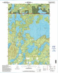
1971 Bena NW
Cass County, MN
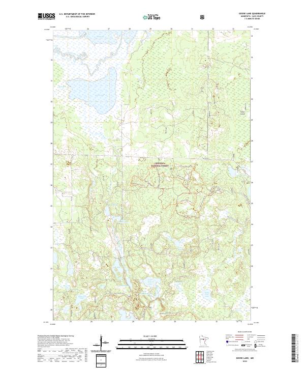
1971 Goose Lake
Cass County, MN
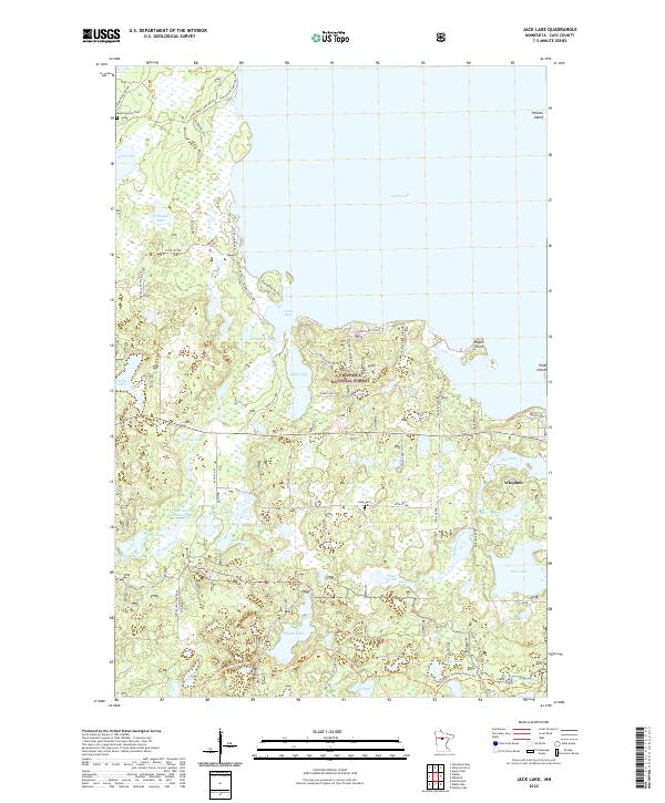
1971 Jack Lake
Cass County, MN
1971 Lake Ada
Cass County, MN
1971 Nushka Lake
Cass County, MN
1971 Ottertail Point
Cass County, MN
1971 Portage Lake
Cass County, MN
1971 Shingle Mill Lake
Cass County, MN
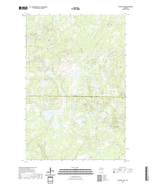
1971 Stewart Lake
Cass County, MN
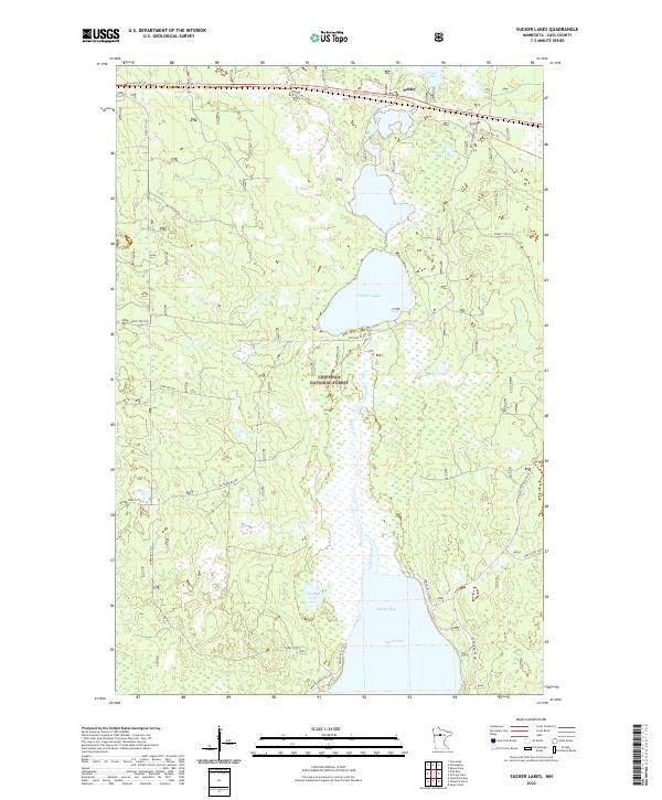
1971 Sucker Lakes
Cass County, MN
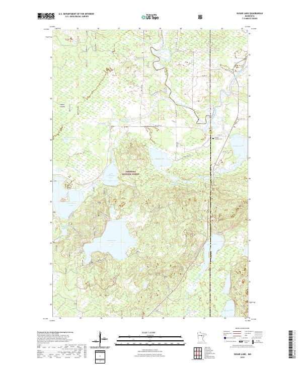
1971 Sugar Lake
Cass County, MN
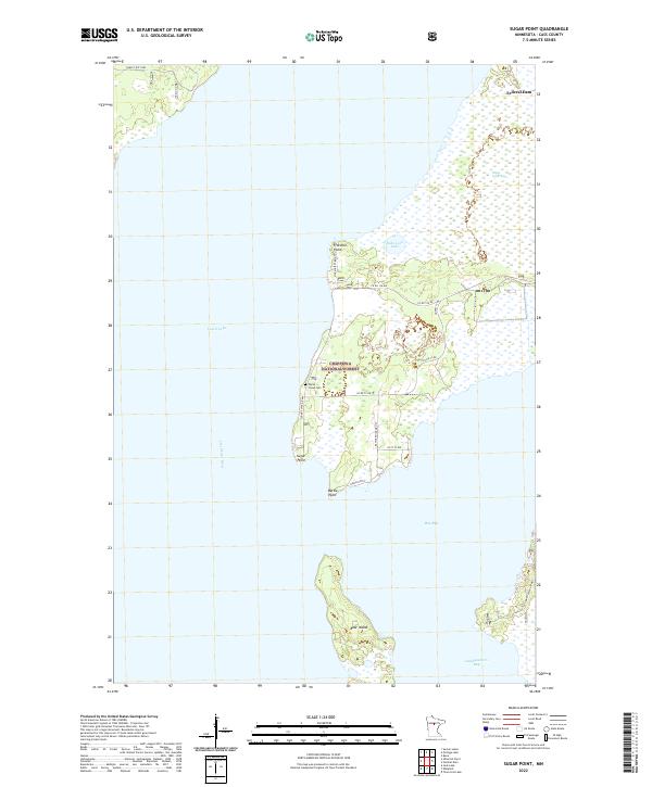
1971 Sugar Point
Cass County, MN
1971 Tobique
Cass County, MN
1971 Town Line Lake
Cass County, MN
1972 Pike Bay
Cass County, MN
1972 Steamboat Bay
Cass County, MN
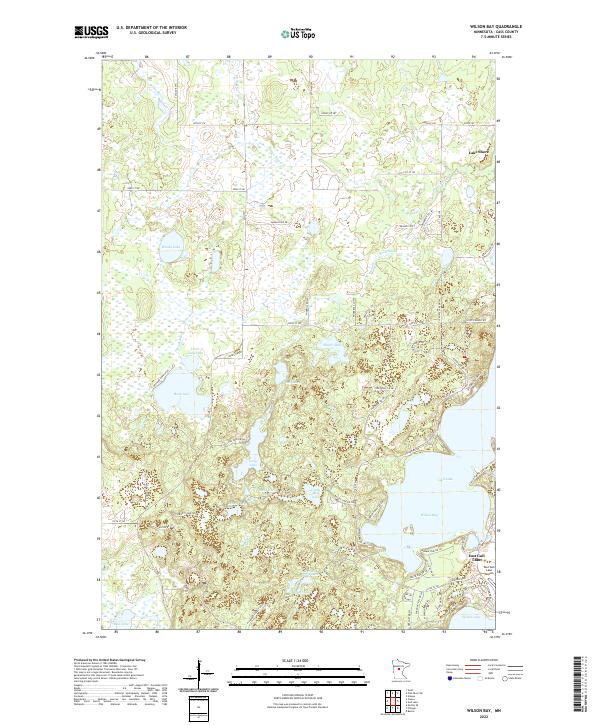
1973 Wilson Bay
Cass County, MN
1996 Bena NW
Cass County, MN
1996 Goose Lake
Cass County, MN
1996 Jack Lake
Cass County, MN
1996 Laura Lake
Cass County, MN
1996 Nushka Lake
Cass County, MN
1996 Ottertail Point
Cass County, MN
1996 Pike Bay
Cass County, MN
1996 Portage Lake
Cass County, MN
1996 Shingle Mill Lake
Cass County, MN
1996 Shovel Lake
Cass County, MN
1996 Steamboat Bay
Cass County, MN
1996 Sucker Lakes
Cass County, MN
1996 Sugar Lake
Cass County, MN
1996 Sugar Point
Cass County, MN
1996 Thunder Lake
Cass County, MN
1996 Tobique
Cass County, MN
1996 Town Line Lake
Cass County, MN
1996 Webb Lake
Cass County, MN
1996 Woman Lake
Cass County, MN
2022 Bena NW
Cass County, MN
2022 Bungo Creek
Cass County, MN
2022 Casino
Cass County, MN
2022 Edna Lake
Cass County, MN
2022 Goose Lake
Cass County, MN
2022 Graff
Cass County, MN
2022 Jack Lake
Cass County, MN
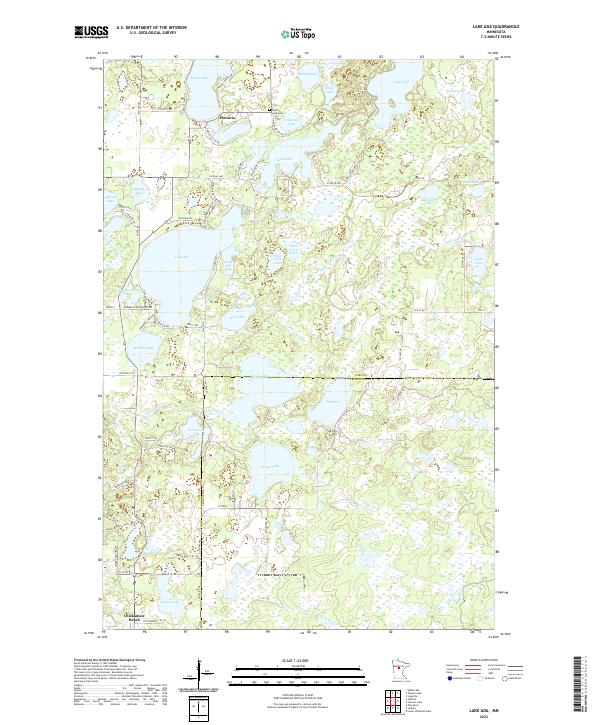
2022 Lake Ada
Cass County, MN
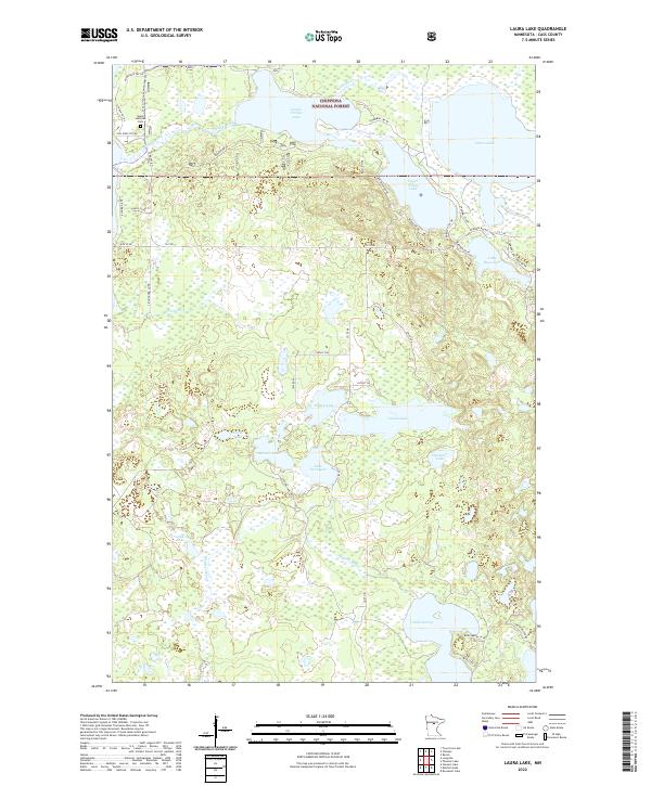
2022 Laura Lake
Cass County, MN
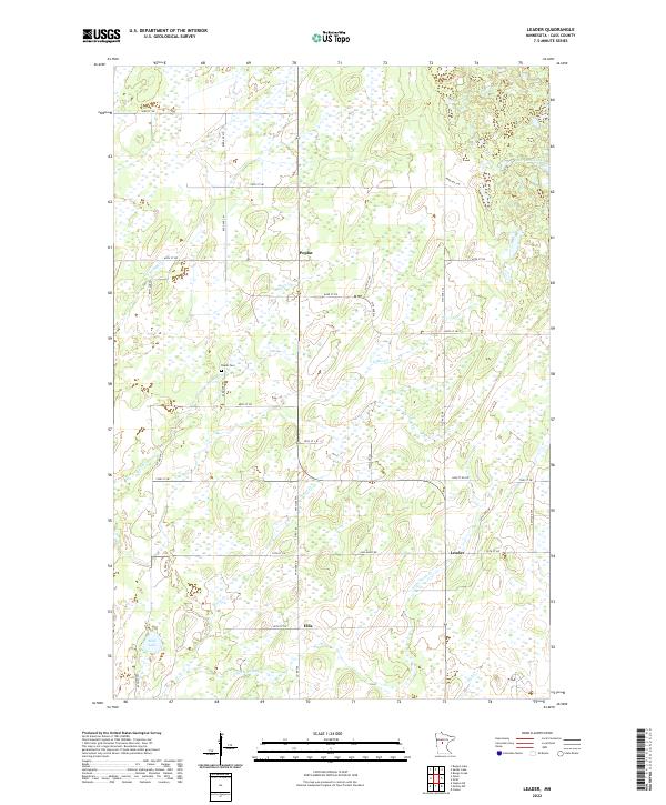
2022 Leader
Cass County, MN
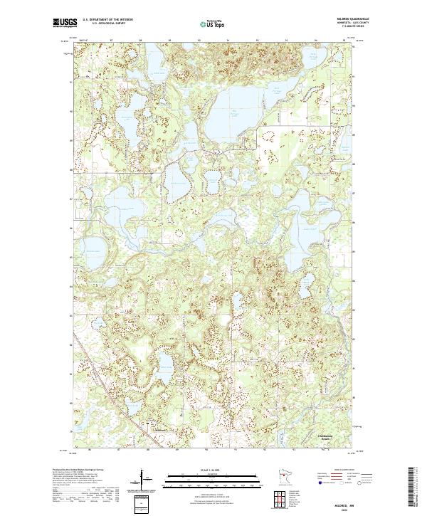
2022 Mildred
Cass County, MN
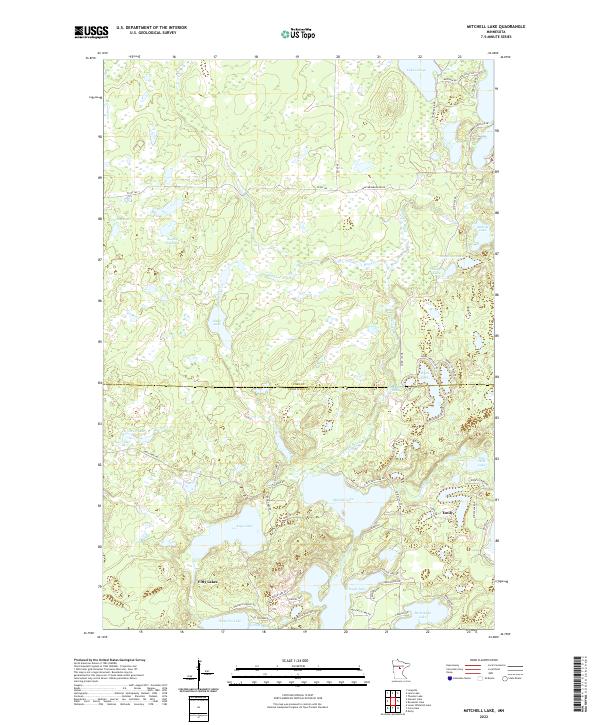
2022 Mitchell Lake
Cass County, MN
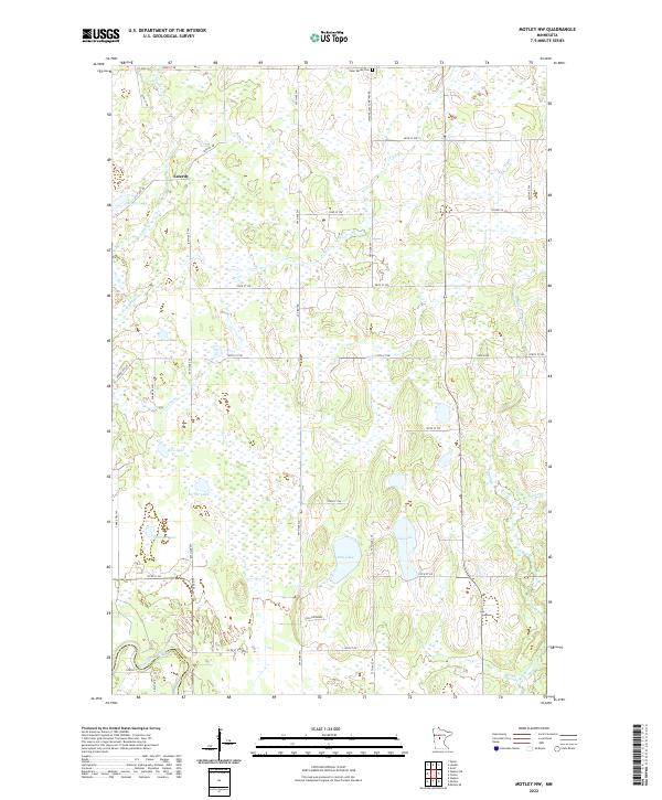
2022 Motley NW
Cass County, MN
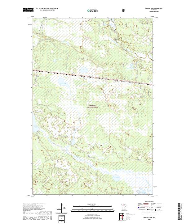
2022 Nushka Lake
Cass County, MN
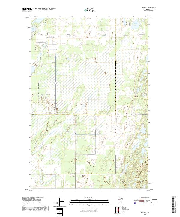
2022 Oshawa
Cass County, MN
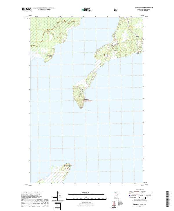
2022 Ottertail Point
Cass County, MN
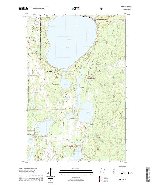
2022 Pike Bay
Cass County, MN
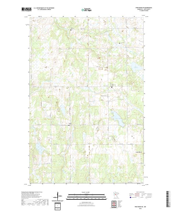
2022 Pine River SW
Cass County, MN
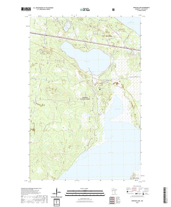
2022 Portage Lake
Cass County, MN
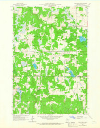
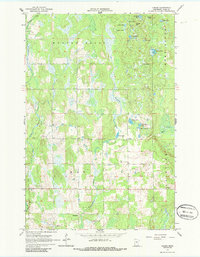
2022 Roosevelt Lake
Cass County, MN
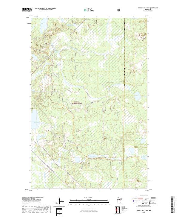
2022 Shingle Mill Lake
Cass County, MN
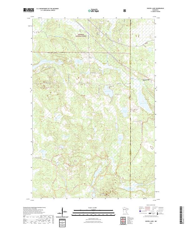
2022 Shovel Lake
Cass County, MN
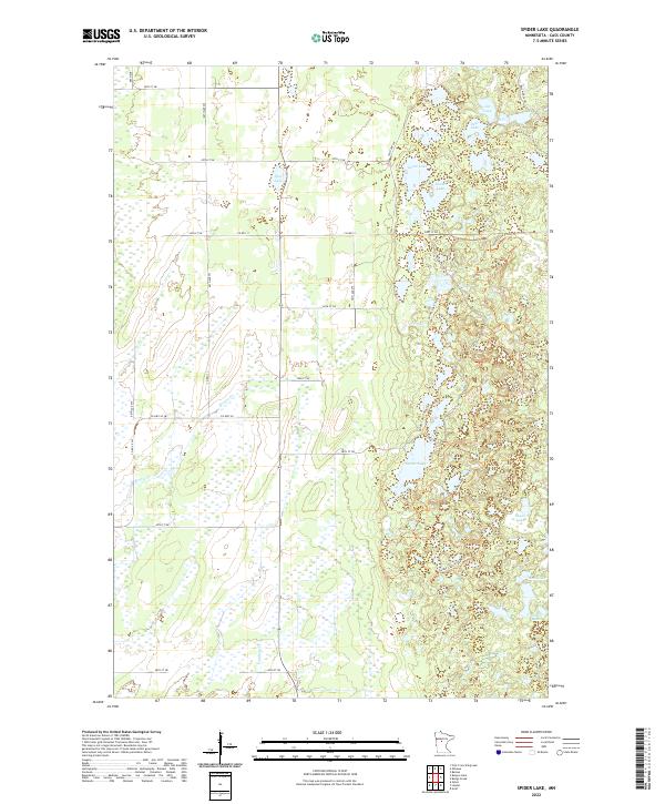
2022 Spider Lake
Cass County, MN
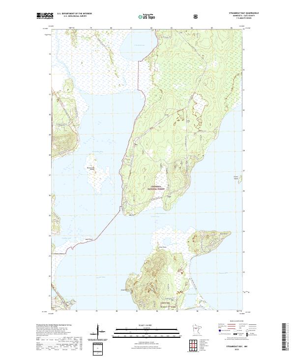
2022 Steamboat Bay
Cass County, MN
2022 Stewart Lake
Cass County, MN
2022 Sucker Lakes
Cass County, MN
2022 Sugar Lake
Cass County, MN
2022 Sugar Point
Cass County, MN
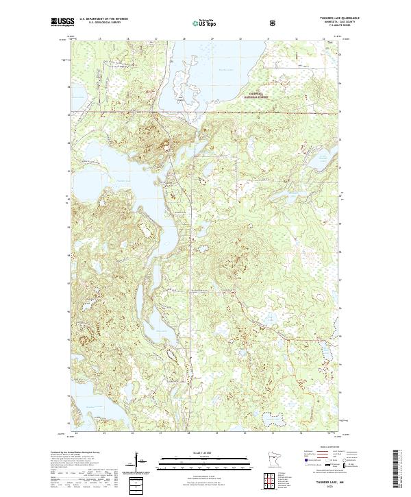
2022 Thunder Lake
Cass County, MN
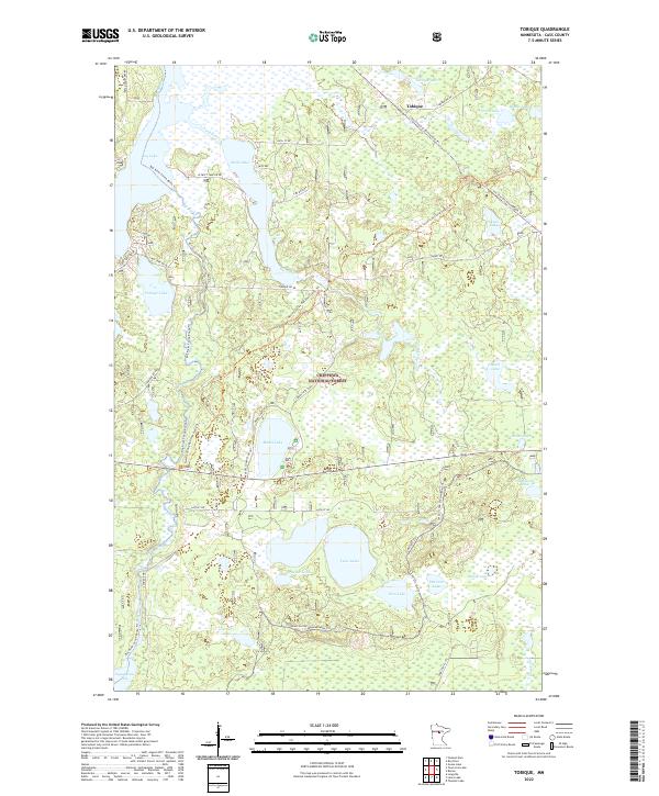
2022 Tobique
Cass County, MN
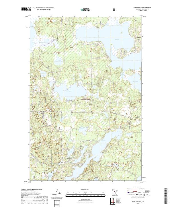
2022 Town Line Lake
Cass County, MN
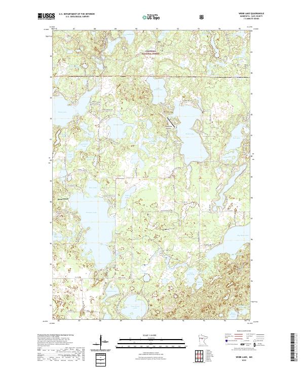
2022 Webb Lake
Cass County, MN
2022 Wilson Bay
Cass County, MN
2022 Woman Lake
Cass County, MN