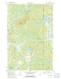
1970 Map of Edna Lake
USGS Topo · Published 1992About this map
Land O' Lakes State Forest and Hill River State Forest converge in this northern wilderness, where a complex network of glacial lakes and waterways dominates the landscape. The hydrography, compiled from Minnesota Department of Conservation charts, reveals a world of remote basins including Edna Lake, Little Pine Lake, and the aptly named Rice Pad Lake. The Little Pine River meanders through the central terrain, while the Duck Lake State Wildlife Management Area occupies the southwestern corner near Caraway Lake.
Find a feature on this map
25 named features on this map. Tap any name to fly to it.
Don’t see what you’re looking for? This feature index may not catch every label — zoom into the map to look around manually.
Map Details
Editions of this 1970 Edna Lake Map
2 editions found
Other maps of this area

1913 · Cuyuna
USGS Topo · 1:62,500

1914 · Aitkin
USGS Topo · 1:62,500

1915 · Aitkin
USGS Topo · 1:62,500

1915 · Cuyuna
USGS Topo · 1:62,500

1953 · Duluth
USGS Topo · 1:250,000

1958 · Duluth
USGS Topo · 1:250,000

1970 · Edna Lake
USGS Topo · 1:24,000

1970 · Shovel Lake
USGS Topo · 1:24,000
1970 · Roosevelt Lake
USGS Topo · 1:24,000
1970 · Thunder Lake
USGS Topo · 1:24,000