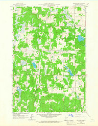
1959 Map of Pine River SW
USGS Topo · Published 1966About this map
Bethlehem Ch and Grace Ch stand as spiritual anchors in this mid-century landscape of Cass County, defined by a dense network of waterways and small rural institutions. The terrain is dominated by the Maple and Home Brook areas, where the drainage of Mayo Creek and Stony Brook shapes the local geography. Significant for local historians, the map identifies the Mayo Creek Cem and the Stony Brook Sch, representing the essential community nodes for families living outside the more concentrated Lake Shore settlement.
Find a feature on this map
17 named features on this map. Tap any name to fly to it.
Don’t see what you’re looking for? This feature index may not catch every label — zoom into the map to look around manually.
Map Details
Editions of this 1959 Pine River SW Map
2 editions found
Other maps of this area

1916 · Pillager
USGS Topo · 1:62,500

1919 · Pillager
USGS Topo · 1:62,500

1919 · Leader
USGS Topo · 1:62,500

1953 · Brainerd
USGS Topo · 1:250,000

1957 · Brainerd
USGS Topo · 1:250,000

1958 · Brainerd
USGS Topo · 1:250,000

1959 · Nisswa
USGS Topo · 1:24,000

1959 · Pine River
USGS Topo · 1:24,000

1959 · Jenkins
USGS Topo · 1:24,000

1959 · Pine River SW
USGS Topo · 1:24,000