
1959 Map of Jenkins
USGS Topo · Published 1960About this map
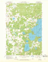
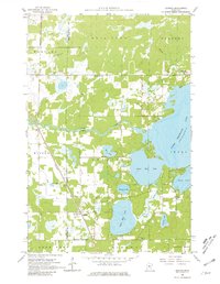
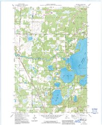
Jenkins serves as the focal point of this late 1950s landscape, situated along the Northern Pacific railroad line near the junction of Cass and Crow Wing counties. The village is surrounded by a dense network of water bodies, including Upper Hay Lake, Lower Hay Lake, and the expansive Upper Whitefish Lake to the east. The map illustrates a rural community supported by local institutions such as the Town Hall, Clover Hill School, and the Whitefish Gospel Tabernacle.
Find a feature on this map
34 named features on this map. Tap any name to fly to it.
Don’t see what you’re looking for? This feature index may not catch every label — zoom into the map to look around manually.
Map Details
Editions of this 1959 Jenkins Map
4 editions found
Other maps of this area

1953 · Brainerd
USGS Topo · 1:250,000

1957 · Brainerd
USGS Topo · 1:250,000

1958 · Brainerd
USGS Topo · 1:250,000

1959 · Pelican Lake
USGS Topo · 1:24,000

1959 · Nisswa
USGS Topo · 1:24,000

1959 · Lower Whitefish Lake
USGS Topo · 1:24,000

1959 · Pine River
USGS Topo · 1:24,000

1959 · Pine River SW
USGS Topo · 1:24,000

1965 · Brainerd
USGS Topo · 1:250,000
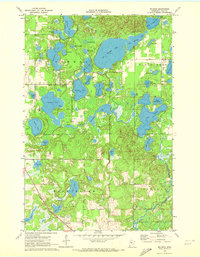
1970 · Mildred
USGS Topo · 1:24,000