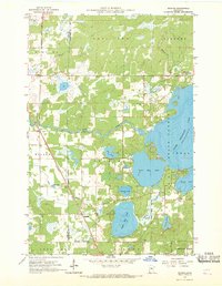
1959 Map of Jenkins
USGS Topo · Published 1970About this map
Jenkins serves as the central hub of this northern Minnesota lake country, situated at the junction of the Northern Pacific railroad and the Pine River. The landscape is dominated by a complex network of glacial water bodies, including Lower Hay Lake, Upper Hay Lake, and the expansive Upper Whitefish Lake. These waters are bordered by the Crow Wing State Forest, reflecting a region defined by its timber and seasonal recreation even as the village maintained local institutions like the Jenkins Cem and Whitefish Gospel Tabernacle.
Find a feature on this map
33 named features on this map. Tap any name to fly to it.
Don’t see what you’re looking for? This feature index may not catch every label — zoom into the map to look around manually.
Map Details
Editions of this 1959 Jenkins Map
4 editions found
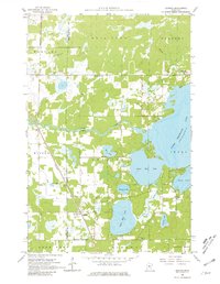
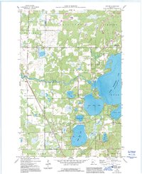
Other maps of this area

1953 · Brainerd
USGS Topo · 1:250,000

1957 · Brainerd
USGS Topo · 1:250,000

1958 · Brainerd
USGS Topo · 1:250,000

1959 · Pelican Lake
USGS Topo · 1:24,000

1959 · Nisswa
USGS Topo · 1:24,000

1959 · Lower Whitefish Lake
USGS Topo · 1:24,000

1959 · Pine River
USGS Topo · 1:24,000

1959 · Jenkins
USGS Topo · 1:24,000

1959 · Pine River SW
USGS Topo · 1:24,000

1965 · Brainerd
USGS Topo · 1:250,000