
1959 Map of Pelican Lake
USGS Topo · Published 1960About this map
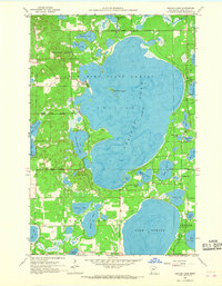
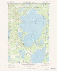
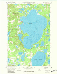
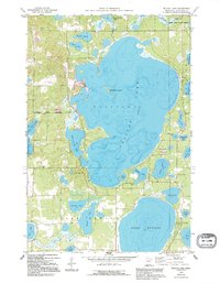
Crow Wing State Forest dominates the landscape of this mid-century survey, enclosing the massive expanse of Pelican Lake. This central water body, characterized by its irregular shoreline and the prominent Gooseberry Island, is the focal point of a complex glacial lake system. To the south, the equally significant Lake Edward is bordered by the Pelican Lakes Village Bdy, indicating the early structural development of this recreation-heavy region. Cultural landmarks are scattered among the timber and wetlands, including the Ossipee Sch and a local Town Hall, which point to the established rural community existing alongside the forest. Smaller bodies like Little Pelican Lake and Lougee Lake fill the depressions between ridges, while a Gaging Sta on Pelican Brook suggests the active water management and monitoring of the era.
Find a feature on this map
34 named features on this map. Tap any name to fly to it.
Don’t see what you’re looking for? This feature index may not catch every label — zoom into the map to look around manually.
Map Details
Editions of this 1959 Pelican Lake Map
5 editions found
Other maps of this area

1915 · Brainerd
USGS Topo · 1:62,500

1916 · Pillager
USGS Topo · 1:62,500

1918 · Brainerd
USGS Topo · 1:62,500

1919 · Pillager
USGS Topo · 1:62,500

1953 · Brainerd
USGS Topo · 1:250,000

1957 · Brainerd
USGS Topo · 1:250,000

1958 · Brainerd
USGS Topo · 1:250,000

1959 · Trommald
USGS Topo · 1:24,000

1959 · Nisswa
USGS Topo · 1:24,000

1959 · Lower Whitefish Lake
USGS Topo · 1:24,000