
1959 Map of Trommald
USGS Topo · Published 1960About this map
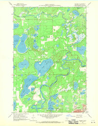
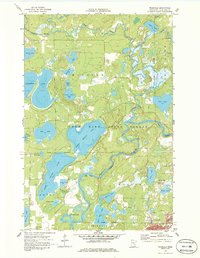
Industrial activity and water-bound wilderness meet in this 1959 study of the Cuyuna Range. The Mississippi River winds through the southern landscape, passing just north of the mining communities of Trommald and Manganese. These settlements are closely tied to the iron industry, as evidenced by the nearby Musser Mine and Maroco Mine, while the Northern Pacific railroad provides the vital transport link for extracted ore.
Find a feature on this map
40 named features on this map. Tap any name to fly to it.
Don’t see what you’re looking for? This feature index may not catch every label — zoom into the map to look around manually.
Map Details
Editions of this 1959 Trommald Map
3 editions found
Other maps of this area

1912 · Deerwood
USGS Topo · 1:62,500

1913 · Cuyuna
USGS Topo · 1:62,500

1914 · Deerwood
USGS Topo · 1:62,500

1915 · Cuyuna
USGS Topo · 1:62,500

1915 · Brainerd
USGS Topo · 1:62,500

1918 · Brainerd
USGS Topo · 1:62,500

1953 · Duluth
USGS Topo · 1:250,000

1953 · Brainerd
USGS Topo · 1:250,000

1957 · Brainerd
USGS Topo · 1:250,000

1958 · Brainerd
USGS Topo · 1:250,000