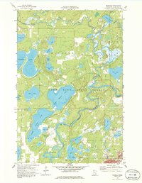
1959 Map of Trommald
USGS Topo · Published 1986About this map
The Mississippi River and Pine River converge in this mid-century survey of Crow Wing County, a landscape defined by an intricate network of glacial lakes and wetlands. The settlement of Mission serves as a focal point near the northern shores of Upper Mission Lake, while the Mission Cem remains a significant landmark for those tracing local lineages. The southern portion of the map reveals the region's industrial character through the presence of the Musser Mine and Mangan Mine near the town of Trommald. This area, heavily influenced by the mining industry of the Cuyuna Range, also features the label Manganese, indicating the specific mineral extraction that drove the local economy. From the Silver Lake Sch in the southwest to the winding path of Pelican Brook, the map provides a comprehensive view of how water, timber, and ore shaped the settlement patterns within the Crow Wing State Forest.
Find a feature on this map
41 named features on this map. Tap any name to fly to it.
Don’t see what you’re looking for? This feature index may not catch every label — zoom into the map to look around manually.
Map Details
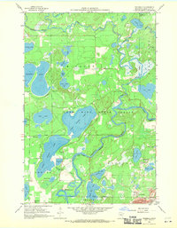
Editions of this 1959 Trommald Map
3 editions found

Other maps of this area

1912 · Deerwood
USGS Topo · 1:62,500

1913 · Cuyuna
USGS Topo · 1:62,500

1914 · Deerwood
USGS Topo · 1:62,500

1915 · Cuyuna
USGS Topo · 1:62,500

1915 · Brainerd
USGS Topo · 1:62,500

1918 · Brainerd
USGS Topo · 1:62,500

1953 · Duluth
USGS Topo · 1:250,000

1953 · Brainerd
USGS Topo · 1:250,000

1957 · Brainerd
USGS Topo · 1:250,000

1958 · Brainerd
USGS Topo · 1:250,000