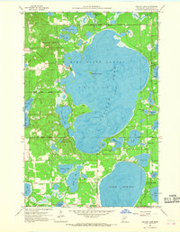
1959 Map of Pelican Lake
USGS Topo · Published 1968About this map
Crow Wing State Forest encompasses much of this 1959 landscape, dominated by the sprawling waters of Pelican Lake and Lake Edward. This era reflects a post-war Northwoods character, where small civic markers like the local Town Hall and the Ossipee Sch serve as the primary landmarks for a growing lakeside community. The map reveals the intricate shoreline of Pelican Lake, featuring Gooseberry Island and the neighboring Little Pelican Lake.
Find a feature on this map
34 named features on this map. Tap any name to fly to it.
Don’t see what you’re looking for? This feature index may not catch every label — zoom into the map to look around manually.
Map Details
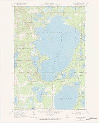
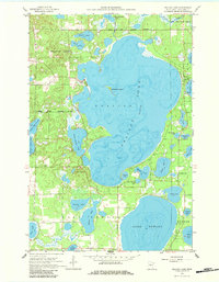
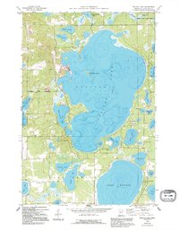
Editions of this 1959 Pelican Lake Map
5 editions found
Other maps of this area

1915 · Brainerd
USGS Topo · 1:62,500

1916 · Pillager
USGS Topo · 1:62,500

1918 · Brainerd
USGS Topo · 1:62,500

1919 · Pillager
USGS Topo · 1:62,500

1953 · Brainerd
USGS Topo · 1:250,000

1957 · Brainerd
USGS Topo · 1:250,000

1958 · Brainerd
USGS Topo · 1:250,000

1959 · Trommald
USGS Topo · 1:24,000

1959 · Pelican Lake
USGS Topo · 1:24,000

1959 · Nisswa
USGS Topo · 1:24,000